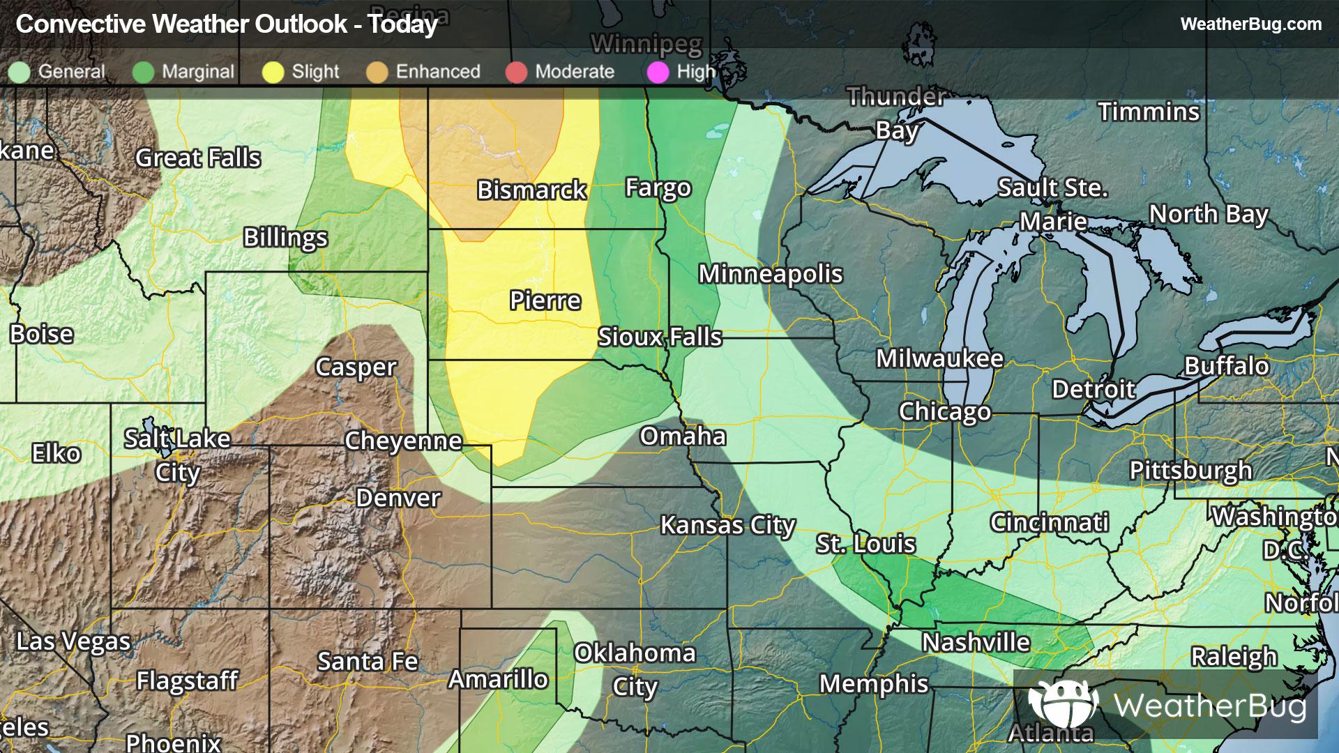
Storms Bring Flood and Severe Risk to High Plains
A robust low pressure system will continue to deliver severe weather to the High Plains tonight.
Read More
57degrees Fahrenheit

Feels like:57°
Hi:--Lo:53°
Mostly Clear
Lo

Partly cloudy. A slight chance of showers after midnight. Lows in the lower 50s. Light southeast winds. Chance of rain 20 percent.
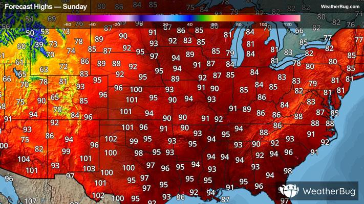
Hi

Very warm. A slight chance of showers in the afternoon. Partly cloudy. Highs 80 to 85. Southeast winds 5 to 10 mph increasing to 10 to 15 mph in the afternoon. Chance of rain 20 percent.


Closest strike in the last 30 minutes:479.5 miles
No Lightning Nearby
A robust low pressure system will continue to deliver severe weather to the High Plains tonight.