
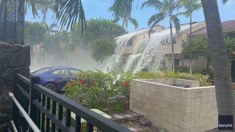
Heavy Rain & Severe Storms Pummel East, Plains
Heavy rain and strong storms will shift to the Eastern U.S. today while a separate disturbance brings hail concerns to the eastern Rockies.
Read More
79degrees Fahrenheit

Feels like:79°
Hi:82°Lo:72°
70% Chance Rain Showers
Hi

Showers with a chance of thunderstorms late this morning then showers and thunderstorms likely this afternoon. Highs in the mid 80s. Southwest winds 5 to 10 mph with gusts up to 20 mph. Chance of rain near 100 percent.
Lo

Mostly cloudy. Showers likely with a chance of thunderstorms in the evening then a chance of showers with a slight chance of thunderstorms after midnight. Lows in the lower 70s. Northwest winds around 5 mph in the evening becoming light and variable. Chance of rain 60 percent.

Closest strike in the last 30 minutes:10.3 miles
Storms Approaching


