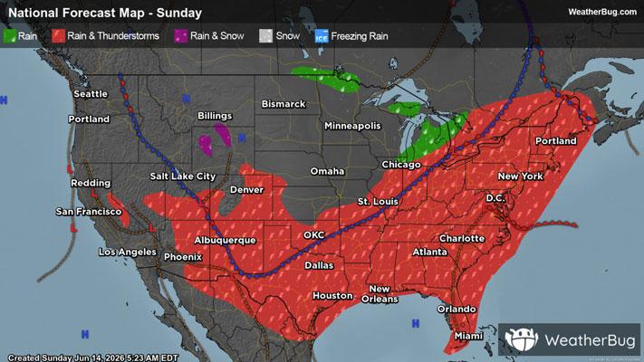
Severe Storms To Strike The Northeast Down Into The Southeast
Strong to severe thunderstorms are likely to develop across the Northeast, Mid-Atlantic and parts of the Southeast later this afternoon and evening leading to travel delays.
Read More

Mostly Cloudy
Hi

Partly sunny with a 20 percent chance of showers. Highs in the lower 80s. Southwest winds around 10 mph with gusts up to 20 mph.
Lo

Showers. A chance of thunderstorms. Some thunderstorms may be severe with damaging winds and heavy rainfall in the evening. Some thunderstorms may produce heavy rainfall after midnight. Lows in the mid 50s. South winds around 10 mph with gusts up to 25 mph. Chance of rain near 100 percent.


Closest strike in the last 30 minutes:18.3 miles
Storms Approaching