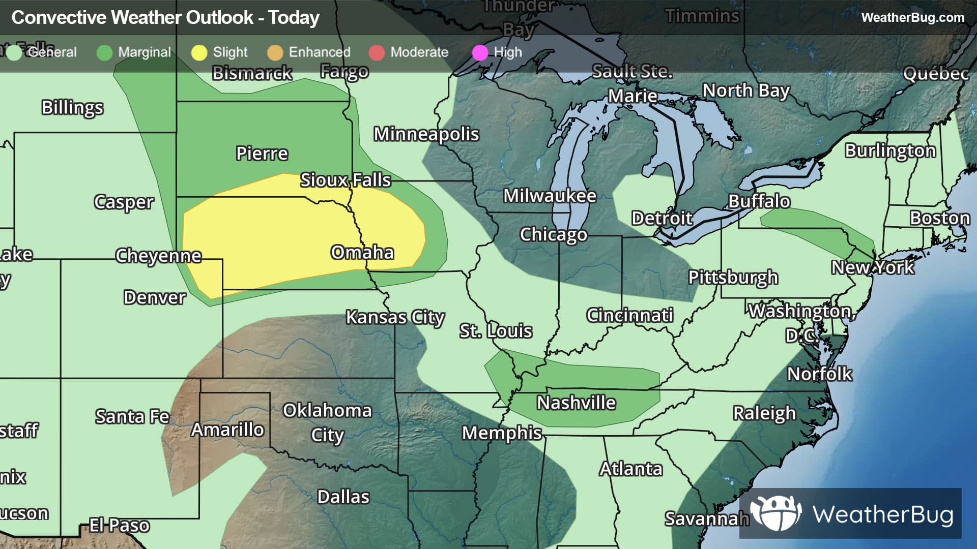
There is a Marginal Severe Storm Risk for your location. Continue reading for today's outlook from the National Weather Service's Storm Prediction Center.
--------------------
National Severe Storm Outlook
THERE IS A SLIGHT RISK OF SEVERE THUNDERSTORMS ACROSS PARTS OF THE CENTRAL PLAINS INTO WESTERN IOWA
SUMMARY
Multiple supercells with large hail potential across the northern/central High Plains should evolve into a bowing cluster tonight while spreading eastward across Nebraska and eventually into Iowa by early Thursday morning. This cluster will be capable of producing scattered severe/damaging winds.
Northern/Central Plains into Iowa
A mix of clusters and supercells is ongoing this evening from far northeast CO into western NE. The environment downstream into central/eastern NE remains favorable to maintain severe convection along/near a surface front. Large hail will remain possible with any sustained supercells given 35-45+ kt of deep-layer shear, and eventual upscale growth into a bowing cluster appears probable tonight with modestly enhanced east-southeasterly low-level flow providing an influx of warm/moist air. If this occurs, then the threat for severe/damaging winds would increase across central/eastern NE and perhaps eventually western IA, with isolated gusts of 75+ mph possible. Severe probabilities have been adjusted based on latest observational and short-term guidance trends. Reference Mesoscale Discussion 1961 for more details regarding the near-term severe threat across northeast CO/western NE.
Mid Mississippi Valley into the Lower Ohio Valley
Ongoing thunderstorm clusters across parts of the mid MS and lower OH Valleys have mostly diminished in intensity as they have become generally displaced south of the stronger mid-level flow across the Midwest/Great Lakes. Even with the gradual weakening trend observed, a couple of stronger clusters persist. Isolated damaging winds will remain possible for a couple more hours this evening as this activity spreads slowly southward.
Northeast
Loosely organized cells may continue to pose an isolated hail/gusty wind threat for the next hour or two across southern NY and vicinity along/near a surface front. The loss of daytime heating and gradual decrease in instability should result in eventual weakening of ongoing convection.
Lower Colorado River Valley
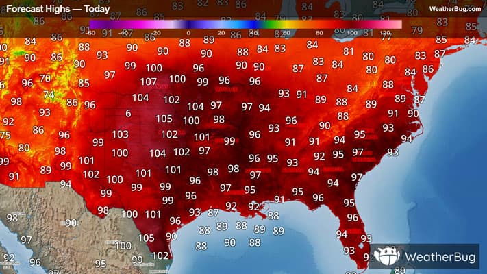
High-based thunderstorms which developed this afternoon in a hot and well-mixed boundary layer across interior southern CA and western AZ may remain capable of producing occasional severe gusts for a couple more hours this evening.