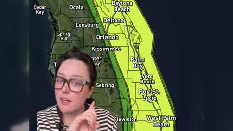
There is a Marginal Severe Storm Risk for your location. Continue reading for today's outlook from the National Weather Service's Storm Prediction Center.
--------------------
National Severe Storm Outlook
THERE IS A MARGINAL RISK OF SEVERE THUNDERSTORMS FOR PARTS OF SOUTH TX
SUMMARY
Strong to locally severe storms are possible across parts of South Texas, mainly during the afternoon and early evening.
Synopsis
A mid/upper-level shortwave trough initially over the south-central Plains is forecast to move east-northeastward and gradually deamplify through the day. A cold front will move across parts of the Mississippi/Ohio Valleys and southern Plains. Farther east, a surface low is forecast to consolidate off of the Carolina coast and move northeastward, with the warm sector of this system expected to remain offshore.
South Texas
Rich low-level moisture and modest diurnal heating will result in moderate destabilization this afternoon, with MLCAPE increasing to the 1000-1500 J/kg range. Large-scale ascent associated with the departing shortwave trough will be displaced well to the north, but at least isolated storm development will be possible this afternoon along the front, and also potentially ahead of the front near the south TX coast. Moderate midlevel flow will provide sufficient deep-layer shear for storm organization, and isolated hail will be possible with the strongest storms. Locally strong gusts will also be possible, through very weak low-level flow and an anticipated lack of organized upscale growth will tend to limit severe-wind potential.
ArkLaTex into western TN/KY
Relatively strong heating will result in steepening low-level lapse rates along/ahead of the front later today from the ArkLaTex region into western TN/KY. However, modest low-level moisture and weak midlevel lapse rates will limit buoyancy, with MLCAPE forecast to only reach the 500-750 J/kg range by peak heating. Isolated diurnal storm development will be possible along the front, with modestly favorable deep-layer shear potentially supporting transient storm organization. However, the weak thermodynamic environment is currently expected to limit severe potential, especially given the weakening trend of the ejecting shortwave trough across the region.