# HEADLINE
--------------------
ELEVATED RISK FOR FIRE SPREAD TODAY
# SUMMARY
--------------------
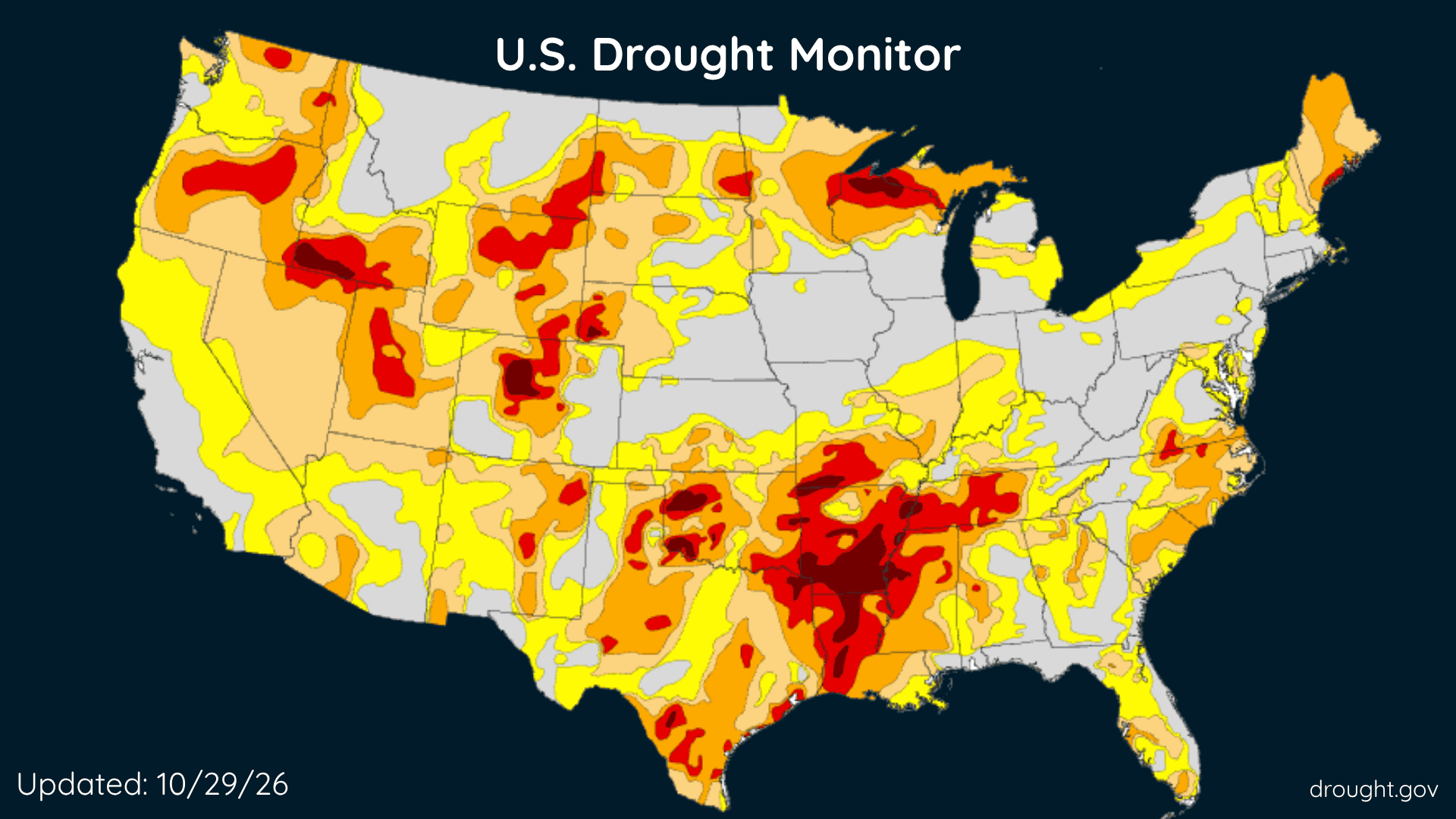
There is an elevated risk for fire spread today across eastern Pennsylvania. Minimum relative humidity values will drop to around 35 percent this afternoon. This will be accompanied by temperatures rising generally rising into the 60s and 70s and west winds around 10 to 15 gusting to around 25 mph. These conditions could support the rapid spread of any fires that ignite, which could quickly become difficult to control. Conditions improve during the evening as the wind diminishes and the relative humidity increases.
Outdoor burning is strongly discouraged. Be sure to properly extinguish or dispose of any potential ignition sources, including smoking materials such as cigarette butts. Use caution while using any machinery outdoors, such as lawn care equipment, that could cause sparks to come in contact with the dry ground.
This forecast considers meteorological, fuel, and land conditions and has been developed in coordination with state fire officials.
# DETAILS
--------------------
ISSUED AT
Friday, October 30, 2026 at 7:50 AM EDT
ISSUED BY
National Weather Service Mount Holly NJ
HEADER
Special Weather Statement
# AREAS AFFECTED
--------------------
Eastern Montgomery, Western Chester, Berks, Carbon, Delaware, Eastern Chester, Lehigh, Lower Bucks, Monroe, Northampton, Philadelphia, Upper Bucks, Western Montgomery
Including the cities of Jim Thorpe, Stroudsburg, Reading, Allentown, Bethlehem, Easton, Media, Philadelphia, Honey Brook, Oxford, West Chester, Kennett Square, Collegeville, Pottstown, Norristown, Lansdale, Chalfont, Perkasie, Morrisville, and Doylestown