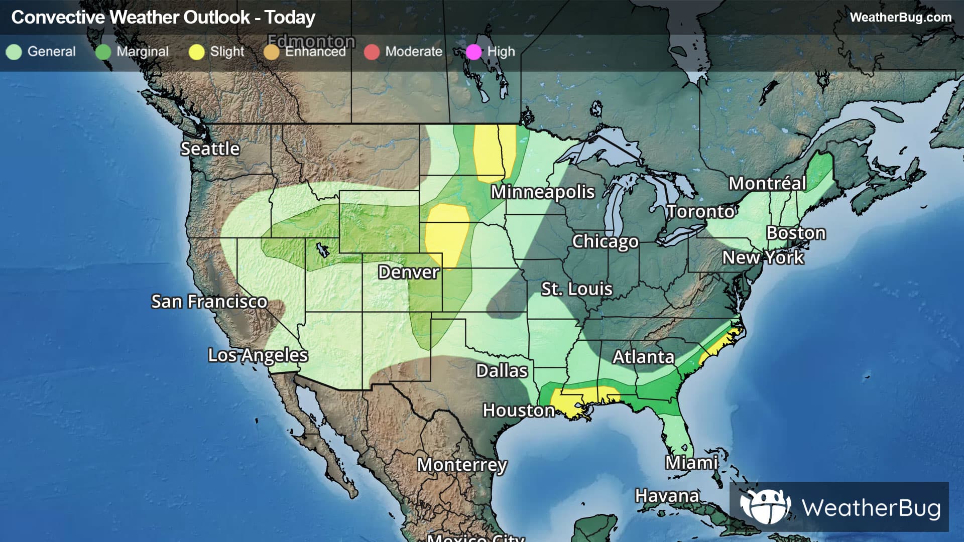
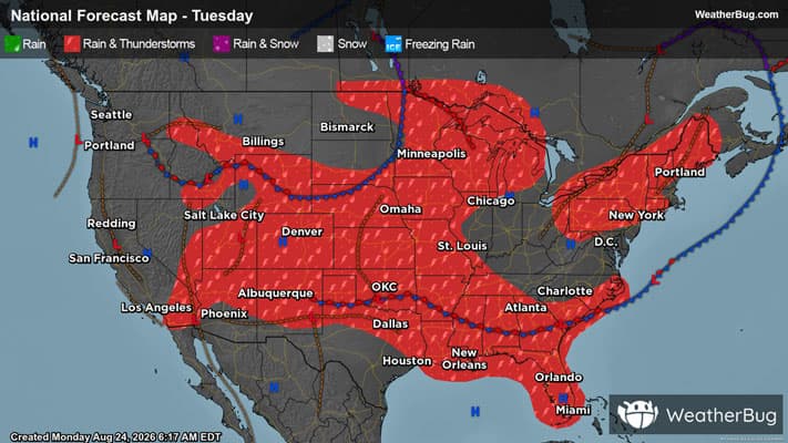
There is a Marginal Severe Storm Risk for your location. Continue reading for today's outlook from the National Weather Service's Storm Prediction Center.
--------------------
National Severe Storm Outlook
THERE IS A SLIGHT RISK OF SEVERE THUNDERSTORMS ACROSS PARTS OF THE NORTHERN PLAINS/UPPER MIDWEST...EASTERN IDAHO...CENTRAL HIGH PLAINS...LOWER MISSISSIPPI RIVER VALLEY/CENTRAL GULF COAST...AND COASTAL CAROLINAS
SUMMARY
Severe thunderstorms capable of producing large hail and severe wind gusts will be possible this afternoon and evening across parts of the Upper Midwest as well as the central High Plains. Other severe thunderstorms with mainly a damaging wind threat are possible across the central Gulf Coast, eastern Idaho, and coastal Carolinas.
Northern Great Basin
A targeted upgrade to a Level 2/Slight risk was introduced for portions of eastern Idaho where the latest HRRR/RRFS runs and TLE probabilities suggest a corridor of locally greater damaging/severe wind gust coverage may materialize in association with developing convection across southern Idaho given a favorable thermodynamic environment. Similarly, the 5% wind probability and CIG1 areas have also been expanded across adjacent areas of the northern Great Basin given the potential for high-based, loosely-organized convective clusters to produce isolated damaging/severe wind gusts. See MCD 2115 for additional short-term details.
Elsewhere, the forecast remains generally on track with only minor adjustments made to the existing outlook. See the discussion below and MCDs 2116 and 2117 for additional short-term details.