# HEADLINE
--------------------
RED FLAG WARNING REMAINS IN EFFECT FROM NOON TODAY TO 8 PM MDT THIS EVENING
# DETAILS
--------------------
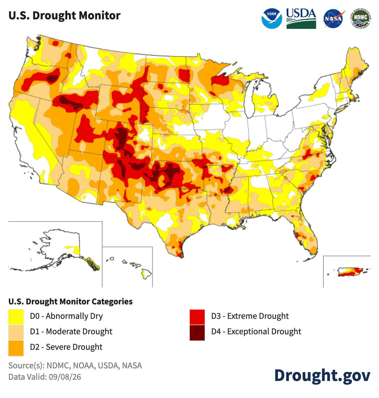
AFFECTED AREA: IN CENTRAL WY FIRE ZONES
280...283...289...300. In Southwest WY Fire Zone....279.
COUNTIES AFFECTED: IN CENTRAL WY
- Fremont...Natrona. In Southwest WY...Sweetwater.
- IMPACTS: Low Humidities and Strong Gusty Winds could cause erratic fire behavior.
- WIND: West 20 to 30 mph with gusts up to 45 mph.
- HUMIDITY: As low as 10 to 15 percent.
ISSUED AT
Monday, September 14, 2026 at 2:51 AM MDT
ISSUED BY
National Weather Service Riverton WY
HEADER
URGENT - FIRE WEATHER MESSAGE
# PRECAUTIONARY/PREPAREDNESS ACTIONS
--------------------
A Red Flag Warning means that critical fire weather conditions are either occurring now....or will shortly. A combination of strong winds...low relative humidity...and warm temperatures can contribute to extreme fire behavior.
# AREAS AFFECTED
--------------------
Granite/Green/Ferris/Rattlesnake Mountains, Natrona County/Casper BLM, Casper Mountain, Sweetwater County/Rock Springs BLM/Flaming Gorge NRA, Upper Wind River Basin/Wind River Basin