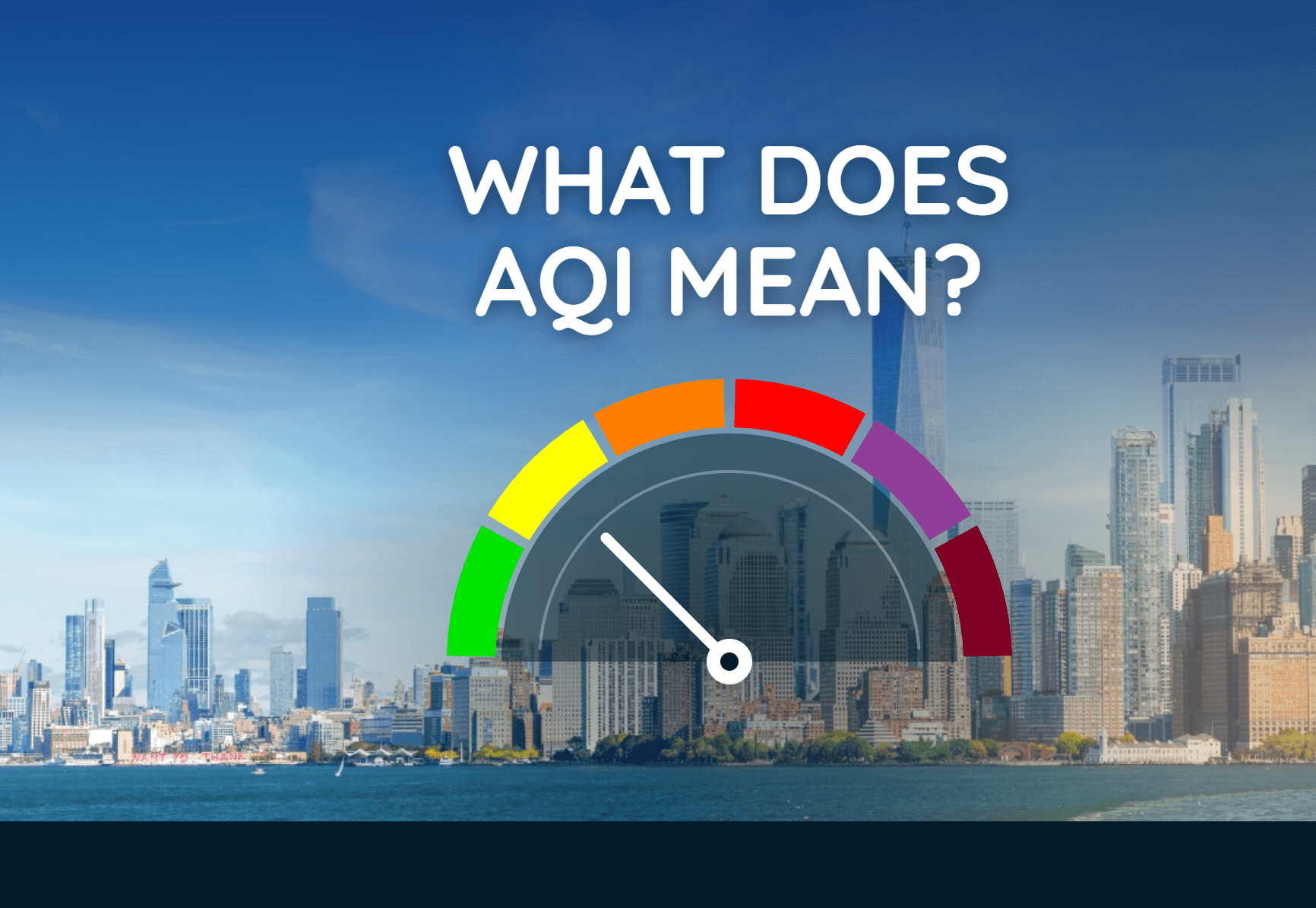
What Does AQI Mean? How to Read Air Quality Levels
The Air Quality Index turns pollution data into a simple number and color that can help you decide when to adjust outdoor plans.
Read More
# HEADLINE -------------------- COASTAL FLOOD ADVISORY NOW IN EFFECT UNTIL 7 PM EST TUESDAY HIGH SURF ADVISORY REMAINS IN EFFECT UNTIL 7 AM EST THIS MORNING HIGH RIP CURRENT RISK REMAINS IN EFFECT THROUGH TUESDAY EVENING # DETAILS -------------------- WHAT Minor to Moderate coastal flooding, large breaking waves of 6 to 7 feet in the surf zone, and dangerous rip currents. WHERE Coastal Palm Beach County and Coastal Broward County. WHEN Through Tuesday for the Coastal Flood Advisory and High Rip Current Risk, and through this morning for the High Surf Advisory. IMPACTS Flooding of lots, parks, and roads with only isolated road closures expected. Dangerous swimming and surfing conditions and localized beach erosion. Rip currents can sweep even the best swimmers away from shore into deeper water. ISSUED AT Monday, November 2, 2026 at 1:41 AM EST ISSUED BY National Weather Service Miami FL HEADER Coastal Hazard Message # PRECAUTIONARY/PREPAREDNESS ACTIONS -------------------- If travel is required, allow extra time as some roads may be closed. Do not drive around barricades or through water of unknown depth. Take the necessary actions to protect flood-prone property. Inexperienced swimmers should remain out of the water due to dangerous surf conditions. Swim near a lifeguard. If caught in a rip current, relax and float. Don't swim against the current. If able, swim in a direction following the shoreline. If unable to escape, face the shore and call or wave for help. # AREAS AFFECTED -------------------- Coastal Broward County, Coastal Palm Beach County
# HEADLINE -------------------- COASTAL FLOOD ADVISORY NOW IN EFFECT UNTIL 7 PM EST TUESDAY HIGH SURF ADVISORY REMAINS IN EFFECT UNTIL 7 AM EST THIS MORNING HIGH RIP CURRENT RISK REMAINS IN EFFECT THROUGH TUESDAY EVENING # DETAILS -------------------- WHAT Minor to Moderate coastal flooding, large breaking waves of 6 to 7 feet in the surf zone, and dangerous rip currents. WHERE Coastal Palm Beach County and Coastal Broward County. WHEN Through Tuesday for the Coastal Flood Advisory and High Rip Current Risk, and through this morning for the High Surf Advisory. IMPACTS Flooding of lots, parks, and roads with only isolated road closures expected. Dangerous swimming and surfing conditions and localized beach erosion. Rip currents can sweep even the best swimmers away from shore into deeper water. ISSUED AT Monday, November 2, 2026 at 1:41 AM EST ISSUED BY National Weather Service Miami FL HEADER Coastal Hazard Message # PRECAUTIONARY/PREPAREDNESS ACTIONS -------------------- If travel is required, allow extra time as some roads may be closed. Do not drive around barricades or through water of unknown depth. Take the necessary actions to protect flood-prone property. Inexperienced swimmers should remain out of the water due to dangerous surf conditions. Swim near a lifeguard. If caught in a rip current, relax and float. Don't swim against the current. If able, swim in a direction following the shoreline. If unable to escape, face the shore and call or wave for help. # AREAS AFFECTED -------------------- Coastal Broward County, Coastal Palm Beach County
# HEADLINE -------------------- FLOOD WATCH NOW IN EFFECT THROUGH MONDAY EVENING # SUMMARY -------------------- .An upper level low will will continue to influence storms in the Gulf and Bahamas through Monday. With the lack of a strong synoptic surface forcing mechanism, predictability as to where and when heavy rain will fall remains low. However, the environment continues to support the potential for heavy rainfall and slow moving cells. # DETAILS -------------------- WHAT Heavy rain may cause, or worsen ongoing urban and street flooding. WHERE All of South Florida WHEN Through Monday evening. IMPACTS Isolated to scattered areas of flash flooding will be possible, with the main impact being street flooding, road closures, and limited impact to structures in flood prone areas. ADDITIONAL DETAILS - Pockets of very heavy rainfall resulted in localized flash flooding on Sunday and those areas, and others, have the potential to be impacted again on Monday. Forecast amounts look very similar to yesterday, with common amounts of 1 to 3 inches where showers and storms occur. Scattered locations around south Florida may see closer to 3 to 5 inches of rain. The more isolated high end amounts have the potential to peak around 6 to 9 inches. These amounts could accumulate rather quickly, on the order of 2 to 4 hours. - http://www.weather.gov/safety/flood ISSUED AT Sunday, November 1, 2026 at 11:59 PM EST ISSUED BY National Weather Service Miami FL HEADER URGENT - IMMEDIATE BROADCAST REQUESTED | Flood Watch # PRECAUTIONARY/PREPAREDNESS ACTIONS -------------------- You should monitor later forecasts and be alert for possible Flood Warnings. Those living in areas prone to flooding should be prepared to take action should flooding develop. # AREAS AFFECTED -------------------- Inland Broward County, Coastal Broward County, Coastal Miami Dade County, Coastal Palm Beach County, Dade County, Dade County, Far South Miami, Glades, Hendry, Inland Miami, Inland Palm Beach County, Metro Broward County, Metro Palm Beach County, Metropolitan Miami Dade Including the cities of Shark Valley Obs Tower, Palmdale, The Acreage, Lake Worth, Pompano Beach, Felda, Hendry Correctional, Boca Raton, Royal Palm Beach, Sunrise, Clewiston, Pembroke Pines, Wellington, Florida Gardens, Coral Springs, Miami, Greenacres City, Palm Beach Gardens, West Palm Beach, Brighton Seminole, Lakeport, Pa-Hay Okee Overlook, Moore Haven, Muse, Belle Glade, Ortona, Royal Palm Ranger, Lion Country Safari Park, Hialeah, Miccosukee Indian Reservation, Miramar, Riviera Beach, Kendall, Boynton Beach, Delray Beach, Kendale Lakes, Sawgrass Mills Mal, Redland, Deerfield Beach, Sandalfoot Cove, Carol City, Buckhead Ridge, Mahogany Hammock, Hollywood, Fort Lauderdale, Florida City, Caloosa, Jupiter, Fortymile Bend, and Davie
Closest strike: 25.87 miles Monitor Storms You are not at immediate risk, but frequently check WeatherBug to see if storms are moving towards you. Be aware that new storms can also form with little notice.
The Air Quality Index turns pollution data into a simple number and color that can help you decide when to adjust outdoor plans.