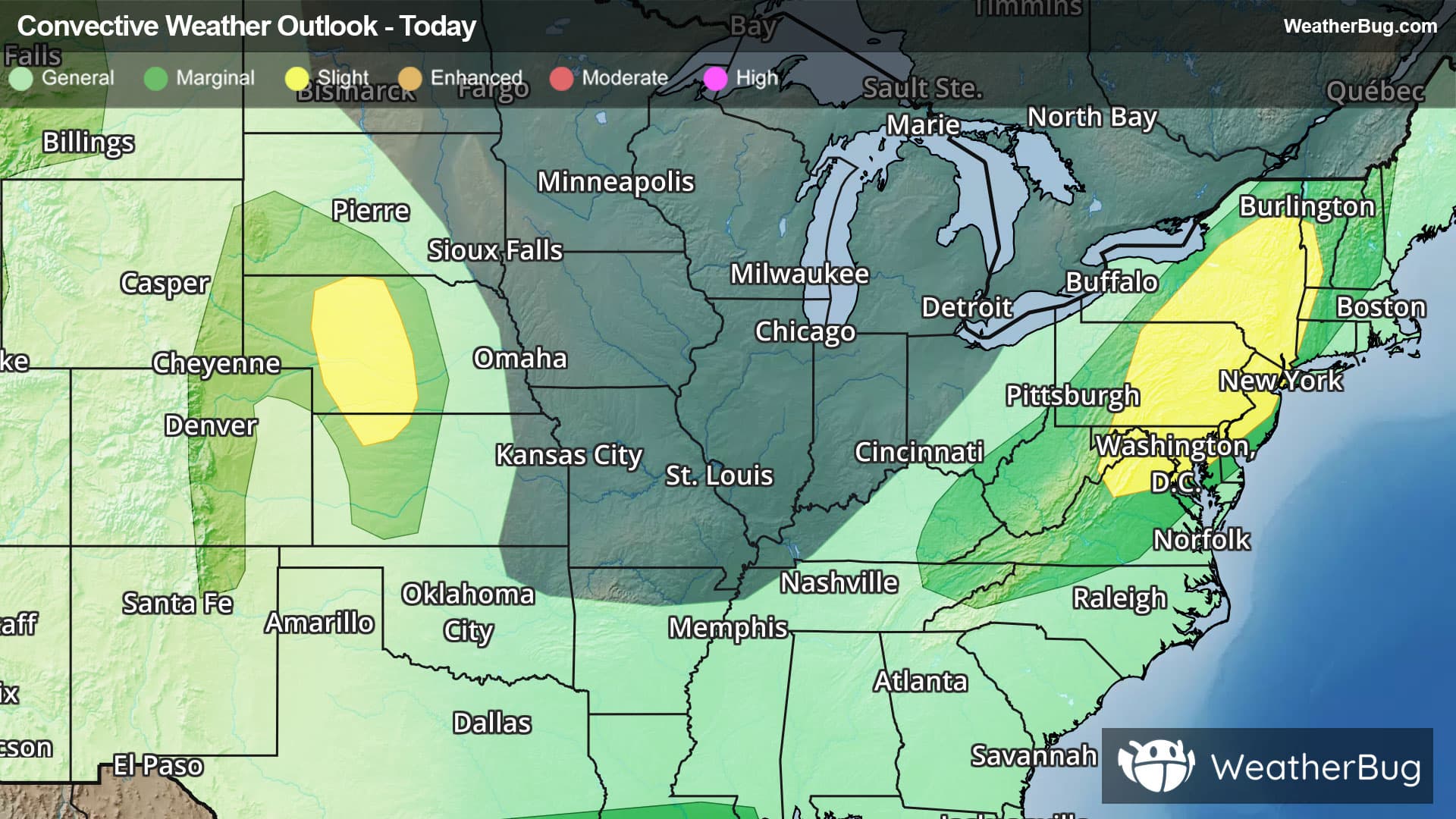
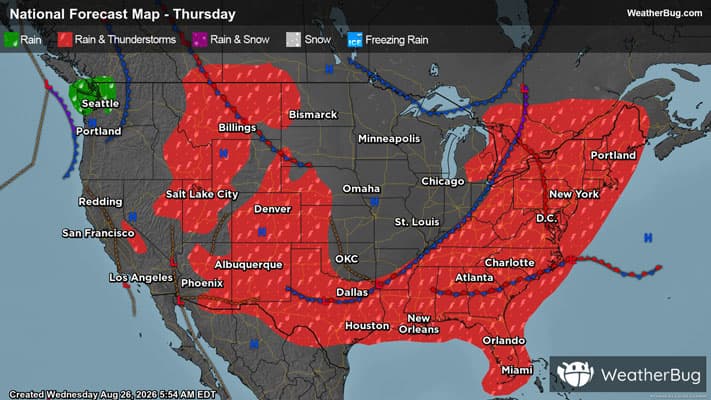
There is a Slight Severe Storm Risk for your location. Continue reading for today's outlook from the National Weather Service's Storm Prediction Center.
--------------------
National Severe Storm Outlook
THERE IS A SLIGHT RISK OF SEVERE THUNDERSTORMS FOR PARTS OF THE CENTRAL HIGH PLAINS...AND ALSO FROM THE ARKLATEX TO THE ARKLAMISS REGIONS
SUMMARY
Isolated to widely scattered strong to severe thunderstorms remain possible tonight across parts of the central and southern High Plains, parts of Arkansas into the lower Mississippi Valley, and parts of the Midwest and Ohio Valley.
Central/southern High Plains
Widely scattered strong to severe storms are ongoing this evening across parts of the central/southern High Plains. The most favorable environment resides from eastern CO into western KS, with moderate buoyancy and effective shear of 30-40 kt within a northwesterly flow regime. The strongest discrete cells in this area will continue to pose a threat of hail and localized severe gusts. Some modest clustering remains possible with time, which could result in at least an isolated severe-wind threat as convection spreads into western KS later tonight.
Deep-layer flow/shear is generally weaker across the southern High Plains, but localized strong to severe gusts will remain possible within the well-mixed environment through at least dusk.
AR into the Lower MS Valley
Widespread deep convection from southeastern OK into central/southern AR may eventually evolve into a loosely organized, outflow-driven cluster with time this evening. This could result in a threat for scattered wind damage spreading into northern LA through the evening, with an isolated threat possible later tonight as storms approach the LA/MS Gulf Coasts.
Midwest/Ohio Valley
Scattered storms are ongoing from parts of Lower MI into parts of the Midwest/Ohio Valley. The combination of moderate buoyancy and marginal deep-layer shear (generally 25-35 kt of effective shear) has only been supportive of an isolated severe threat thus far. No substantial improvement in the environment is expected through the evening, but ongoing storms may continue to pose an isolated severe threat before convection generally subsides later tonight.