Severe Storm Risk - Eagle, ID
Severe Storm Risk
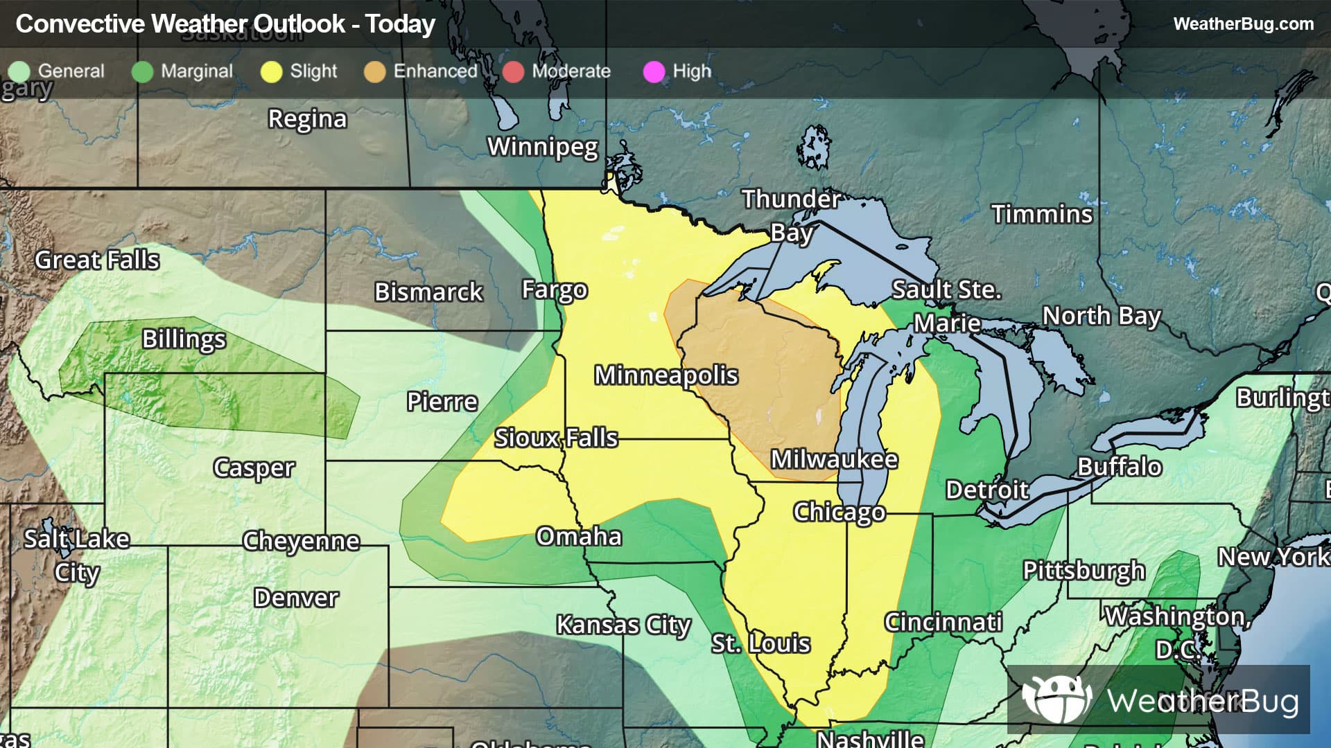
-There is a Slight Severe Storm Risk for your location. Continue reading for today's outlook from the National Weather Service's Storm Prediction Center. -------------------- National Severe Storm Outlook THERE IS A SLIGHT RISK OF SEVERE THUNDERSTORMS THIS AFTERNOON AND EVENING FROM WESTERN IDAHO INTO WESTERN AND CENTRAL WASHINGTON/OREGON SUMMARY Scattered severe thunderstorms are possible this afternoon and evening over western Idaho and east of the Cascades in Washington and Oregon, capable of damaging gusts, large hail, and perhaps a tornado. WA/OR/ID Morning water vapor imagery shows an upper low over central CA, with a strong shortwave trough rotating around the low over central NV. This feature is forecast to move into ID/OR later today, with an associated 40-50 knot mid level jet affecting the area. Strong heating, dewpoints in the upper 40s-lower 50s, and steepening mid-level lapse rates will lead to moderate CAPE values over much of western ID into central WA/OR, setting the stage for afternoon thunderstorms. Activity is expected to first develop across southwest ID/southern OR, where sufficient vertical shear would support supercell structures capable of large hail and damaging wind gusts. Morning CAM guidance suggests activity will organize into multiple clusters by evening, tracking northwestward across the Columbia Basin into western/central WA. These storms would continue to pose a damaging wind threat. CO Strong heating and sufficient low-level moisture will likely result in widely scattered thunderstorms in the foothills of the Front Range this afternoon. The strongest cells could produce hail. KS A remnant weak vorticity max is tracking northward near the OK/KS border. Southeasterly low-level winds to the north of the vort max may result in sufficient shear for weak rotation in a few storms later today. While a brief spin-up over north-central KS cannot be ruled out, the overall threat appears too weak for outlook probabilities today.