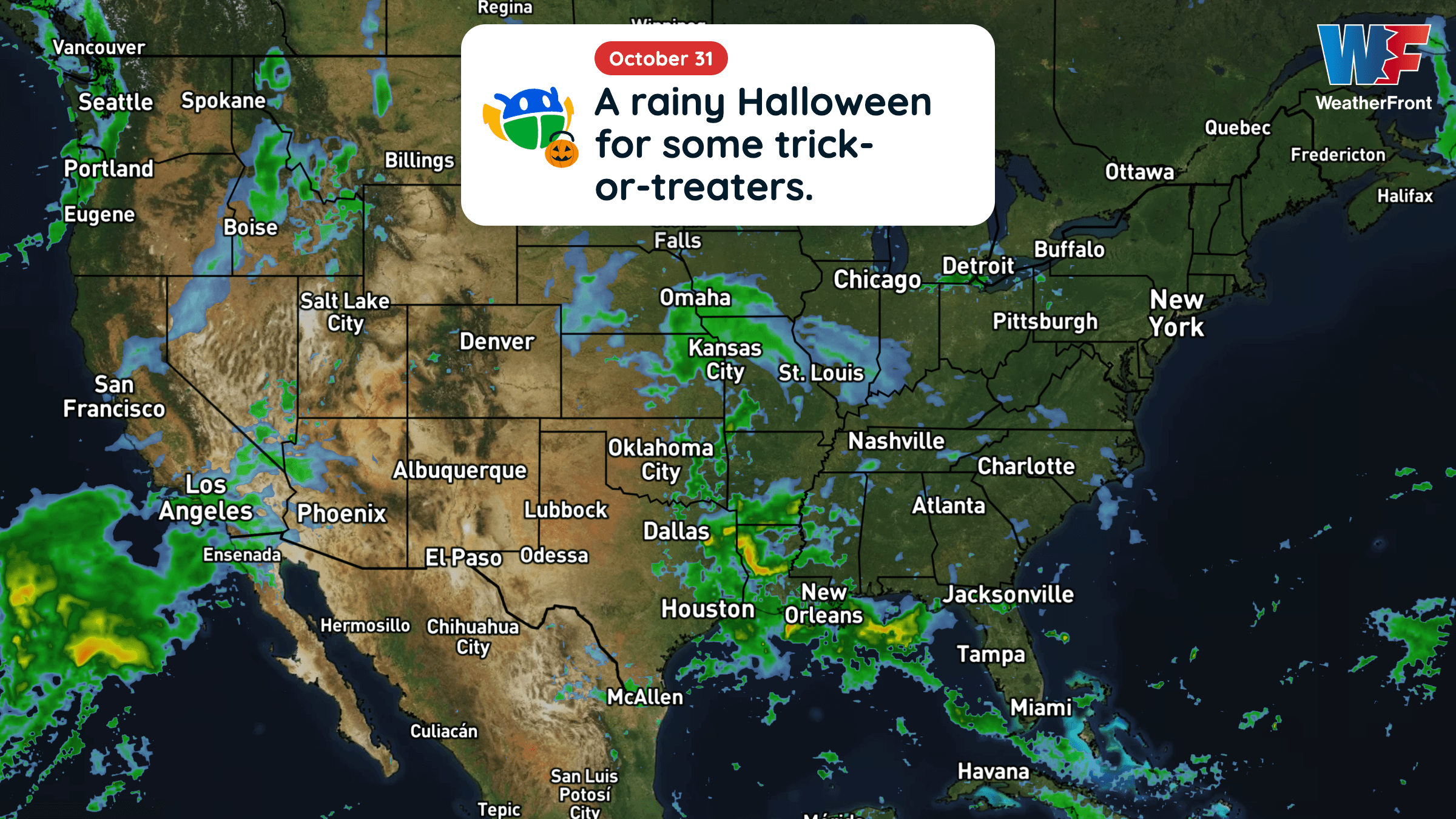
There is a Enhanced Severe Storm Risk for your location. Continue reading for today's outlook from the National Weather Service's Storm Prediction Center.
--------------------
National Severe Storm Outlook
THERE IS AN ENHANCED RISK OF SEVERE THUNDERSTORMS ACROSS NORTH-CENTRAL OKLAHOMA AND SOUTH-CENTRAL KANSAS
SUMMARY
Severe thunderstorms with damaging wind gusts, hail, and a few tornadoes are expected across parts of the southern and central Plains from this afternoon into tonight.
20Z Update
A potent shortwave trough evident in water vapor satellite imagery is beginning to take on a neutral-to-negative tilt, as the trough and its associated jet streak progresses eastward out of New Mexico into the Texas Panhandle. In advance of this shortwave, deepening cumulus and thunderstorm development in response to the approaching wave are evident on visible satellite and radar imagery. As better moisture is transported northward ahead of this development and a narrow corridor of mixing further destabilizes the environment, these (and subsequent) thunderstorms are expected to become severe. Storms should initially favor a supercell mode before growing upscale into linear convective complexes.
The Enhanced Risk for tornadoes was expanded south and west into portions of Central Oklahoma to account for recent observational trends and short-term forecast guidance, while hail probabilities were expanded further north and east to account for ongoing elevated convection capable of 1.00-1.50 inch hail. Greater uncertainty exists in where the primary corridor of damaging wind potential will materialize, but leading edge bowing segments will be capable of 65-80 MPH damaging wind gusts.