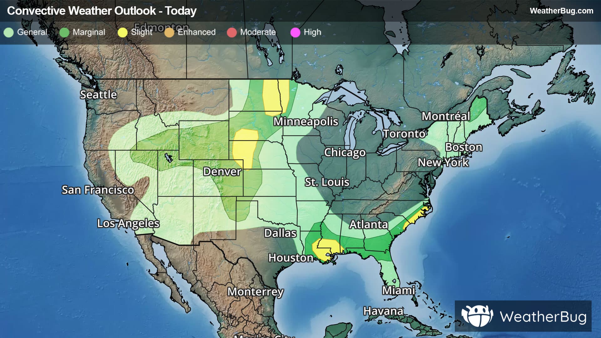
There is a Marginal Severe Storm Risk for your location. Continue reading for today's outlook from the National Weather Service's Storm Prediction Center.
--------------------
National Severe Storm Outlook
THERE IS A SLIGHT RISK OF SEVERE THUNDERSTORMS ACROSS THE NORTHERN HIGH PLAINS AND GREAT BASIN
SUMMARY
Thunderstorms capable of large hail and severe-caliber wind gusts will continue this evening across eastern Montana and the western Dakotas, with other severe storms capable of wind gusts across the Great Basin.
01z Update
Primary severe-weather corridor this evening will persist across east/northeast Montana to portions of the western Dakotas, but likely on a more marginal/isolated basis by the overnight.
Other wind-producing storms will remain a possibility over the next couple of hours in areas such as northern Utah/far southeast Idaho, as well as southern Arizona.
A couple of severe storms will remain a possibility this evening across northeast Ohio into northwest Pennsylvania. See Mesoscale Discussion 2108 for additional details.
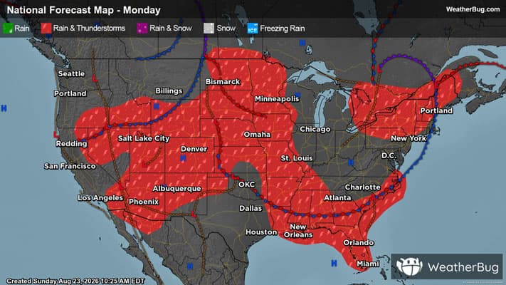
Later tonight, a modest increase in isentropic ascent associated with a south-southwesterly low-level jet may aid thunderstorm development late tonight and early Monday morning across parts of northeast Oklahoma and southeast Kansas to the Ozarks. Overall instability is expected to remain fairly weak (MUCAPE generally less than 1000 J/kg), but some clustering may occur with a low chance for localized severe wind gusts.