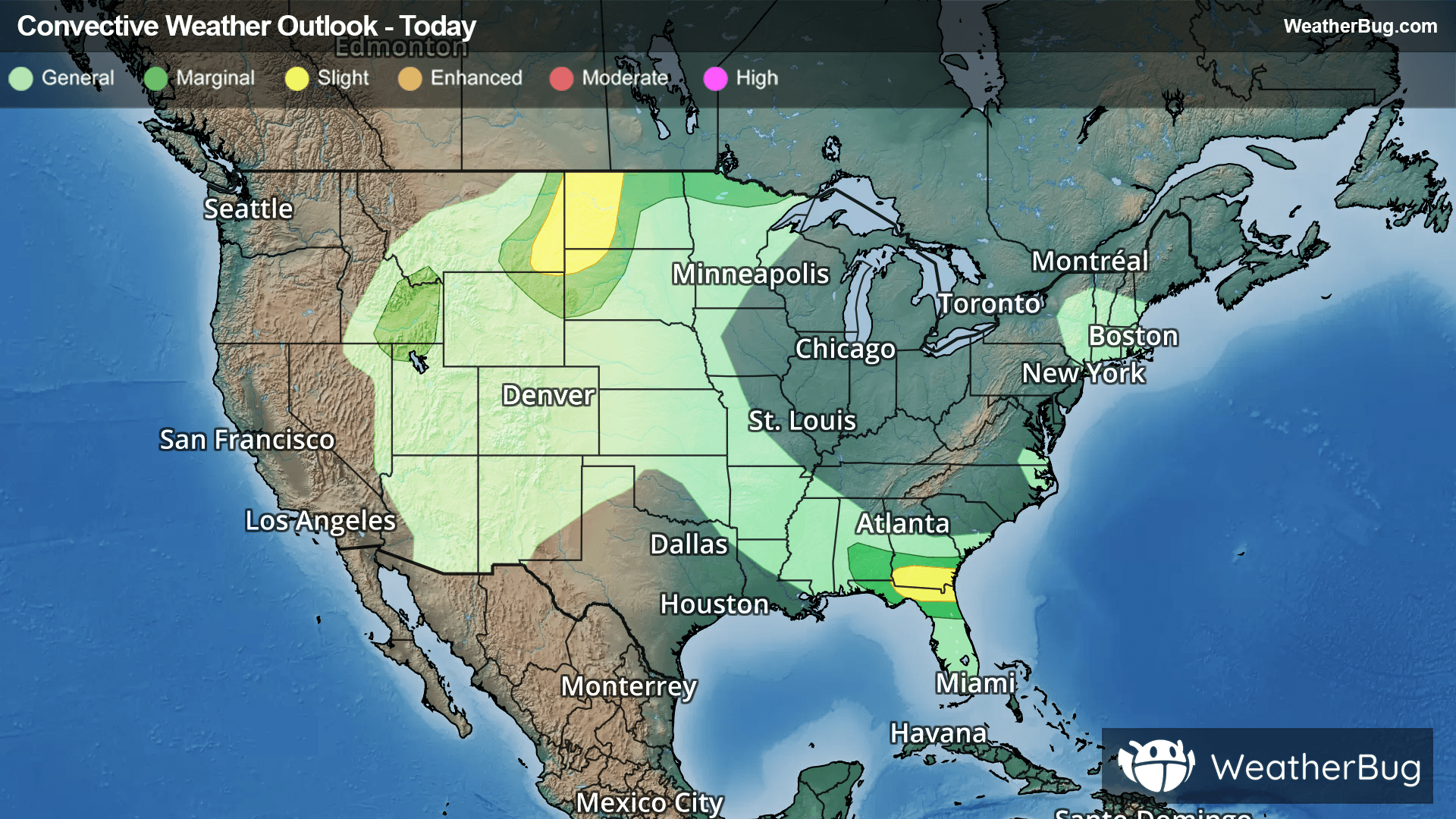
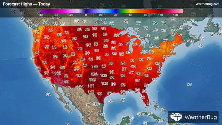
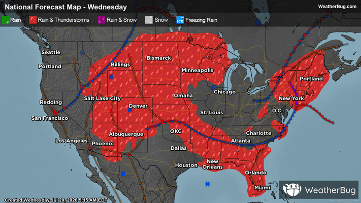
There is a Slight Severe Storm Risk for your location. Continue reading for today's outlook from the National Weather Service's Storm Prediction Center.
--------------------
National Severe Storm Outlook
THERE IS A SLIGHT RISK OF SEVERE THUNDERSTORMS THIS AFTERNOON AND EVENING OVER PARTS OF THE SOUTHEAST STATES AND NORTHERN HIGH PLAINS
SUMMARY
Thunderstorms with severe wind gusts and hail will be possible this afternoon and evening in the northern Plains. Severe wind gusts will also be possible today across southern Georgia and northern Florida, as well as the Great Basin/northern Intermountain West.
GA/FL
Latest surface analysis shows a weak cold front sagging southward across GA. A very moist and unstable air mass is present along and south of the front, with dewpoints in the mid 70s and full heating expected. This will yield afternoon MLCAPE values over 3000 J/kg and scattered thunderstorm development. Sufficient northwesterly mid-level flow of 15-25 knots will help storms propagate into north FL by early evening. Locally damaging wind gusts will be possible in the stronger cells due to water loading and some momentum transfer. If outflows can congeal, a more organized damaging wind risk could develop late this afternoon and early evening before weakening after dark.
MT/ND
Scattered thunderstorms are expected to develop this afternoon along a weak surface boundary near the MT/ND border. These storms will be in a hot and moderately unstable air mass with MLCAPE around 2000 J/kg. As this activity spreads northeastward across western ND, the combination of a deep sub-cloud layer, steep low-level lapse rates, and sufficient flow aloft will pose the risk of damaging wind gusts.