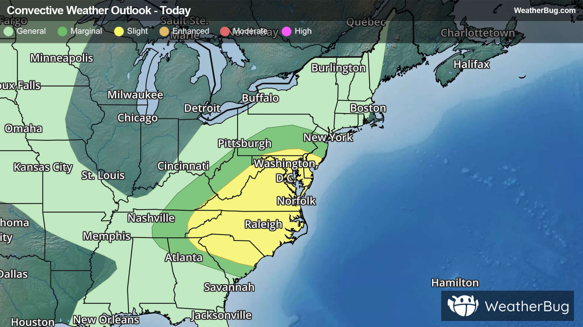
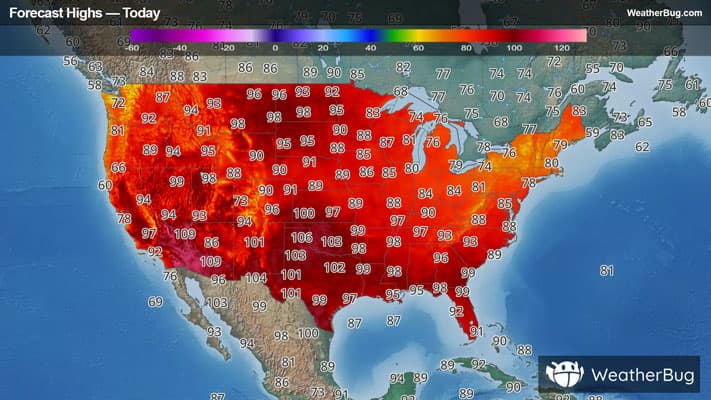
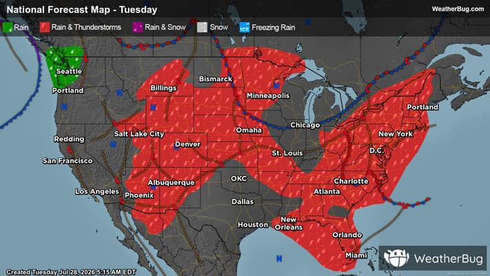
There is a Marginal Severe Storm Risk for your location. Continue reading for today's outlook from the National Weather Service's Storm Prediction Center.
--------------------
National Severe Storm Outlook
THERE IS A SLIGHT RISK OF SEVERE THUNDERSTORMS ACROSS PARTS OF THE MID-ATLATIC AND CAROLINAS
SUMMARY
Thunderstorms with potential for severe wind gusts and a tornado threat are expected today from parts of the Mid-Atlantic southward into the Carolinas. A few severe gusts and hail may also occur over parts of the central High Plains.
Mid-Atlantic/Carolinas
An upper-level trough will dig south-southeastward into the eastern U.S. today, as an associated cold front moves into the central Appalachians. Ahead of the front, a moist and unstable airmass will be in place from the Mid-Atlantic southward into the Carolinas. Surface dewpoints in the lower to mid 70s F will contribute to moderate instability by afternoon over much of the region. Convection is expected to first develop around midday in the higher terrain of northern Virginia and Pennsylvania. These storms are forecast to expand in coverage, moving southward through the remainder of Virginia into North Carolina during the afternoon.
The strongest instability is forecast from southeastern Virginia into central North Carolina, where MLCAPE could peak around 3000 J/kg. RAP forecast soundings near the instability axis suggest that 0-6 km shear will be in the 40 to 50 knot range, supportive of supercells. In addition, 0-3 km storm-relative helicity is forecast to reach near 225 m2/s2 by mid afternoon, with the low-level shear being amplified by the directional component. This should support an isolated tornado threat with supercells. Supercells and organized multicell line segments will also be capable of severe wind gusts. The potential for severe gusts could extend further west into the foothills of the Appalachians across west-central North Carolina and far northern South Carolina.
Central High Plains
A mid-level ridge will be in place today across the High Plains, as a subtle shortwave trough moves eastward through the ridge. This feature along with topographic ascent will support scattered convective development during the afternoon. Thunderstorms will form in the higher terrain and move eastward into the lower elevations. Ahead of the storms, RAP forecast soundings at 21Z have MLCAPE in the 2000 to 2500 J/kg range with 0-6 km shear around 30 knots. This, combined with steep low-level lapse rates and surface-temperature dewpoint spreads near 30 degrees F should support a potential for isolated severe wind gusts. Hail will also be possible with the stronger cells.