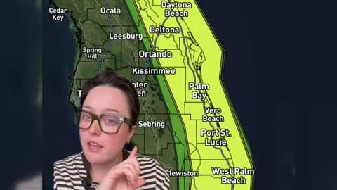
There is a Marginal Severe Storm Risk for your location. Continue reading for today's outlook from the National Weather Service's Storm Prediction Center.
--------------------
National Severe Storm Outlook
THERE IS A MARGINAL RISK OF SEVERE THUNDERSTORMS THIS AFTERNOON AND EVENING OVER PARTS OF SOUTH TEXAS
SUMMARY
Strong to locally severe storms are possible across parts of South Texas, mainly during the afternoon and early evening.
South TX
A large upper trough is moving eastward across the Plains states today, with an expansive surface cold front sagging across TX and the lower MS Valley. Ahead of the front, dewpoints in the 60s and strong daytime heating will yield an axis of CAPE from south TX into parts of LA/AR. The greatest instability will reside over south TX, where ~2000 J/kg of MLCAPE will promote the development of a few afternoon thunderstorms capable of hail and gusty winds. The activity will move offshore after dark, ending the threat.
Southern AR
Farther north, another cluster of thunderstorms may pose a localized risk of hail or gusty winds over southern AR/northern LA. However very minimal instability suggests the severe threat here is below MRGL thresholds.