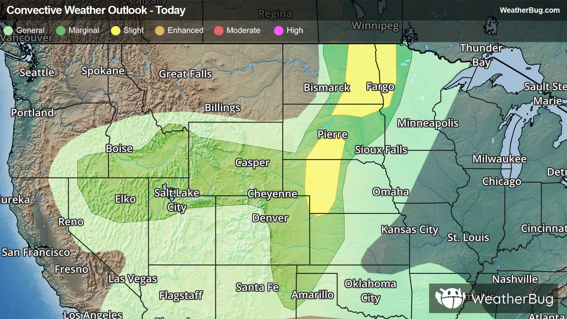
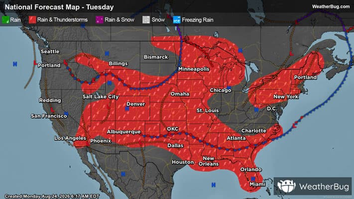
There is a Slight Severe Storm Risk for your location. Continue reading for today's outlook from the National Weather Service's Storm Prediction Center.
--------------------
National Severe Storm Outlook
THERE IS A SLIGHT RISK OF SEVERE THUNDERSTORMS ACROSS THE NORTHERN PLAINS AND CENTRAL HIGH PLAINS
SUMMARY
Severe thunderstorms will remain possible this evening across eastern North Dakota/northwest Minnesota, as well as central South Dakota and western Nebraska, with large hail and damaging winds the primary hazards.
Northern Plains/Upper Midwest and central High Plains
Scattered severe thunderstorms including a few supercells will continue across central South Dakota into northern Nebraska, and possibly west-central Nebraska within a zone of 60s F surface dewpoints and moderate instability ahead of a front and near a southward-extending pre-frontal trough. Large hail and damaging winds will remain possible this evening as storms persist southeastward.
Somewhat richer low-level moisture exists ahead of the front across north-central/northeast South Dakota into eastern North Dakota where scattered severe storms continue this evening. 00z observed soundings from Aberdeen and Bismarck sampled effective shear around 40 kt with 2000-2500 J/kg MLCAPE and steep mid-level lapse rates. Supercells will remain possible in the short-term, but a modest degree of upscale growth may occur as storms further cluster and progress southeastward with continued hail/wind potential at least through the evening.
Northern Great Basin/north-central Rockies
A few stronger storms capable of gusty/potentially severe-caliber wind gusts will remain a possibility over the next hour or two this evening, with storm updraft/downdraft intensity expected to diminish thereafter.