There is a Slight Severe Storm Risk for your location. Continue reading for today's outlook from the National Weather Service's Storm Prediction Center.
--------------------
National Severe Storm Outlook
THERE IS A SLIGHT RISK OF SEVERE THUNDERSTORMS ACROSS PARTS OF THE MID-ATLANTIC INTO SOUTHERN NEW ENGLAND
SUMMARY
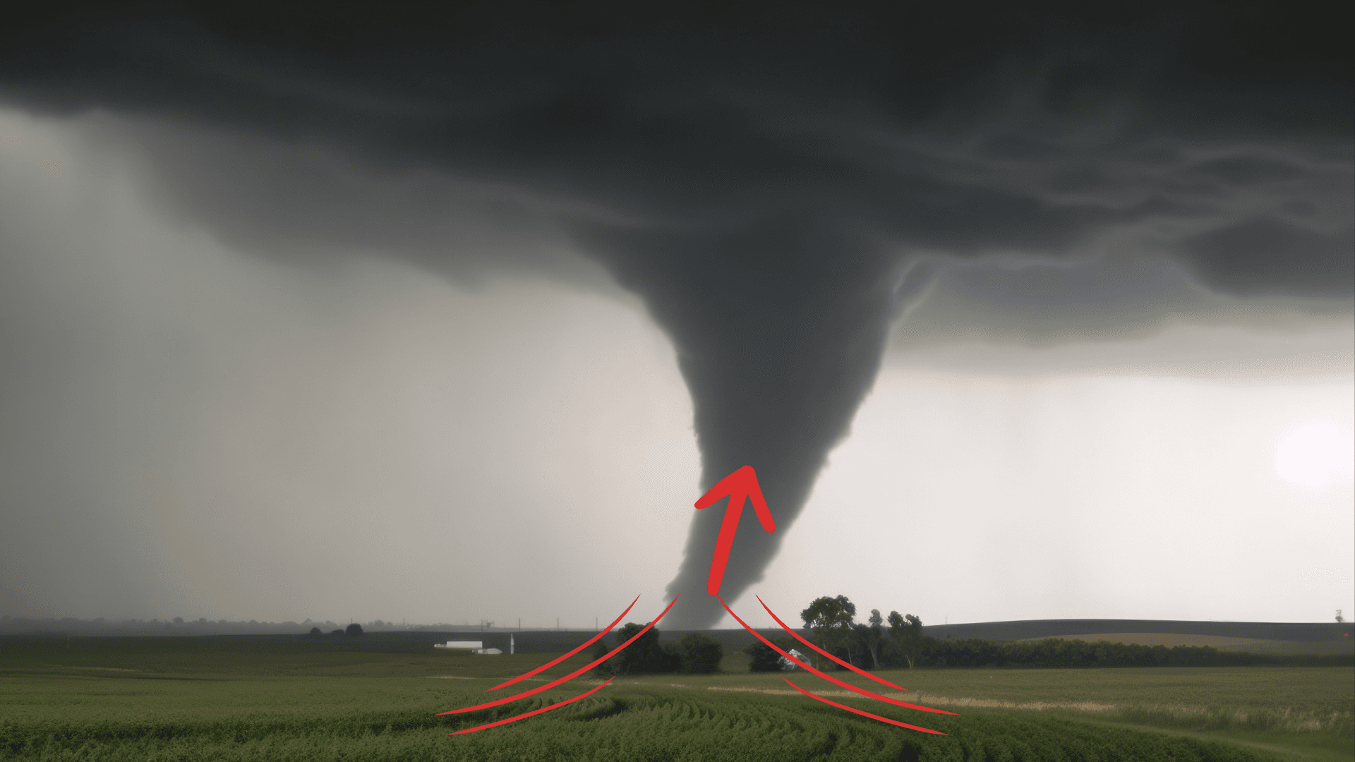
Thunderstorms capable of producing damaging winds and perhaps a tornado or two are expected across parts of the Mid-Atlantic into southern New England, mainly this afternoon and early evening.
Mid-Atlantic into Southern New England
Recent water vapor satellite imagery shows a prominent and positively tilted upper trough extending from eastern Canada into the Upper Midwest. This upper trough will advance eastward while amplifying over the eastern CONUS through the period, with enhanced west-southwesterly low/mid-level flow expected to overspread much of the Mid-Atlantic and Northeast. A related surface low over southern Ontario will develop east-northeastward today into southern Quebec, as a trailing cold front sweeps east-southeastward across the eastern states. Low-level moisture is forecast to gradually increase ahead of the front through the afternoon, and MLCAPE should gradually increase into the 500-1000 J/kg range with filtered daytime heating. But, lapse rates through low/mid levels are likely to remain quite poor (reference BUF/PIT/IAD 12Z observed soundings). This should temper overall updraft strength to some extent, and low-topped convection which develops along/near the front may produce little lighting, especially with northward extent into southern New England.
Even with the potential thermodynamic limitations, favorable deep-layer shear will support some updraft organization. Given the strength of the low/mid-level flow, isolated strong/gusty winds may occur this morning with ongoing convection along/near the front across western PA/NY, even though instability remains very limited. Latest short-term guidance continues to suggest that a low-topped convective line will further develop across central into eastern PA and southern NY by 17-21Z. Convectively augmented wind gusts capable of producing scattered damaging winds will likely be the main severe risk as this activity spreads quickly eastward across the northern Mid-Atlantic and southern New England through early evening. The greatest coverage of damaging winds should focus across parts of eastern PA into NJ and southern NY, where locally greater instability is forecast.
The potential for line-embedded mesocirculations is less clear. While some low-level shear will be present, the enhanced low-level flow is forecast to gradually veer to west-southwesterly through the afternoon/evening, which may reduce effective SRH somewhat. Still, at least an isolated threat for damaging winds and perhaps a tornado should spread towards the coast before convection weakens this evening due to marine layer influences and nocturnal cooling. Overall, the ongoing forecast aligns reasonably well with recent short-term guidance/observational trends, and therefore only minor changes have been made to severe probabilities with this update.