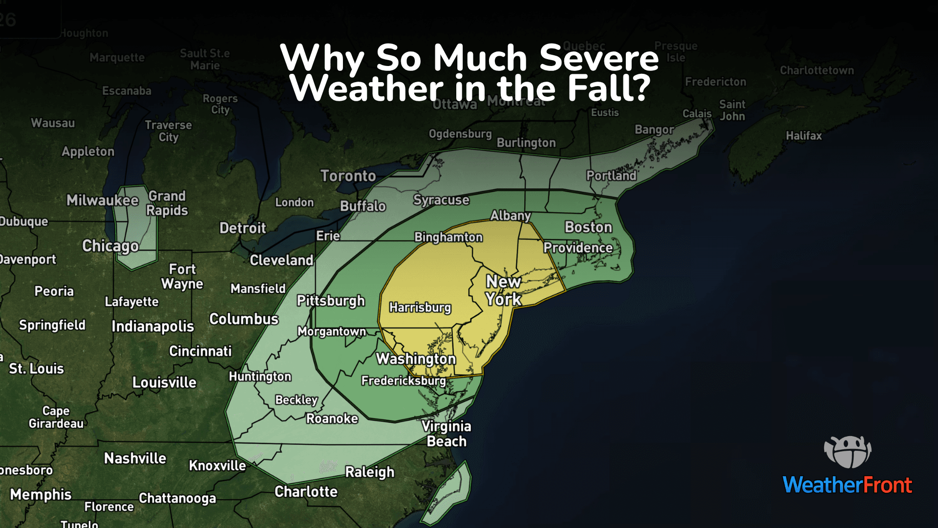
There is a Marginal Severe Storm Risk for your location. Continue reading for today's outlook from the National Weather Service's Storm Prediction Center.
--------------------
National Severe Storm Outlook
THERE IS A SLIGHT RISK OF SEVERE THUNDERSTORMS ACROSS ARIZONA/WESTERN NEW MEXICO AND THE FOUR CORNERS
SUMMARY
Scattered severe thunderstorms remain possible across the Southwest, with the most intense cells expected across parts of Arizona and western New Mexico this afternoon and evening. Large hail, damaging winds, and a few tornadoes are all possible.
20z Update
Convective coverage has increased across portions of eastern/northeastern Arizona over the past couple of hours, with widely scattered supercell structures noted through the morning/early afternoon via regional radar imagery. Expectations remain generally unchanged regarding the evolution of this convection and the associated severe threat across much of eastern Arizona/western New Mexico and the Four Corners region. Thus, no changes were made to the primary risk area.
Along the periphery, a minor eastward expansion of the existing Level 1/Marginal Risk was made along the central CO/NM border where some low-probability potential for mainly damaging wind gusts may persist farther eastward. Elsewhere, only minor adjustments were made to the General Thunder area, including some trimming along the California coastline to the west of the mid/upper trough axis. See the previous discussion and MCD #2399 for additional information.