There is a Slight Severe Storm Risk for your location. Continue reading for today's outlook from the National Weather Service's Storm Prediction Center.
--------------------
National Severe Storm Outlook
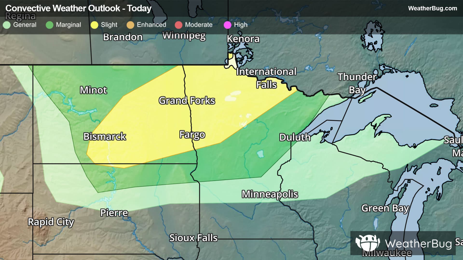
THERE IS A SLIGHT RISK OF SEVERE THUNDERSTORMS ACROSS THE DAKOTAS AND NORTHERN MINNESOTA
SUMMARY
Severe thunderstorms capable of large to very large hail, damaging winds, and a tornado risk are expected this afternoon and evening across portions of North Dakota into northern Minnesota.
Dakotas/northern Minnesota
Within an amplifying upper-level pattern, multiple low-amplitude mid-level shortwave troughs are forecast to move east-southeastward from the northern Rockies toward North Dakota and northern Minnesota through tonight. A surface trough will trail southwestward from a deep surface cyclone that will move from northern Manitoba/Ontario towards Hudson Bay. A plume of relatively steep mid-level lapse rates will overspread a warm and moist boundary layer along/east of the surface trough, with MLCAPE increasing above 2000 J/kg across parts of North Dakota into northern Minnesota by late afternoon. Strengthening mid/upper-level west-northwesterly flow will result in favorable deep-layer shear, resulting in a conditionally favorable environment for severe storms.
Guidance generally suggests that widely scattered storms will develop along the surface trough by late afternoon across eastern North Dakota into northwest Minnesota. Elongated hodographs and favorable instability will favor supercell development, though some clustering will be possible with time during the evening. Large to very large hail will be the primary initial hazard. Some tornado potential will exist with persistent supercells, as low-level shear/SRH gradually increases onto the evening. Any organized clustering could result in localized corridors of greater severe-wind potential. Some severe threat could persist as storms move into a larger portion of northern/central Minnesota through late evening, with a general weakening trend expected overnight due to increasing CINH and weakening buoyancy.
Farther northwest, some guidance depicts isolated supercell development west of the surface trough across the Canadian Prairies during the late afternoon, which could then move into parts of northern/central North Dakota within a northwesterly flow regime.
Coastal Carolinas vicinity
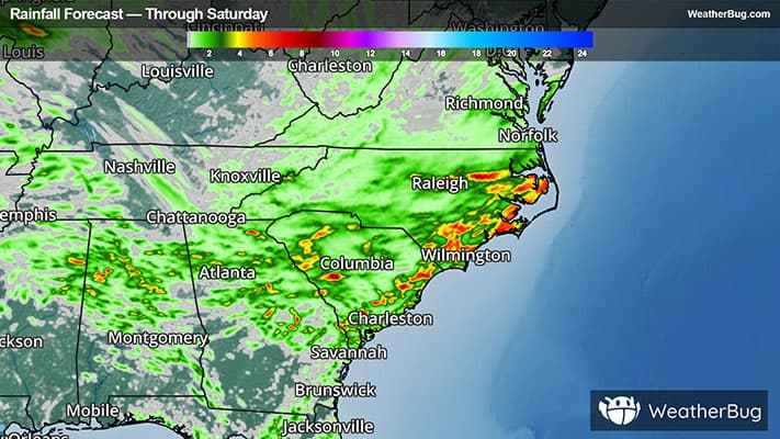
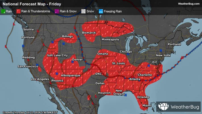
Near/south of a residual front, relatively strong heating of a richly moist airmass (PW above 2 inches) will result in the development of moderate buoyancy across parts of the coastal Carolinas and southeast Georgia. Scattered storm development is expected by early/mid afternoon. Deep-layer flow will generally be weak, but locally damaging downbursts and outflow winds will be possible within the warm and very moist environment.
Southern High Plains vicinity
On the western periphery of residual early day precipitation/cloud cover, a nearly stationary front draped from eastern New Mexico into the Texas Panhandles is expected to become a focus for thunderstorm development by late afternoon and early evening. While deep-layer winds will be weak, strong boundary-layer heating/mixing will support potential for localized downbursts.
Parts of the Great Basin into the Northern Rockies
Widely scattered high-based storm development is expected this afternoon from parts of the Great Basin into the northern Rockies, along the periphery of an amplifying upper ridge over the Four Corners region. Buoyancy and deep-layer shear are both expected to remain weak, but strong to locally severe gusts will be possible within the hot and well-mixed regime. Current thinking is any such severe-caliber wind potential should remain very isolated and somewhat marginal in nature.