There is a Marginal Severe Storm Risk for your location. Continue reading for today's outlook from the National Weather Service's Storm Prediction Center.
--------------------
National Severe Storm Outlook
THERE IS A MARGINAL RISK OF SEVERE THUNDERSTORMS ACROSS PARTS OF THE CAROLINAS AND DESERT SOUTHWEST
SUMMARY
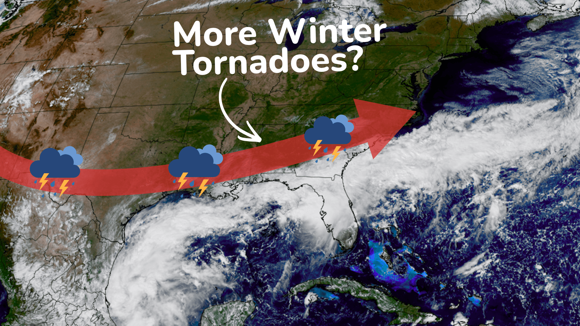
Thunderstorms associated with an isolated tornado threat will be possible this evening across parts of the Carolinas. A few severe wind gusts will also be possible in parts of the Desert Southwest.
Carolinas
The remnants of Isaias will continue to move northward across the Tennessee Valley this evening. In the eastern part of the system, scattered convection with little lightning activity is currently ongoing from eastern Georgia northward into the western Carolinas. This convection is located along and near the axis of a low-level jet. Surface analysis has dewpoints over much of eastern Georgia and southern South Carolina in the 70s F. Within this moist airmass, the RAP has MLCAPE in the 1000 to 1500 J/kg range. In addition, the latest WSR-88D VWP at Columbia, South Carolina has a looped hodograph with 0-3 km storm-relative helicity near 500 m2/s2. This strong low-level shear will support a tornado threat this evening into the overnight with rotating cells that remain semi-discrete, mainly across the eastern half of South Carolina into southern North Carolina.
Desert Southwest
Tropical Storm Rachel, in conjunction with a mid-level shortwave trough, will move toward the northern part of Baja California this evening. Ahead of the system, moisture advection will continue across parts of the Desert Southwest. Over southwestern Arizona, surface dewpoints will continue to increase into the mid to upper 60s F, aiding destabilization this evening with MLCAPE increasing to around 1000 J/kg. In addition, large-scale ascent will increase as the exit region of a mid-level jet overspreads the region. In response to the lift, scattered thunderstorms will likely develop and move northeastward across southern and western Arizona this evening. The mid-level jet will also create moderate to strong deep-layer shear sufficient for isolated severe storms. A few severe wind gusts will be possible.