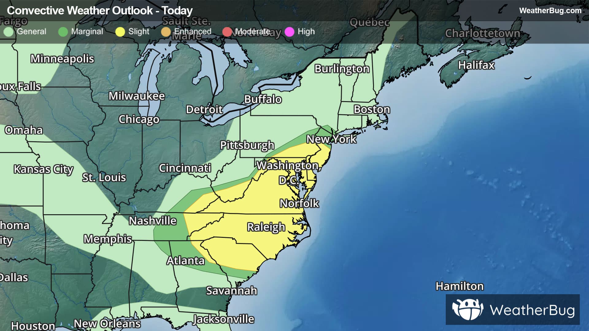
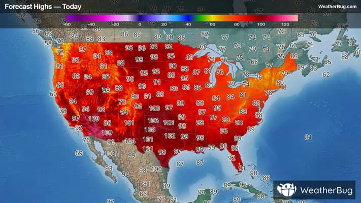
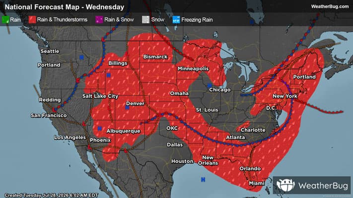
There is a Marginal Severe Storm Risk for your location. Continue reading for today's outlook from the National Weather Service's Storm Prediction Center.
--------------------
National Severe Storm Outlook
THERE IS A SLIGHT RISK OF SEVERE THUNDERSTORMS FROM EAST TENNESSEE INTO THE MID-ATLANTIC AND CAROLINAS...AND OVER EASTERN COLORADO INTO WESTERN NEBRASKA
SUMMARY
Thunderstorms capable of severe wind gusts and a tornado threat are expected today from parts of the Mid-Atlantic southward into the Carolinas. A few severe wind gusts and hail may also occur this afternoon and evening across parts of the central High Plains.
20Z Update
The forecast appears to be on track, and minimal changes were needed with this update. The MRGL and SLGT risk areas in the central High Plains were expanded slightly eastward in western NE and KS. The primary concern will be upscale-growing clusters capable of producing severe wind gusts as storms move into an increasingly warm/moist air mass this evening.
Farther east, severe probabilities were trimmed behind southeastward-moving storms in the central Appalachians. The primary concern continues to be damaging wind gusts, especially with any organized clusters/bowing structures that evolve.