What Does AQI Mean? How to Read Air Quality Levels
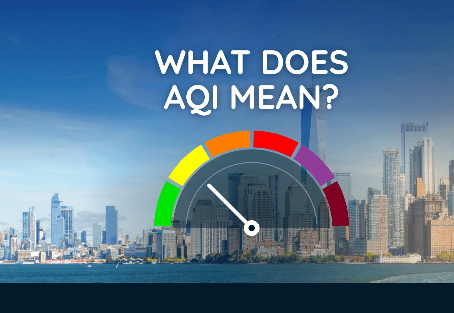
The Air Quality Index turns pollution data into a simple number and color that can help you decide when to adjust outdoor plans.
Read More
# HEADLINE -------------------- FLOOD WATCH IN EFFECT FROM 10 AM EST THIS MORNING THROUGH MONDAY AFTERNOON # DETAILS -------------------- WHAT Flooding caused by excessive rainfall is possible. WHERE A portion of east central Florida, including the following counties, Indian River, Saint Lucie, Martin, and Brevard. WHEN From 10 AM EST this morning through Monday afternoon. IMPACTS Flooding may occur in poor drainage and urban areas. Some roads may flood. Minor tidal flooding along the coast may be exacerbated by heavy rainfall. ADDITIONAL DETAILS - An approaching disturbance from the Gulf is forecast to interact with unusually rich moisture over portions of Central Florida, causing bands of heavy rain today through Monday afternoon. The ground is nearly saturated, especially along the Treasure Coast urban corridor. Widespread amounts of 1-3 inches are forecast, with localized amounts of 5 inches or more which may cause flash flooding. - http://www.weather.gov/safety/flood ISSUED AT Sunday, November 1, 2026 at 12:41 AM EDT ISSUED BY National Weather Service Melbourne FL HEADER URGENT - IMMEDIATE BROADCAST REQUESTED | Flood Watch # PRECAUTIONARY/PREPAREDNESS ACTIONS -------------------- You should monitor later forecasts and be alert for possible Flood Warnings. Those living in areas prone to flooding should be prepared to take action should flooding develop. # AREAS AFFECTED -------------------- Inland Southern Brevard, Coastal Indian River, Coastal Martin, Coastal Saint Lucie, Inland Indian River, Inland Martin, Inland Northern Brevard, Inland Saint Lucie, Mainland Northern Brevard, Mainland Southern Brevard, Northern Brevard Barrier Islands, Southern Brevard Barrier Islands Including the cities of Cocoa, Saint Lucie West, Port Saint Lucie, Playalinda Beach, Port Saint John, Viera West, Satellite Beach, Canaveral Groves, Vero Beach, Sebastian, Melbourne, Melbourne Beach, Mims, Fellsmere, Fort Pierce, Hobe Sound, Stuart, Titusville, Rockledge, Cocoa Beach, Palm Bay west of I 95, Jensen Beach, Tradition, Indiantown, and Merritt Island Wildlife Refuge
# HEADLINE -------------------- COASTAL FLOOD ADVISORY NOW IN EFFECT UNTIL 7 PM EST MONDAY HIGH SURF ADVISORY NOW IN EFFECT UNTIL 7 PM EST MONDAY HIGH RIP CURRENT RISK NOW IN EFFECT THROUGH LATE TUESDAY NIGHT # DETAILS -------------------- WHAT For the Coastal Flood Advisory, minor coastal flooding. For the High Surf Advisory, large breaking waves of 5 to 7 feet in the surf zone. For the High Rip Current Risk, dangerous rip currents. WHERE Coastal portions of Saint Lucie and Martin Counties. WHEN For the Coastal Flood Advisory and High Surf Advisory, until 7 PM EST Monday. For the High Rip Current Risk, through late Tuesday night. IMPACTS Some flooding of low-lying lots, parks and roadways may occur near the shoreline. Only isolated road closures are expected. Dangerous swimming and surfing conditions and localized beach erosion. Rip currents can sweep even the best swimmers away from shore into deeper water. ISSUED AT Sunday, November 1, 2026 at 1:39 AM EST ISSUED BY National Weather Service Melbourne FL HEADER Coastal Hazard Message # PRECAUTIONARY/PREPAREDNESS ACTIONS -------------------- Onshore winds and above normal tides will combine to generate flooding of low areas along the shore. Do not drive around barricades or through water of unknown depth. Take the necessary actions to protect flood-prone property. High surf will affect the beaches in the advisory area, producing localized beach erosion and dangerous swimming conditions. Swimmers should remain out of the water due to large breaking waves and dangerous surf conditions. Rip currents are powerful channels of water flowing quickly away from shore, which occur most often at low spots or breaks in the sandbar and in the vicinity of structures such as jetties and piers. Heed the advice of lifeguards, beach patrol flags and signs. Entering the surf is strongly discouraged. If caught in a rip current, relax and float. Don't swim against the current. If able, swim in a direction following the shoreline. If unable to escape, face the shore and call or wave for help. # AREAS AFFECTED -------------------- Coastal Martin, Coastal Saint Lucie
# HEADLINE -------------------- COASTAL FLOOD ADVISORY NOW IN EFFECT UNTIL 7 PM EST MONDAY HIGH SURF ADVISORY NOW IN EFFECT UNTIL 7 PM EST MONDAY HIGH RIP CURRENT RISK NOW IN EFFECT THROUGH LATE TUESDAY NIGHT # DETAILS -------------------- WHAT For the Coastal Flood Advisory, minor coastal flooding. For the High Surf Advisory, large breaking waves of 5 to 7 feet in the surf zone. For the High Rip Current Risk, dangerous rip currents. WHERE Coastal portions of Saint Lucie and Martin Counties. WHEN For the Coastal Flood Advisory and High Surf Advisory, until 7 PM EST Monday. For the High Rip Current Risk, through late Tuesday night. IMPACTS Some flooding of low-lying lots, parks and roadways may occur near the shoreline. Only isolated road closures are expected. Dangerous swimming and surfing conditions and localized beach erosion. Rip currents can sweep even the best swimmers away from shore into deeper water. ISSUED AT Sunday, November 1, 2026 at 1:39 AM EST ISSUED BY National Weather Service Melbourne FL HEADER Coastal Hazard Message # PRECAUTIONARY/PREPAREDNESS ACTIONS -------------------- Onshore winds and above normal tides will combine to generate flooding of low areas along the shore. Do not drive around barricades or through water of unknown depth. Take the necessary actions to protect flood-prone property. High surf will affect the beaches in the advisory area, producing localized beach erosion and dangerous swimming conditions. Swimmers should remain out of the water due to large breaking waves and dangerous surf conditions. Rip currents are powerful channels of water flowing quickly away from shore, which occur most often at low spots or breaks in the sandbar and in the vicinity of structures such as jetties and piers. Heed the advice of lifeguards, beach patrol flags and signs. Entering the surf is strongly discouraged. If caught in a rip current, relax and float. Don't swim against the current. If able, swim in a direction following the shoreline. If unable to escape, face the shore and call or wave for help. # AREAS AFFECTED -------------------- Coastal Martin, Coastal Saint Lucie
# HEADLINE -------------------- COASTAL FLOOD ADVISORY NOW IN EFFECT UNTIL 7 PM EST MONDAY HIGH SURF ADVISORY NOW IN EFFECT UNTIL 7 PM EST MONDAY HIGH RIP CURRENT RISK NOW IN EFFECT THROUGH LATE TUESDAY NIGHT # DETAILS -------------------- WHAT For the Coastal Flood Advisory, minor coastal flooding. For the High Surf Advisory, large breaking waves of 5 to 7 feet in the surf zone. For the High Rip Current Risk, dangerous rip currents. WHERE Coastal portions of Saint Lucie and Martin Counties. WHEN For the Coastal Flood Advisory and High Surf Advisory, until 7 PM EST Monday. For the High Rip Current Risk, through late Tuesday night. IMPACTS Some flooding of low-lying lots, parks and roadways may occur near the shoreline. Only isolated road closures are expected. Dangerous swimming and surfing conditions and localized beach erosion. Rip currents can sweep even the best swimmers away from shore into deeper water. ISSUED AT Sunday, November 1, 2026 at 1:39 AM EST ISSUED BY National Weather Service Melbourne FL HEADER Coastal Hazard Message # PRECAUTIONARY/PREPAREDNESS ACTIONS -------------------- Onshore winds and above normal tides will combine to generate flooding of low areas along the shore. Do not drive around barricades or through water of unknown depth. Take the necessary actions to protect flood-prone property. High surf will affect the beaches in the advisory area, producing localized beach erosion and dangerous swimming conditions. Swimmers should remain out of the water due to large breaking waves and dangerous surf conditions. Rip currents are powerful channels of water flowing quickly away from shore, which occur most often at low spots or breaks in the sandbar and in the vicinity of structures such as jetties and piers. Heed the advice of lifeguards, beach patrol flags and signs. Entering the surf is strongly discouraged. If caught in a rip current, relax and float. Don't swim against the current. If able, swim in a direction following the shoreline. If unable to escape, face the shore and call or wave for help. # AREAS AFFECTED -------------------- Coastal Martin, Coastal Saint Lucie
Closest strike: 22.15 miles Monitor Storms You are not at immediate risk, but frequently check WeatherBug to see if storms are moving towards you. Be aware that new storms can also form with little notice.
The Air Quality Index turns pollution data into a simple number and color that can help you decide when to adjust outdoor plans.