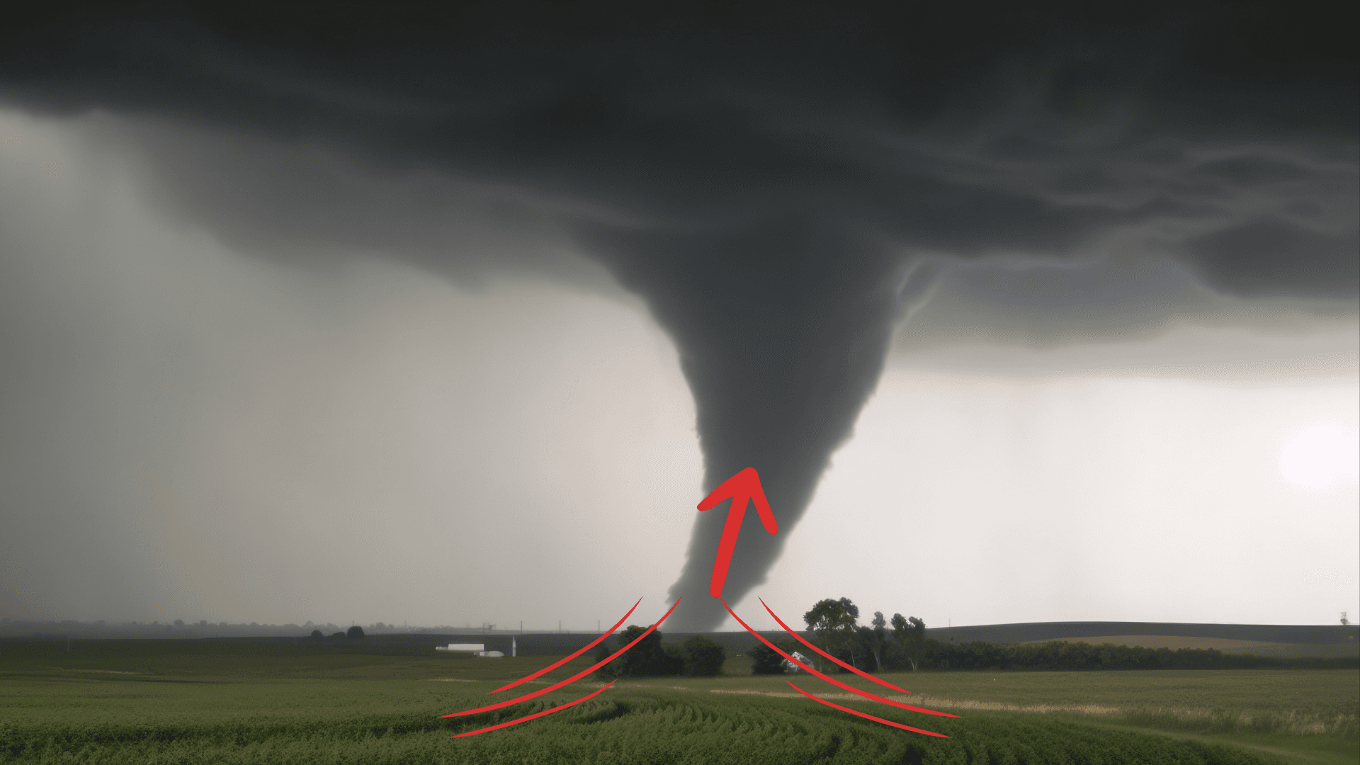
There is a Slight Severe Storm Risk for your location. Continue reading for today's outlook from the National Weather Service's Storm Prediction Center.
--------------------
National Severe Storm Outlook
THERE IS A SLIGHT RISK OF SEVERE THUNDERSTORMS FOR PARTS OF THE MID-ATLANTIC INTO SOUTHERN NEW ENGLAND
SUMMARY
Thunderstorms with wind-damage and localized brief-tornado potential are expected across parts of the Mid-Atlantic into southern New England, mainly this afternoon and early evening.
Mid-Atlantic into southern New England
A deep, positive-tilt mid/upper-level trough is forecast to further amplify as it spreads over the eastern CONUS today. A surface low initially near the lower Great Lakes will move quickly eastward toward northern New England by evening. A trailing cold front will sweep through the Mid-Atlantic and Northeast from this afternoon into tonight.
In the wake of early-day clouds and precipitation, seasonably rich low-level moisture and modest diurnal heating will result in sufficient destabilization for storm development along the front. Very weak lapse rates above 500 mb will constrain MLCAPE magnitudes to the 500-1000 J/kg range, and result in rather low-topped convection. However, in areas where temperatures can rise to near/above 70 F, relatively robust buoyancy near/below 500 mb (characterized by lifted indices in the -4 to -6 C range) will develop prior to the frontal passage. This buoyancy will be sufficient for development of occasionally organized storm structures, in the presence of strengthening deep-layer flow/shear. 35-45 kt of flow in the 1-2 km AGL layer will support potential for strong/damaging gusts with any sufficiently robust convection.
Generally front-parallel flow may result in a primarily linear mode as convective coverage increases, though 40+ kt of effective shear will support potential for embedded low-topped supercells. A localized wind-damage threat may develop early this afternoon from WV/western PA into southern NY, with initial frontal development. The wind-damage threat is expected to increase through the afternoon as storms spread eastward into a somewhat warmer and more unstable environment across eastern PA, NJ, and vicinity. Rather strong low-level shear will also support some brief-tornado potential with QLCS circulations and/or embedded supercell structures.
Some wind-damage potential could spread into southern New England by this evening, though marine-influenced low-level stability should eventually constrain the eastward extent of the threat.