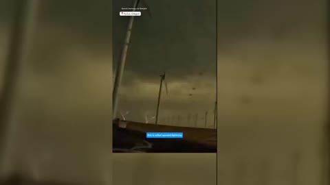
Chautauqua, NY Weather

As of

Weather Station:Chautauqua Co Arpt 1720 ft elev

Open weather station selector modal

21degrees Fahrenheit

Feels like:8°F

Hi: 24Lo: 21

Mostly Cloudy

Live Weather Radar

Chautauqua, NY weather radar map

Current Weather Details

Windchill
--
Daily Rain
--
Dew point
--
Monthly Rain
--
Humidity
--
Avg. Wind
--
Pressure
--
Wind Gust
--
Sunrise
7:43 AM
Moon
Waning Crescent
Sunset
5:12 PM
UV Index
2 (Low)

Weather Forecast

  • Today

    Hi

    Mostly cloudy with a chance of snow. Chance of precipitation 40%. High temperature around 24F. Dew point will be around 13F with an average humidity of 78%. Winds will be 10 mph from the S.

  • Tonight

    Lo

    Mostly cloudy. Snow showers likely early then a chance of snow showers from late evening on. Accumulation ranging from little or nothing across the lower elevations to around an inch across the higher terrain. Lows in the mid 20s. South winds 10 to 15 mph with gusts up to 30 mph this evening diminishing to 5 to 10 mph. Chance of snow 60 percent.

Chautauqua, NY 10-day weather forecast

AIR QUALITY

21 | Fair

Top Triggers:pm25
Air quality data provided by Ambee
View Today's Air Quality details for Chautauqua, NY

POLLEN COUNT & ALLERGY FORECAST

0.1 Low

Predominant Pollen:None
View the Pollen forecast details

LIGHTNING MAP

Closest strike in the last 30 minutes:1814.6 miles

No Lightning Nearby

Real-time lightning alerts & live Map