Dual Severe Weather Targets in Plains, Mid-South
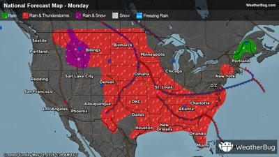
Gusty thunderstorms are expected to fire over the Central Plains and Tennessee Valley this afternoon and evening.
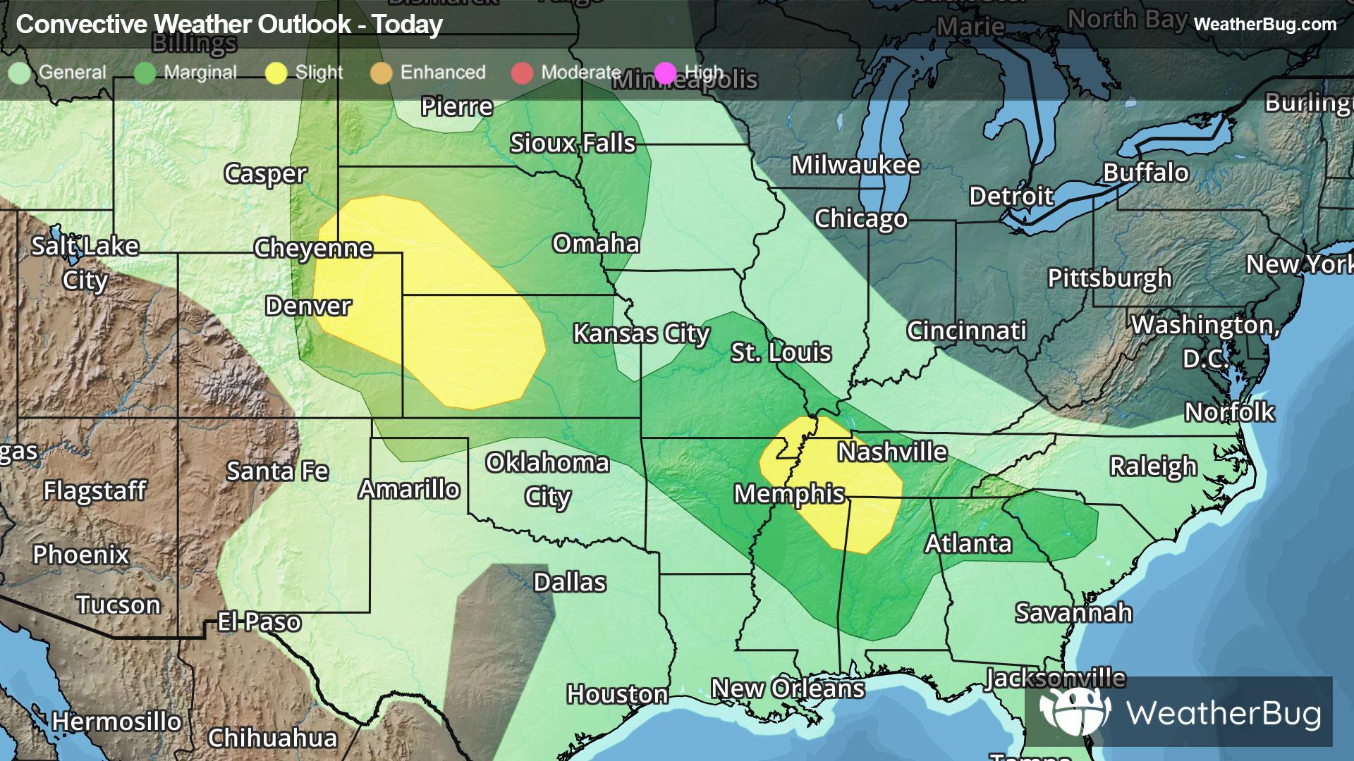
A low pressure system will develop over eastern Colorado today. Strong winds aloft as well as plentiful instability plus the addition of ample moisture will lead to severe thunderstorms pulsing in the Central Plains.
A Slight Risk, or a 2 out of 5 on the severe weather probability scale, exists from northeastern Colorado to southwestern Nebraska and western Kansas. This threat area includes Greeley and Aurora, Colo., Colby and Garden City, Kan., and McCook and North Platte, Neb. Damaging hail and strong wind gusts will be the primary concern, but isolated tornadoes are also possible.
Meanwhile, a cold front will trigger severe thunderstorms for portions of the Tennessee Valley this afternoon. Like the Plains, oodles of moisture is in play thanks to the Gulf while brisk winds aloft and moderate instability will aid in thunderstorm development.
Another Slight Risk has been issued for far northeastern Arkansas, far southeastern Missouri, northeastern Mississippi, northwestern Alabama and western Tennessee. This includes Memphis and Jackson, Tenn. and Huntsville, Ala.
Make sure to know the difference between a watch and a warning should they be issued. A "watch" means that conditions are favorable for severe weather to occur, and to be on alert for any rapidly changing conditions. A "warning" means that severe weather is imminent, and you should act fast to remain safe.
The best way to remain safe is to stay prepared and informed about your local weather. Have a severe weather kit packed with a battery-operated radio, water, and non-perishable food items. Also, check the WeatherBug app frequently for any updates on today's severe weather. Remember, "When Thunder Roars, Go Indoors!"