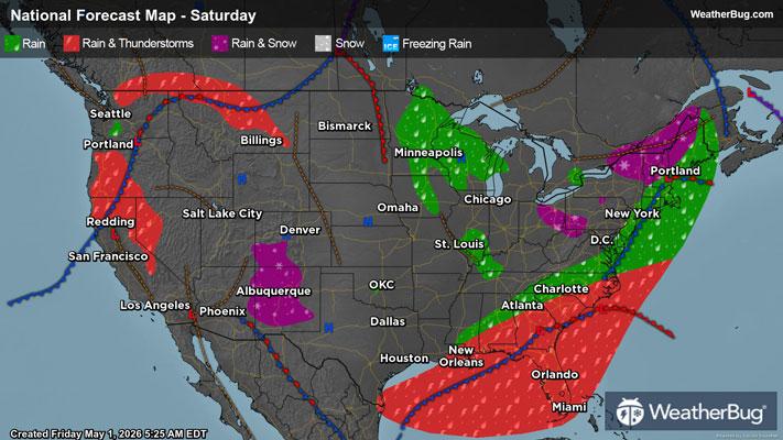
Heavy Rain, Severe Storms Impact the Southeast
An area of low pressure will produce locally heavy rainfall and severe weather throughout the Southeast today.
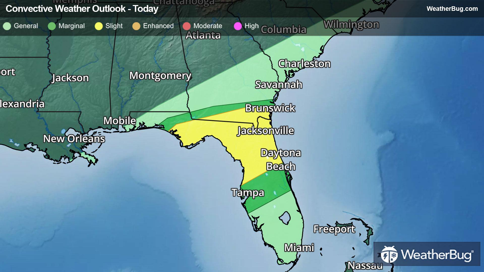
This low pressure system has already produced heavy rainfall across the Gulf Coast states to the southern Plains over the past couple of days. Additional moderate to briefly heavy rainfall is likely across portions of Georgia and northern Florida, as well as parts of the eastern Carolinas this morning.
Rainfall totals of 1 to 2 inches will be common, while localized amounts of 3 or 4 inches may be possible over northern Florida and southern Georgia. Be weather-aware in low-lying and urban areas, and remember, “Turn Around, Don’t Drown!”
In addition to the heavy rainfall, strong to severe thunderstorms will develop near a cold front that trails the storm system. The government's Storm Prediction Center has placed much of northern Florida into southern Georgia in a Slight Risk, or a 2 out of 5 on the severe weather probability scale, for today.
Damaging wind gusts will be the primary threat from thunderstorms today, though hail and even an isolated tornado cannot be ruled out. Cities at risk today include Valdosta, Ga., and Tallahassee, Jacksonville, and Ocala, Flo.
Make sure to know the difference between a watch and a warning should they be issued. A "watch" means that conditions are favorable for severe weather to occur, and to be on alert for any rapidly changing conditions. A "warning" means that severe weather is imminent, and you should act fast to remain safe.
The best way to remain safe is to stay prepared and informed about your local weather. Have a severe weather kit packed with a battery-operated radio, water, and non-perishable food items. Also, check the WeatherBug app frequently for any updates on today's severe weather. Remember, "When Thunder Roars, Go Indoors!"