


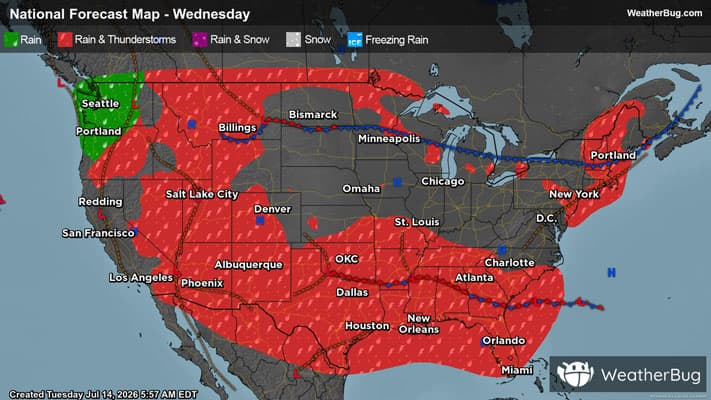
Heavy Rain in Texas Leads to Flooding
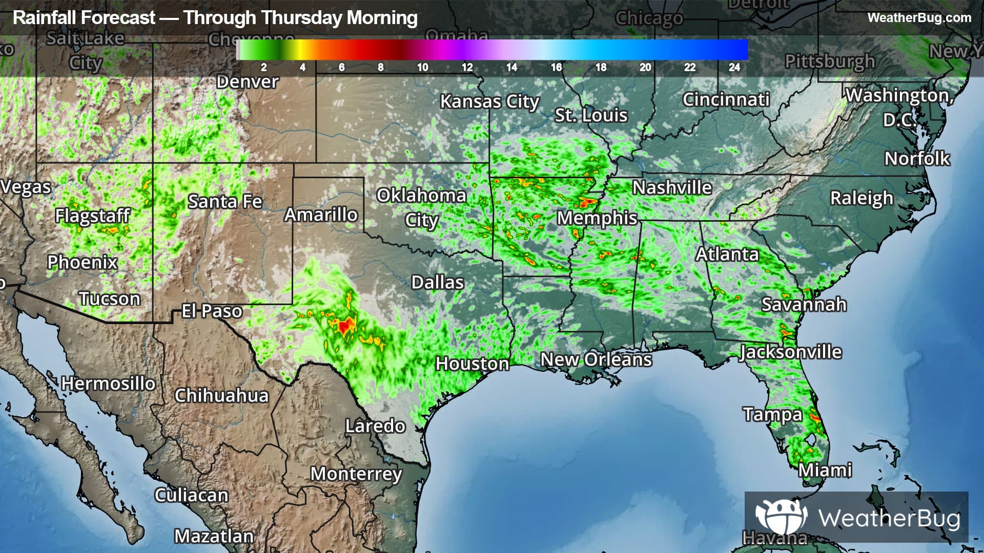
Central, west and southwestern Texas will be the focal point of heavy rain with the potential for flooding over the next few days. A very humid airmass with its origins from the tropics to the area's south, a series of disturbances aloft and the geography of the region will be the ingredients that come together that will help this rain to fall.
Flood Watches are in place across a huge region of central, west and southwest Texas, along the Rio Grande River extending several hundred miles to its north. This includes the Hill Country of central Texas, the Big Bend Country and the South Texas Plains. Some cities in this flood watch are Fort Stockton, Pecos, Sanderson, San Antonio and Austin. Remember if a roadway is flooded, "Turn Around, Don't Drown!". This will likely lead to travel delays across this region of the country.
Some locations in the area mentioned above have seen 3 to 5 inches of rain last night and 5 to 9 inches of rain over the past couple of days. Combine that with the potential for several more inches of rain of the next few days and we can see the validity of the concern for flooding.
Many spots in this area are rocky meaning that rain will just runoff into normally dry creeks that are already full. This will lead to further water rises in these creeks. Locations that do have soil already see this ground saturated or close to saturated and that leads to runoff in these areas as well. As has been well documented in the past in this part of the country, the evolution from heavy rainfall to flash flooding can happen very quickly in this setup and can turn life-threatening in a flash.