Mid-South Up Next in Severe Weather Outbreak

Impressive severe thunderstorms will reorganize in the Mid-South, leading to another day with all severe weather threats in play.
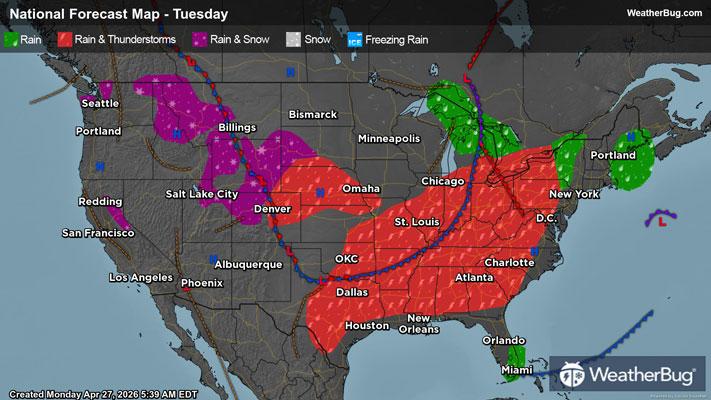
Later today, a new low pressure center will form in the southern Plains, leading the current cold front just north of the Mid-South to come to a halt. Despite the hold-up, soupy and energetic Gulf air will continue to flow in, developing into widely scattered supercells, severe thunderstorm clusters, and squall lines with the aid of plentiful upper-level energy.
An Enhanced Risk, or a 3 out of 5 on the severe weather probability scale, is in effect from far southern Missouri into northeastern Texas and northern and central Mississippi. Widely scattered, intense hailstorms and damaging winds as well as isolated tornadic thunderstorms are expected to form, threatening cities such as Dallas and Plano, Texas, Little Rock and Hot Springs, Ark., Memphis, Tenn., Shreveport and Monroe, La., and Jackson, Miss.
A surrounding Slight Risk, or a 2 out of 5 on the severe weather probability scale, extends further eastward into south central Kentucky and most of Alabama. Cities here include Springfield, Mo., Bowling Green, Ky., Nashville and Chattanooga, Tenn., and Montgomery and Birmingham, Ala. Here, widely scattered damaging winds, isolated large hailstorms, and a few tornadoes are possible.
Activity initially develops as supercells in the Ark-La-Tex region, having the capability to produce hail exceeding 3 or 4 inches. As the afternoon and evening continue, severe thunderstorms will organize into clusters and squall lines, where damaging winds become the primary threat. Tornadoes, however, will be possible at each stage.
Heavy rain under intense thunderstorms will also bring flooding concerns to the Mid-South and Lower Ohio Valley. Here, rain totals of 1 to 2 inches will be common today, with localized totals upwards of 3 inches possible beneath consecutive thunderstorm tracks. Be weather-aware in low-lying and urban areas, and remember, “Turn Around, Don’t Drown!”
The cold front will return to its southeastward sweep overnight, and on Wednesday, isolated severe thunderstorms may convene again ahead of the cold front as it dives into unstable conditions. Two Marginal Risk regions, a 1 out of 5 on the severe weather probability scale, are posted for the southern Mid-Atlantic and western Gulf states, respectively. Though all severe threats remain in play for both regions, they will likely be far and few in between along the cold front. Folks in cities such as Baltimore, Washington D.C., Richmond, Va., Charlotte, N.C., New Orleans, and Houston, San Antonio, and Austin, Texas, should remain weather-aware regardless.
Make sure to know the difference between a watch and a warning should they be issued. A "watch" means that conditions are favorable for severe weather to occur, and to be on alert for any rapidly changing conditions. A "warning" means that severe weather is imminent, and you should act fast to remain safe.
The best way to remain safe is to stay prepared and informed about your local weather. Have a severe weather kit packed with a battery-operated radio, water, and non-perishable food items. Also, check the WeatherBug app frequently for any updates on today's severe weather. Remember, "When Thunder Roars, Go Indoors!"