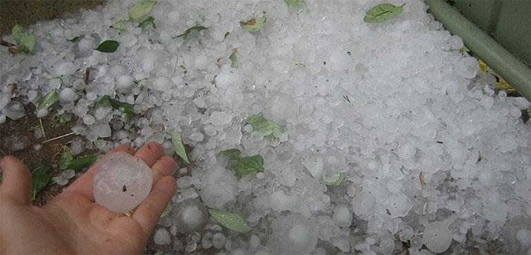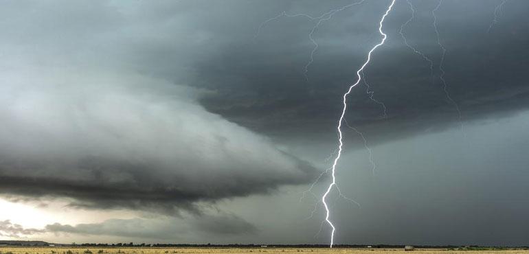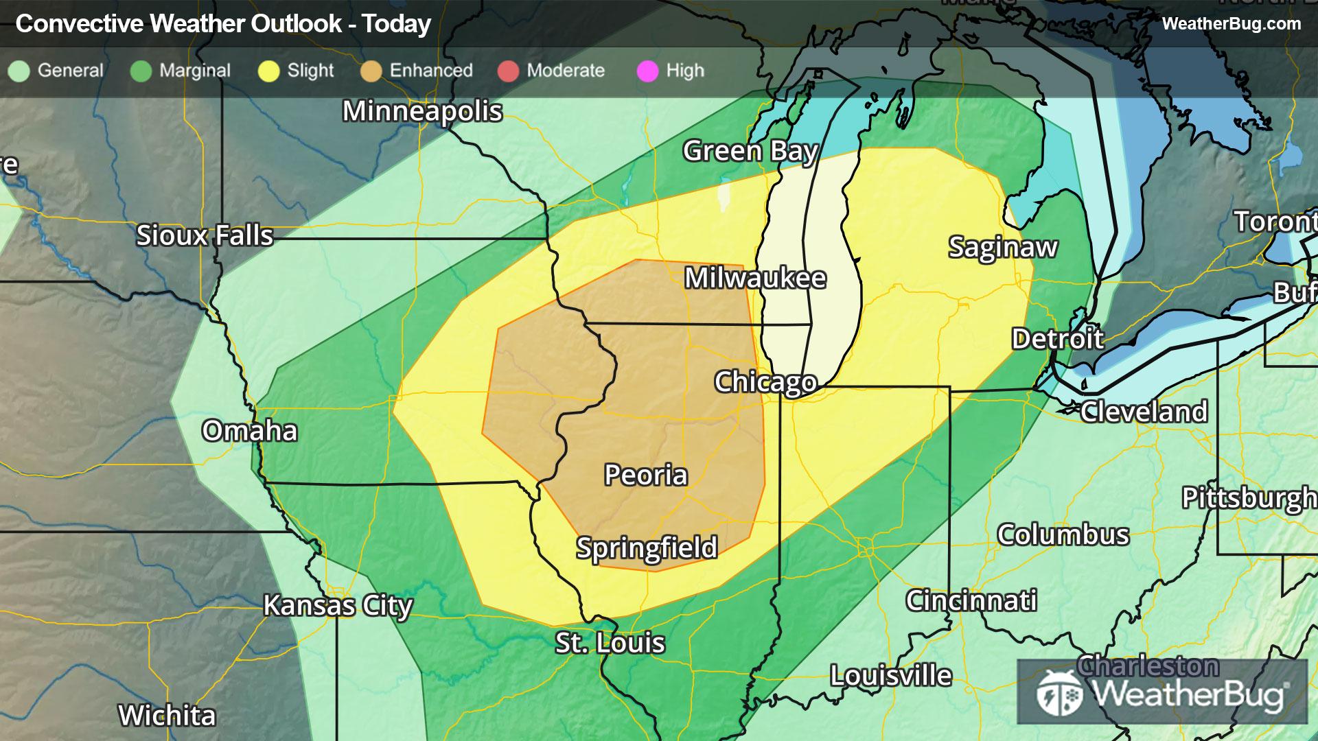
Severe Weather Heads for Midwest & Great Lakes
A potent low pressure system tracking into The Midwest and Great Lakes will provide ample energy for severe thunderstorms today.
Read MoreA potent low pressure system tracking into The Midwest and Great Lakes will provide ample energy for severe thunderstorms today.
Read More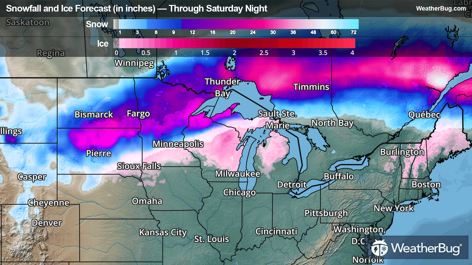
Two low pressure systems will bring late season snow and ice to the northern states over the next few days.
Read More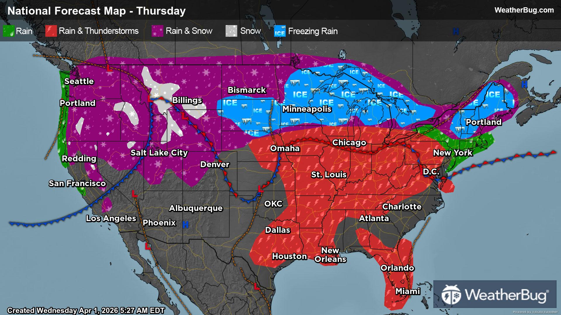
The Midwest and Plains will experience a combination of severe storms, heavy rain, and accumulating snow.
Read More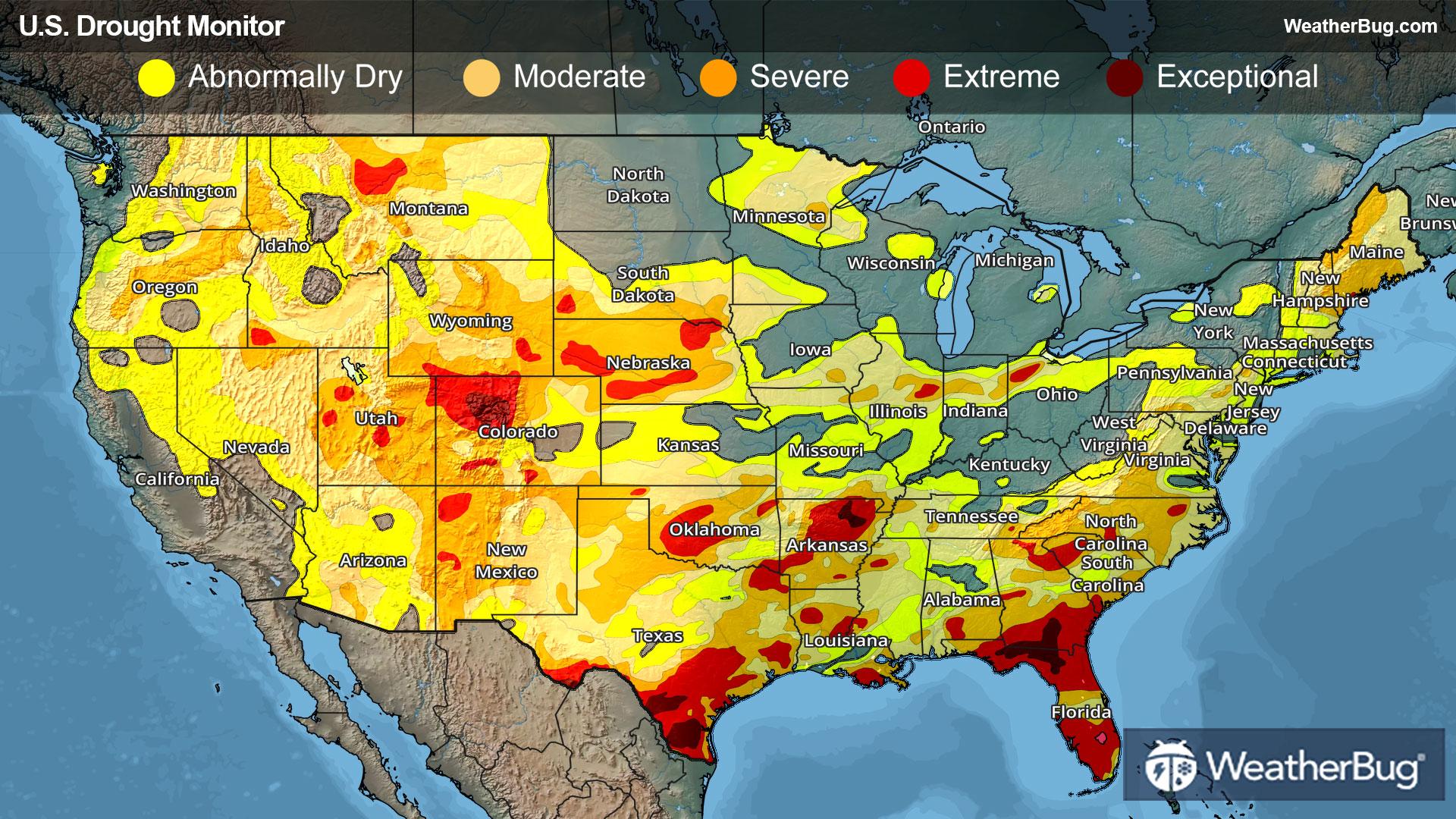
Extreme weather events across the U.S. painted a starkly contrasting picture of drought development and relief last week.
Read More