


Severe Storms Rumble Across the Plains
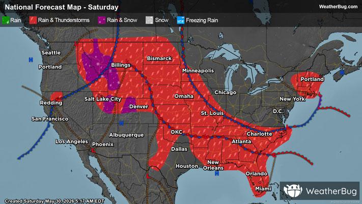
A broad low pressure system emerging from the Rockies will help produce scattered severe thunderstorms across the Plains later this afternoon and evening.
With air temperatures aloft turning colder and surface temperatures remaining rather warm, the atmosphere is expected to become rather unstable by mid- to late-afternoon. After adding in strong winds aloft and plenty of moisture available for thunderstorm development, the ingredients are coming together today for some explosive thunderstorm development over the Plains.
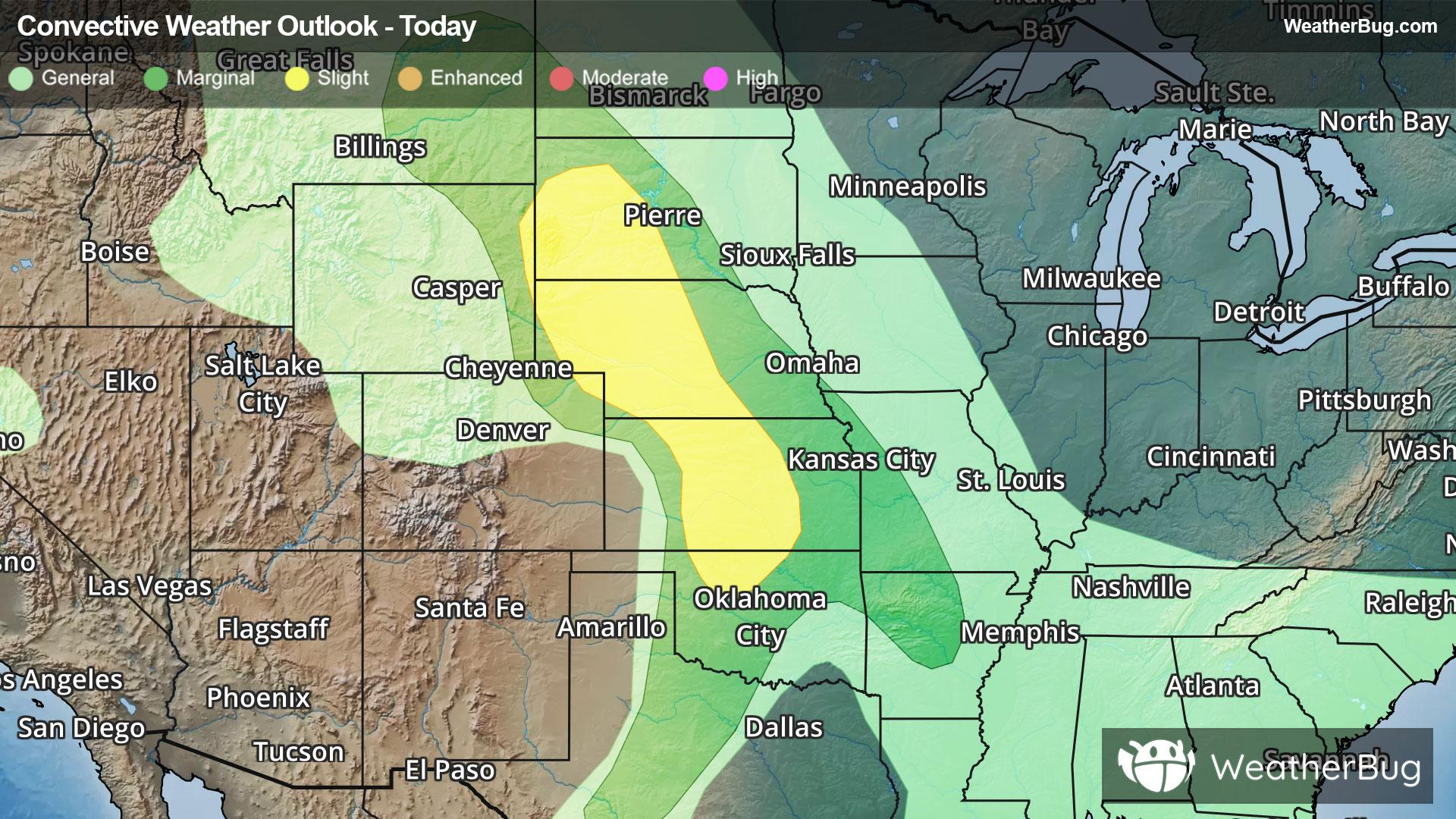
As a result, the government's Storm Prediction Center has issued a Slight Risk, or a 2 out of 5 on the severe weather probability scale, from western South Dakota to northern Oklahoma.
Cities such as Rapid City, S.D., McCook, Neb., Wichita, Kan., and Enid, Okla. are at risk to see large hail, damaging wind gusts, and even a few tornadoes from these thunderstorms today.
Make sure to know the difference between a watch and a warning should they be issued. A "watch" means that conditions are favorable for severe weather to occur, and to be on alert for any rapidly changing conditions. A "warning" means that severe weather is imminent, and you should act fast to remain safe.
The best way to remain safe is to stay prepared and informed about your local weather. Have a severe weather kit packed with a battery-operated radio, water, and non-perishable food items. Also, check the WeatherBug app frequently for any updates on today's severe weather. Remember, "When Thunder Roars, Go Indoors!"