


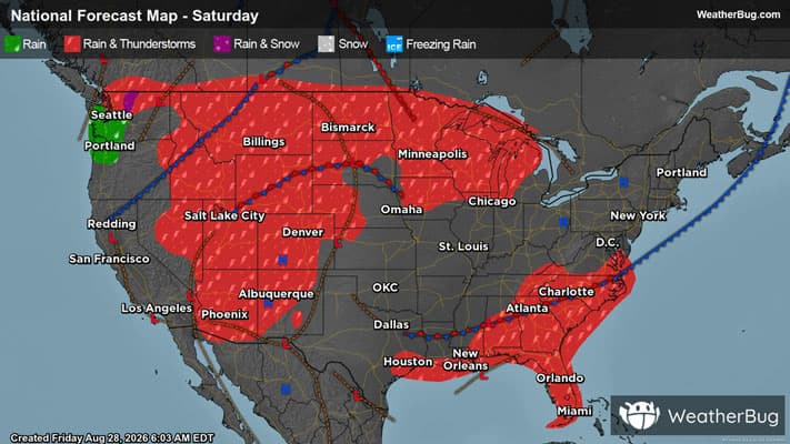
Severe Weather Targets Rockies, Northern Plains
Severe storms today will set their sights westward, from the northern Plains to the Great Basin.
As monsoonal moisture nears its peak in the Intermountain West, winds far above the surface strengthen today, helping to foster isolated to widely scattered severe thunderstorms by this afternoon, with a focus on northern Utah. East of the Rockies, a burgeoning low pressure region is forming, and with adequate moisture and already strong upper-level winds, isolated severe storms will arrive here too.
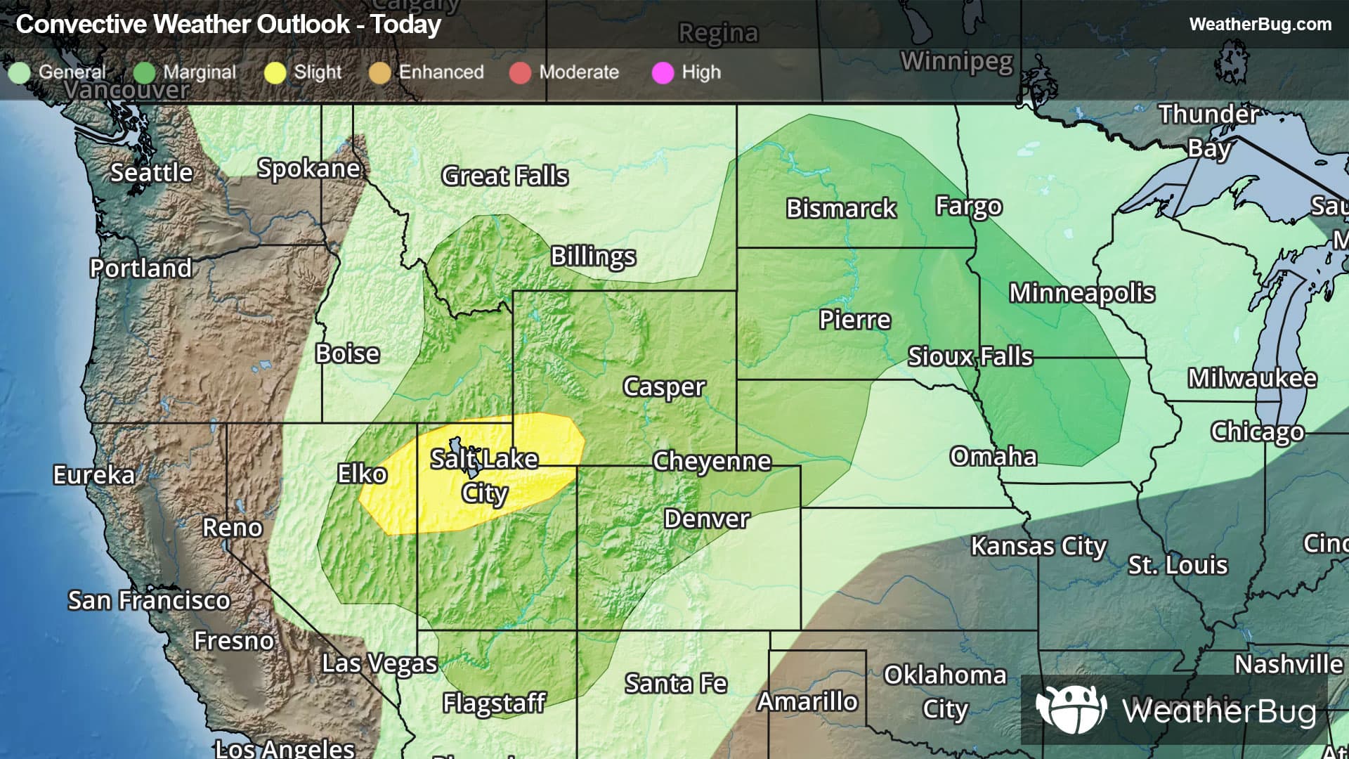
The government's Storm Prediction Center has posted a Slight Risk, or a 2 out of 5 on the severe weather probability scale, for northeastern Nevada, extreme southeastern Idaho, northern Utah, and southwestern Wyoming. Cities including Salt Lake City, Provo, and Orem, Utah, will be at risk for widely scattered bouts of large hail and damaging winds exceeding 70 mph.
Additionally, a vast Marginal Risk, or a 1 out of 5, encompasses the Slight Risk, expanding from the Four Corners region and Great Basin to the northern Plains and Iowa. More isolated severe storms capable of hail and severe winds could affect cities such as Flagstaff, Ariz., Elko, Nev., Pocatello, Idaho, Cheyenne, Wyo., Fargo, N.D., Sioux Falls, S.D., Des Moines, Iowa, Bozeman, Mont., and Denver.
Be sure to know the difference between a watch and a warning. A watch means that the conditions are in place to possibly produce severe weather, while a warning indicates that those conditions are currently occurring. Be sure to have multiple ways to receive warnings. Also, take caution if you are outdoors during a thunderstorm. Remember, “When Thunder Roars, Go Indoors!”