10-Day Weather Forecast - Afton Alps Ski Area, MN
- 80|64°F
 50% Chance of StormsHourly details
Today
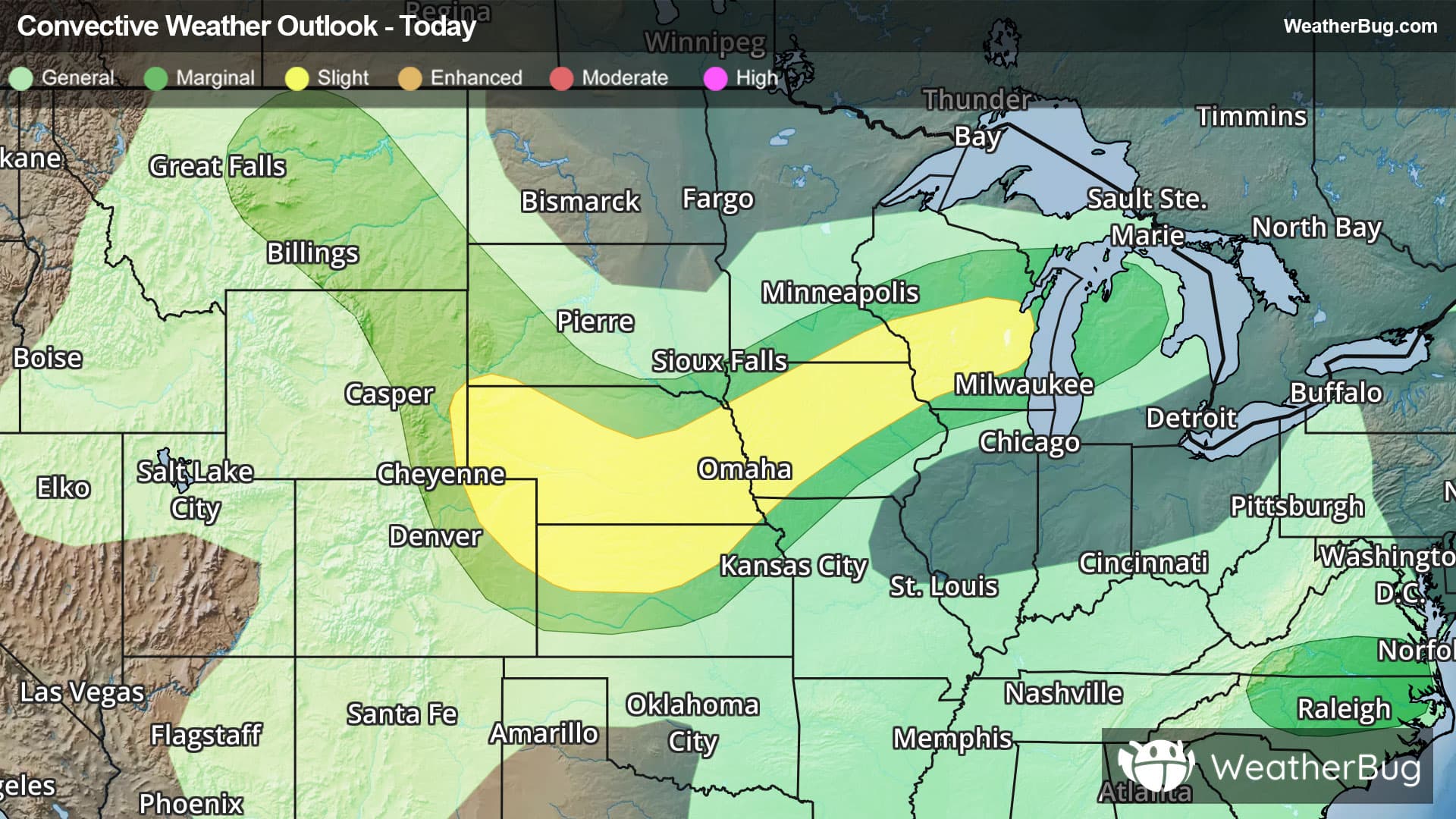
80°FCloudy. Chance of showers and slight chance of thunderstorms early in the morning then chance of thunderstorms in the late morning and afternoon. Highs around 80. Southwest winds up to 10 mph shifting to the northwest in the afternoon. Chance of precipitation 50 percent.
Tonight
64°F
Mostly cloudy. A 20 percent chance of thunderstorms in the evening. Lows in the lower 60s. North winds up to 5 mph.
- 82|63°F
 Mostly SunnyHourly details
Day
82°FMostly sunny. Highs in the lower 80s. North winds up to 5 mph.
Night
63°F
Mostly clear. Lows in the lower 60s. Northeast winds up to 5 mph in the evening becoming light.
- 85|65°F
 SunnyHourly details
Day
85°FSunny. Highs in the mid 80s. Southeast winds up to 5 mph.
Night
65°FMostly clear. Lows in the mid 60s.
Weekend Weather
- 88|68°FSunnyHourly details
Day
88°FSunny. Highs in the upper 80s.
Night
68°F
Clear. Lows in the upper 60s.
- 90|68°FSunnyHourly details
Day
90°FSunny. Highs around 90.
Night
68°FClear. Lows in the upper 60s.
- 91|69°FSunnyHourly details
Day
91°FSunny. Highs in the lower 90s.
Night
69°FClear. Lows in the lower 70s.
- 91|68°FSunny
Day
91°FSunny. Highs in the lower 90s.
Night
68°FClear with scattered thunderstorms. Chance of storms 40%. Low temperature around 68F. Dew point will be around 65F with an average humidity of 70%. Winds will be 5 mph from the SW.
- 87|66°FSunny
Day
87°FSunny. High temperature around 87F. Dew point will be around 64F with an average humidity of 59%. Winds will be 1 mph from the NE.
Night
66°FClear with widely scattered thunderstorms. Chance of storms 25%. Low temperature around 66F. Dew point will be around 62F with an average humidity of 67%. Winds will be 2 mph from the S.
- 83|64°FSunny
Day
83°FSunny. High temperature around 83F. Dew point will be around 62F with an average humidity of 60%. Winds will be 2 mph from the SW.
Night
64°FClear. Low temperature around 64F. Dew point will be around 60F with an average humidity of 68%. Winds will be 3 mph from the SW.
- 84|65°FSunny
Day
84°FSunny. High temperature around 84F. Dew point will be around 61F with an average humidity of 59%. Winds will be 3 mph from the SW.
Night
65°FClear. Low temperature around 65F. Dew point will be around 61F with an average humidity of 67%. Winds will be 5 mph from the SW.