10-Day Weather Forecast - Bloomfield, NY
- |71°F
 Mostly CloudyHourly details
Tonight
71°FPartly to mostly cloudy. Very warm with lows around 70. Light southwest winds.
- 81|63°F
 60% Chance of StormsHourly details
Day
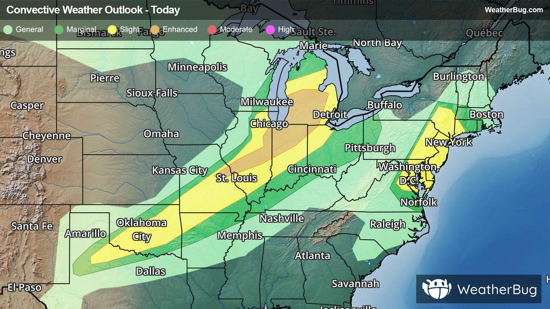
81°FShowers likely with a chance of thunderstorms. Very warm and humid with highs ranging from the lower 80s on the hilltops to the upper 80s across the lower elevations. Southwest winds 5 to 10 mph becoming west 10 to 15 mph with gusts up to 30 mph. Chance of rain 60 percent.
Night
63°F
Mainly clear. Less humid with lows in the lower 60s. West winds 10 to 15 mph becoming light.
Weekend Weather
- 79|67°F
 SunnyHourly details
Day
79°FSunny. Highs ranging from the upper 70s on the hilltops to the mid 80s across the lower elevations. West winds 10 mph or less.
Night
67°F
Mainly clear in the evening then becoming partly cloudy. Lows in the mid 60s. Light winds becoming south 5 to 10 mph.
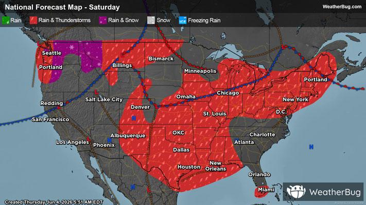
- 76|53°FThunderstormsHourly details
Day
76°FShowers with a chance of thunderstorms. Highs in the lower 80s. Chance of rain 90 percent.
Night
53°F
Showers with a chance of thunderstorms. Lows in the lower 50s. Chance of rain 90 percent.
- 66|53°F
 Mostly SunnyHourly details
Day
66°FMostly sunny. Highs in the lower 70s.
Night
53°FPartly cloudy. Lows in the lower 50s.
- 73|56°F
 30% Chance Rain ShowersHourly details
Day
73°FPartly sunny with a chance of showers. Highs in the mid 70s. Chance of rain 30 percent.
Night
56°F
Partly cloudy with a chance of showers. Lows in the mid 50s. Chance of rain 30 percent.
- 74|62°F60% Chance of StormsHourly details
Day
74°FShowers likely with a chance of thunderstorms. Highs in the upper 70s. Chance of rain 60 percent.
Night
62°FShowers likely with a chance of thunderstorms. Lows around 60. Chance of rain 60 percent.
- 75|62°F70% Chance Rain Showers
Day
75°FShowers likely. Highs in the lower 80s. Chance of rain 70 percent.
Night
62°F
Partly cloudy with probable rain. Chance of precipitation 70%. Low temperature around 62F. Dew point will be around 57F with an average humidity of 73%. Winds will be 9 mph from the SW.
- 72|59°F
 50% Chance of Rain
Day
72°FSunny with a chance of rain. Chance of precipitation 45%. High temperature around 72F. Dew point will be around 56F with an average humidity of 65%. Winds will be 11 mph from the W.
Night
59°FClear with a slight chance of rain. Chance of precipitation 25%. Low temperature around 59F. Dew point will be around 51F with an average humidity of 68%. Winds will be 8 mph from the W.
Weekend Weather
- 71|58°F30% Chance of Rain
Day
71°FSunny with a slight chance of rain. Chance of precipitation 30%. High temperature around 71F. Dew point will be around 53F with an average humidity of 62%. Winds will be 10 mph from the W.
Night
58°FClear with a slight chance of rain. Chance of precipitation 30%. Low temperature around 58F. Dew point will be around 51F with an average humidity of 69%. Winds will be 6 mph from the W.