10-Day Weather Forecast - Castlewood, SD
- |71°F
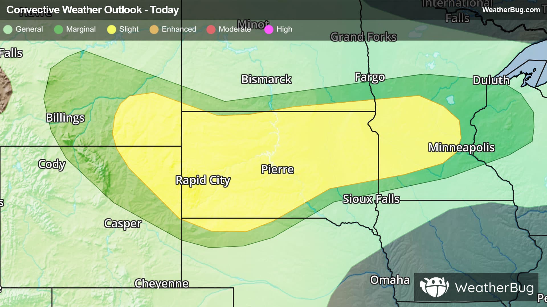
 70% Chance of StormsHourly details
Tonight
71°FMostly cloudy. A slight chance of thunderstorms late this evening then thunderstorms likely. Some thunderstorms may be severe with damaging winds and large hail late this evening. Lows in the upper 60s. East winds 10 to 15 mph with gusts up to 35 mph. Chance of rain 70 percent.
- 77|63°F
 40% Chance of StormsHourly details
Day
77°FMostly cloudy. A chance of thunderstorms in the morning. Humid with highs in the lower 80s. Northeast winds 5 to 10 mph with gusts up to 20 mph. Chance of rain 40 percent.
Night
63°F
Mostly cloudy. Lows in the lower 60s. North winds 5 to 10 mph.
- 81|64°F
 Partly SunnyHourly details
Day
81°FPartly sunny. Highs in the lower 80s. Northeast winds around 5 mph.
Night
64°F
Mostly clear in the evening then becoming partly cloudy. Lows in the lower 60s. Southeast winds around 5 mph.
- 86|67°F
 Mostly SunnyHourly details
Day
86°FMostly clear. Highs in the upper 80s. Lows in the mid 60s.
Night
67°F
Mostly clear. Highs in the upper 80s. Lows in the mid 60s.
Weekend Weather
- 89|69°FMostly SunnyHourly details
Day
89°FMostly clear. Highs in the upper 80s. Lows in the mid 60s.
Night
69°F
Clear. Lows in the upper 60s.
- 93|72°F
 SunnyHourly details
Day
93°FMostly clear. Hot. Highs in the mid 90s. Lows in the lower 70s.
Night
72°F
Mostly clear. Hot. Highs in the mid 90s. Lows in the lower 70s.
- 95|72°FSunnyHourly details
Day
95°FMostly clear. Hot. Highs in the mid 90s. Lows in the lower 70s.
Night
72°FMostly clear. Hot. Highs in the mid 90s. Lows in the lower 70s.
- 92|70°FSunny
Day
92°FMostly clear. Hot. Highs in the mid 90s. Lows in the lower 70s.
Night
70°FClear. Low temperature around 70F. Dew point will be around 63F with an average humidity of 62%. Winds will be 5 mph from the SE.
- 87|68°FSunny
Day
87°FSunny. High temperature around 87F. Dew point will be around 64F with an average humidity of 58%. Winds will be 4 mph from the SE.
Night
68°FClear. Low temperature around 68F. Dew point will be around 61F with an average humidity of 60%. Winds will be 5 mph from the SE.
- 87|68°FSunny
Day
87°FSunny. High temperature around 87F. Dew point will be around 63F with an average humidity of 59%. Winds will be 3 mph from the SE.
Night
68°F
Clear with a slight chance of rain. Chance of precipitation 25%. Low temperature around 68F. Dew point will be around 60F with an average humidity of 59%. Winds will be 4 mph from the S.