10-Day Weather Forecast - Garrettsville, OH
- 71|53°F
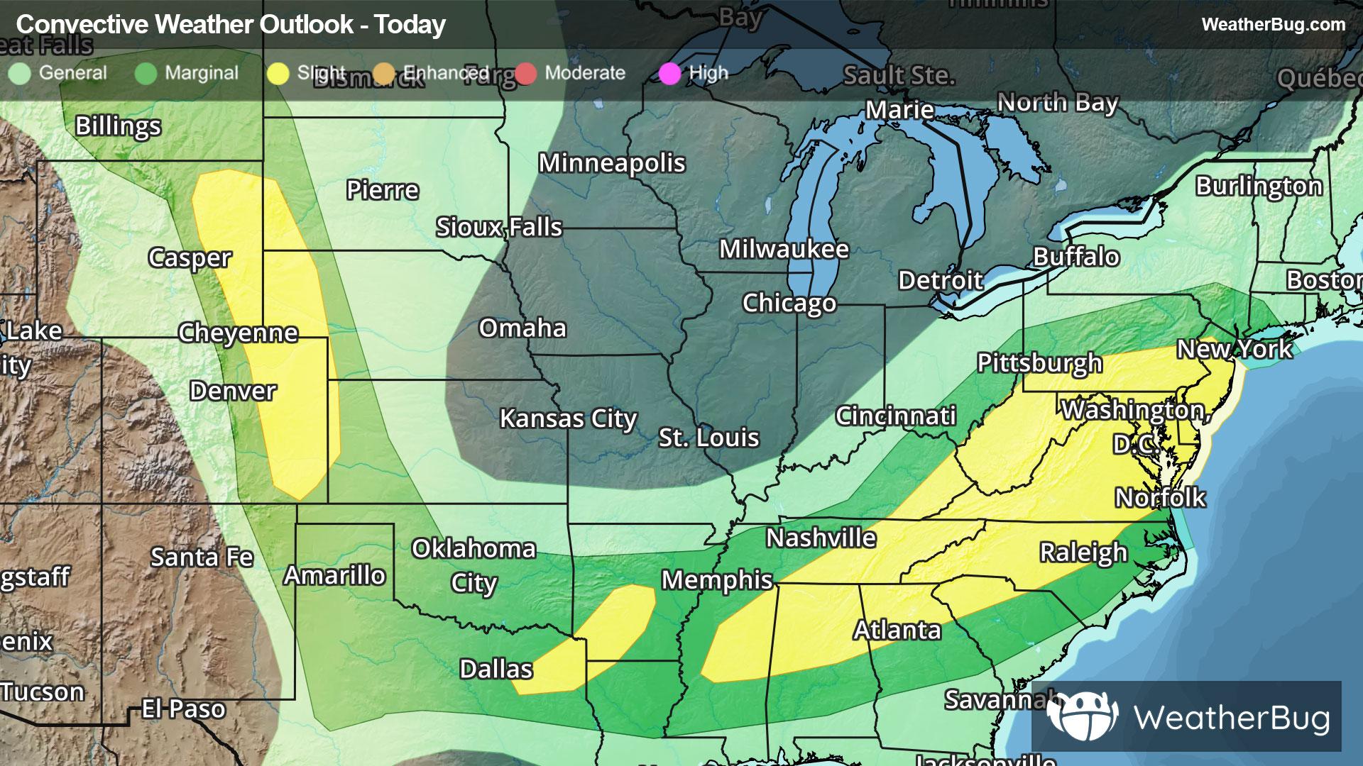
 ThunderstormsHourly details
Today
71°FA slight chance of thunderstorms. Showers mainly this morning. Highs in the lower 70s. East winds 5 to 10 mph becoming north this afternoon. Gusts up to 25 mph. Chance of rain near 100 percent.
Tonight
53°F
Mostly cloudy. Lows in the mid 50s. North winds 5 to 10 mph with gusts up to 25 mph.
- 75|52°F
 Mostly SunnyHourly details
Day
75°FMostly sunny. Highs in the mid 70s. North winds 5 to 10 mph.
Night
52°F
Clear. Lows in the lower 50s. Northwest winds 5 to 10 mph in the evening becoming light and variable.
- 78|57°FMostly SunnyHourly details
Day
78°FMostly sunny. Highs in the upper 70s. Light and variable winds becoming southwest around 5 mph in the afternoon.
Night
57°F
Partly cloudy in the evening then mostly cloudy with a chance of showers and thunderstorms after midnight. Lows in the upper 50s. Chance of rain 30 percent.
- 80|61°F70% Chance of StormsHourly details
Day
80°FPartly sunny with a chance of showers in the morning then mostly cloudy with showers likely with a chance of thunderstorms in the afternoon. Highs around 80. Chance of rain 70 percent.
Night
61°FMostly cloudy with a chance of thunderstorms. Showers likely mainly in the evening. Lows around 60. Chance of rain 70 percent.
- 79|61°F
 30% Chance Rain ShowersHourly details
Day
79°FPartly cloudy. A chance of showers in the afternoon. Highs in the upper 70s. Chance of rain 30 percent.
Night
61°F
Partly cloudy with a chance of showers in the evening then mostly cloudy after midnight. Lows in the upper 50s. Chance of rain 30 percent.
Weekend Weather
- 78|61°F
 Partly SunnyHourly details
Day
78°FPartly sunny. Highs in the lower 80s.
Night
61°F
Mostly cloudy in the evening then becoming partly cloudy. Lows in the lower 60s.
- 85|67°FPartly Cloudy
Day
85°FPartly cloudy. Highs in the mid 80s.
Night
67°FPartly cloudy. Low temperature around 67F. Dew point will be around 68F with an average humidity of 87%. Winds will be 4 mph from the S.
- 89|71°F
 30% Chance of Rain
Day
89°FSunny with a 25% chance for rain and thunderstorms. High temperature around 89F. Dew point will be around 70F with an average humidity of 66%. Winds will be 6 mph from the SW.
Night
71°F
Clear with a 25% chance for rain and thunderstorms. Low temperature around 71F. Dew point will be around 71F with an average humidity of 85%. Winds will be 5 mph from the SW.
- 92|71°F30% Chance of Rain
Day
92°FSunny with a 30% chance for rain and thunderstorms. High temperature around 92F. Dew point will be around 71F with an average humidity of 64%. Winds will be 7 mph from the SW.
Night
71°FClear with a 40% chance for rain and thunderstorms. Low temperature around 71F. Dew point will be around 71F with an average humidity of 85%. Winds will be 5 mph from the SW.
- 91|70°F50% Chance of Rain
Day
91°FSunny with a 50% chance for rain and thunderstorms. High temperature around 90F. Dew point will be around 71F with an average humidity of 66%. Winds will be 6 mph from the W.
Night
70°FClear with a 45% chance for rain and thunderstorms. Low temperature around 70F. Dew point will be around 70F with an average humidity of 85%. Winds will be 4 mph from the W.