10-Day Weather Forecast - Ghent, MN
- 94|76°F
 Partly CloudyHourly details
Today
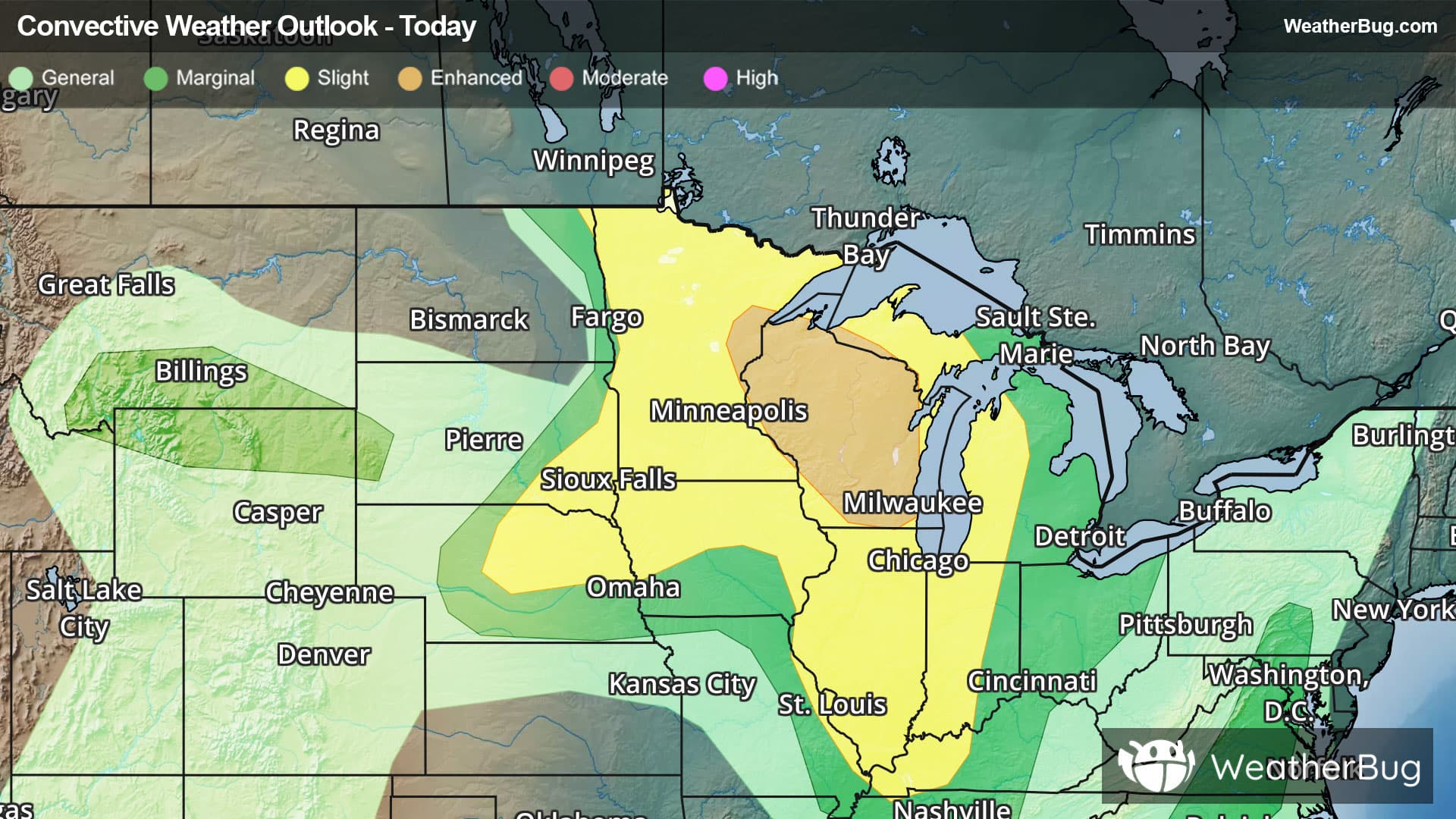
94°FPartly sunny. A chance of sprinkles this afternoon. Hot with highs in the mid 90s. Southwest winds 5 to 10 mph with gusts up to 20 mph. Heat index values up to 111 this afternoon.
Tonight
76°F
Mostly clear in the evening then becoming partly cloudy. Humid with lows in the lower 70s. South winds 5 to 10 mph becoming west after midnight. Heat index values up to 110 early in the evening.
- 91|70°F
 Mostly SunnyHourly details
Day
91°FMostly sunny. Patchy smoke. Humid with highs in the lower 90s. North winds 10 to 15 mph.
Night
70°FPartly cloudy. Lows in the upper 60s. North winds 5 to 10 mph.
- 90|70°FMostly SunnyHourly details
Day
90°FMostly sunny. Highs in the lower 90s. Northeast winds around 5 mph becoming east around 5 mph in the afternoon.
Night
70°F
Mostly clear. Lows in the upper 60s.
- 91|73°F
 SunnyHourly details
Day
91°FSunny. Highs in the lower 90s.
Night
73°F
Mostly clear in the evening then becoming mostly cloudy. Lows around 70.
- 85|69°F
 50% Chance of StormsHourly details
Day
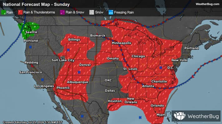
85°FPartly sunny. A chance of showers and thunderstorms in the afternoon. Highs in the mid 80s. Chance of rain 50 percent.
Night
69°F
A chance of thunderstorms in the evening. Partly cloudy with a chance of showers. Lows in the upper 60s. Chance of rain 50 percent.
- 84|66°FMostly SunnyHourly details
Day
84°FMostly sunny. Highs in the mid 80s.
Night
66°FMostly clear. Lows in the mid 60s.
Weekend Weather
- 85|67°FSunny
Day
85°FSunny. Highs in the mid 80s.
Night
67°F
Clear. Low temperature around 67F. Dew point will be around 65F with an average humidity of 76%. Winds will be 6 mph from the SW.
- 84|66°FSunny
Day
84°FSunny. High temperature around 84F. Dew point will be around 65F with an average humidity of 68%. Winds will be 5 mph from the S.
Night
66°FClear. Low temperature around 66F. Dew point will be around 67F with an average humidity of 74%. Winds will be 7 mph from the S.
- 81|64°FMostly Sunny
Day
81°FMostly sunny. High temperature around 81F. Dew point will be around 65F with an average humidity of 70%. Winds will be 4 mph from the SW.
Night
64°F
Mostly clear with a slight chance of rain. Chance of precipitation 30%. Low temperature around 64F. Dew point will be around 64F with an average humidity of 74%. Winds will be 4 mph from the W.
- 71|56°FSunny
Day
71°FSunny. High temperature around 71F. Dew point will be around 59F with an average humidity of 75%. Winds will be 7 mph from the N.
Night
56°FClear. Low temperature around 56F. Dew point will be around 57F with an average humidity of 79%. Winds will be 6 mph from the NW.