10-Day Weather Forecast - Hammond, IN
- 83|68°F
 70% Chance of StormsHourly details
Today
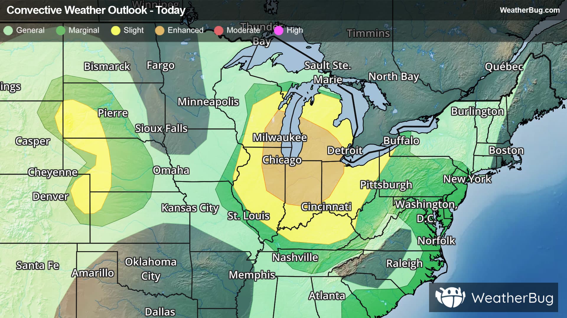
83°FPartly cloudy with a 95% chance for rain and thunderstorms. High temperature around 83F. Dew point will be around 74F with an average humidity of 80%. Winds will be 6 mph from the SW.
Tonight
68°F
Mostly cloudy. Thunderstorms likely and a chance of showers early in the evening, then a slight chance of showers and thunderstorms late in the evening. Lows in the upper 60s. Southwest winds 10 to 15 mph, becoming northwest after midnight. Chance of precipitation 60 percent.
- 77|66°F
 Mostly CloudyHourly details
Day
77°FMostly cloudy in the morning, then clearing. Highs in the upper 70s. North winds 10 to 15 mph with gusts up to 25 mph.
Night
66°F
Clear. Lows in the lower 60s. North winds 10 to 15 mph with gusts up to 25 mph, diminishing to 5 to 10 mph after midnight.
- 77|65°F
 SunnyHourly details
Day
77°FSunny. Highs around 80. North winds 5 to 10 mph.
Night
65°FClear. Lows in the lower 60s. North winds 5 to 10 mph.
- 84|67°F
 Partly CloudyHourly details
Day
84°FMostly sunny in the morning, then becoming partly cloudy. Highs in the mid 80s.
Night
67°F
Partly cloudy. Lows in the mid 60s.
- 82|68°F30% Chance of StormsHourly details
Day
82°FMostly cloudy. A chance of showers and thunderstorms in the afternoon. Highs in the mid 80s. Chance of precipitation 30 percent.
Night
68°F
Mostly cloudy with a chance of showers. Lows in the upper 60s. Chance of precipitation 50 percent.
Weekend Weather
- 76|68°F50% Chance of StormsHourly details
Day
76°FMostly cloudy with a chance of showers. A chance of thunderstorms in the afternoon. Highs in the upper 70s. Chance of precipitation 50 percent.
Night
68°FMostly cloudy in the evening, then becoming partly cloudy. Lows in the mid 60s.
- 78|66°FPartly Cloudy
Day
78°FPartly cloudy. Highs in the lower 80s.
Night
66°F
Mostly clear. Lows in the mid 60s.
- 79|68°F
 Mostly Sunny
Day
79°FMostly sunny. Highs in the mid 80s.
Night
68°FMostly clear. Low temperature around 68F. Dew point will be around 67F with an average humidity of 88%. Winds will be 6 mph from the S.
- 81|71°F
 30% Chance of Rain
Day
81°FSunny with a 35% chance for rain and thunderstorms. High temperature around 81F. Dew point will be around 69F with an average humidity of 76%. Winds will be 7 mph from the SW.
Night
71°F
Clear with a 35% chance for rain and thunderstorms. Low temperature around 71F. Dew point will be around 69F with an average humidity of 86%. Winds will be 5 mph from the S.
- 80|69°F50% Chance of Rain
Day
80°FMostly sunny with a chance of rain. Chance of precipitation 45%. High temperature around 80F. Dew point will be around 68F with an average humidity of 73%. Winds will be 2 mph from the W.
Night
69°FMostly clear with a chance of rain. Chance of precipitation 45%. Low temperature around 69F. Dew point will be around 66F with an average humidity of 84%. Winds will be 2 mph from the E.