10-Day Weather Forecast - Harper, KS
- |74°F
 Partly CloudyHourly details
Tonight
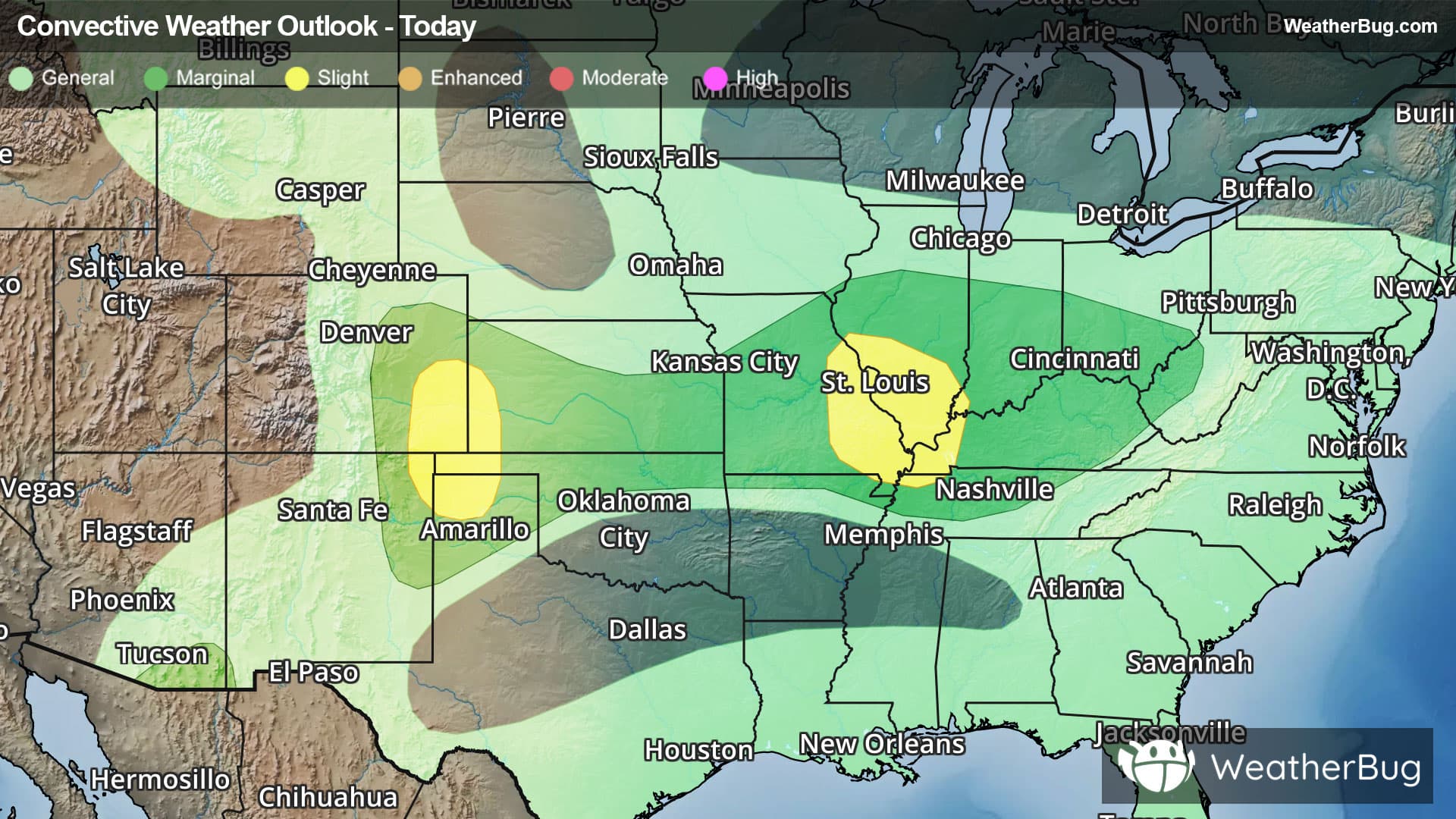
74°FPartly cloudy with a slight chance of showers and thunderstorms. Lows in the lower 70s. Northeast winds 5 to 10 mph. Chance of rain 20 percent.
Weekend Weather
- 92|72°F
 Mostly SunnyHourly details
Day
92°FMostly sunny. Humid with highs in the lower 90s. Northeast winds around 5 mph. Heat index values up to 100 in the afternoon.
Night
72°F
Mostly clear. Humid with lows in the lower 70s. East winds 5 to 10 mph.
- 91|71°F
 SunnyHourly details
Day
91°FSunny with highs in the lower 90s. East winds 5 to 10 mph.
Night
71°FMostly clear. Humid with lows around 70. East winds 5 to 10 mph.
- 89|70°FMostly SunnyHourly details
Day
89°FMostly clear. Highs around 90. Lows around 70.
Night
70°FMostly clear. Highs around 90. Lows around 70.
- 88|71°FMostly SunnyHourly details
Day
88°FMostly clear. Highs around 90. Lows around 70.
Night
71°FMostly clear. Highs around 90. Lows around 70.
- 89|72°FMostly SunnyHourly details
Day
89°FMostly sunny. Highs around 90.
Night
72°FMostly clear. Lows in the lower 70s. Highs in the mid 90s.
- 92|76°FMostly SunnyHourly details
Day
92°FMostly clear. Lows in the lower 70s. Highs in the mid 90s.
Night
76°FMostly clear. Lows in the lower 70s. Highs in the mid 90s.
- 96|79°FMostly Sunny
Day
96°FMostly clear. Lows in the lower 70s. Highs in the mid 90s.
Night
79°F
Clear with a slight chance of rain. Chance of precipitation 25%. Low temperature around 79F. Dew point will be around 66F with an average humidity of 53%. Winds will be 10 mph from the S.
Weekend Weather
- 96|76°FSunny
Day
96°FSunny. High temperature around 96F. Dew point will be around 68F with an average humidity of 53%. Winds will be 8 mph from the S.
Night
76°F
Clear. Low temperature around 76F. Dew point will be around 67F with an average humidity of 55%. Winds will be 6 mph from the S.
- 96|76°FSunny
Day
96°FSunny. High temperature around 96F. Dew point will be around 69F with an average humidity of 55%. Winds will be 4 mph from the S.
Night
76°FClear. Low temperature around 76F. Dew point will be around 67F with an average humidity of 53%. Winds will be 5 mph from the S.