10-Day Weather Forecast - Huntsville, AL
Weekend Weather
- 83|73°F
 70% Chance of StormsHourly details
Today
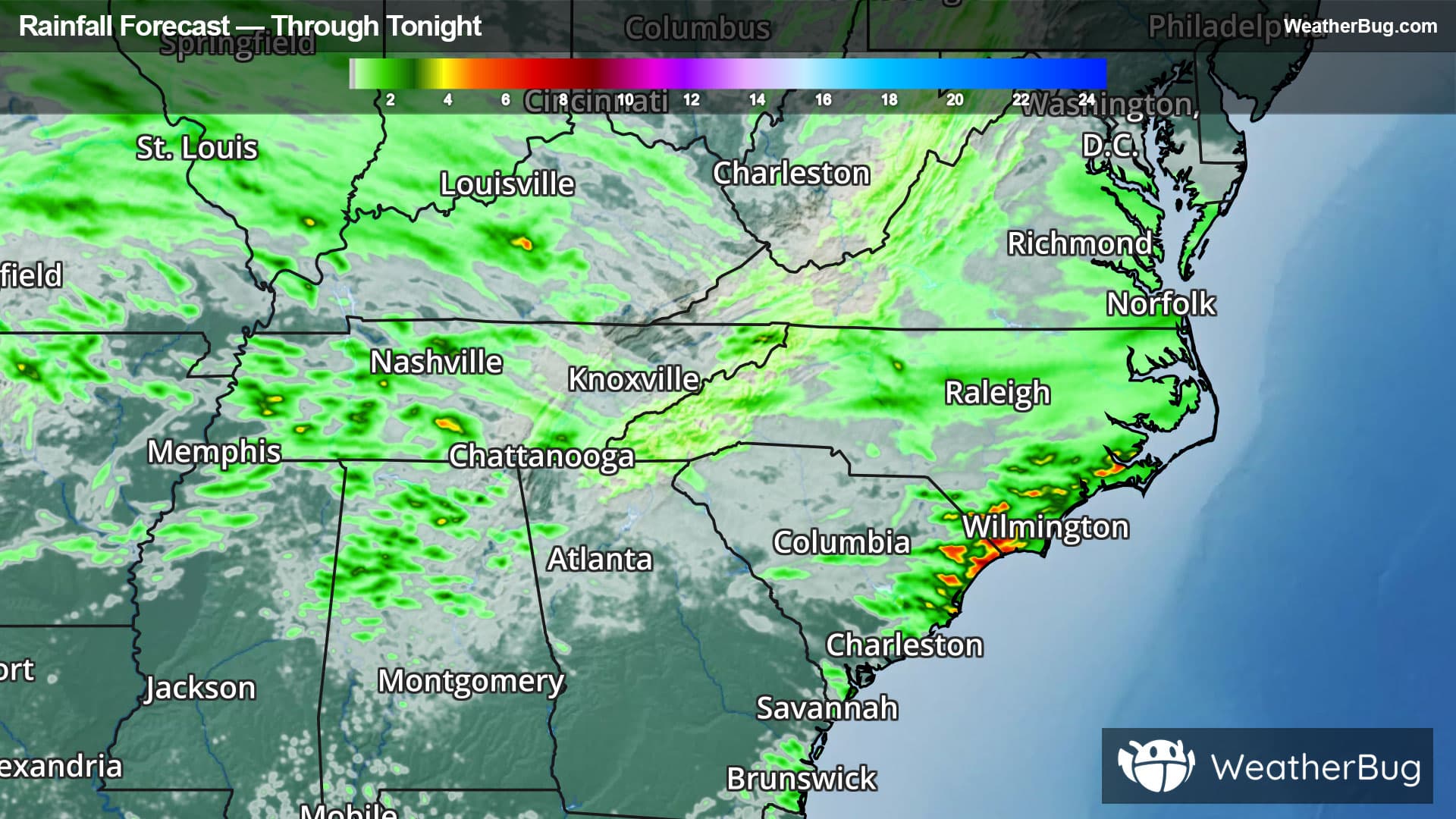
83°FMostly cloudy until late afternoon then becoming partly cloudy. A chance of showers and thunderstorms this morning then showers and thunderstorms likely this afternoon. Highs in the mid 80s. Light and variable winds. Chance of rain 70 percent.
Tonight
73°F
Partly cloudy with a chance of showers. A chance of thunderstorms mainly in the evening. Lows in the lower 70s. Light and variable winds. Chance of rain 50 percent.
- 89|75°F40% Chance of StormsHourly details
Day
89°FMostly cloudy with a slight chance of showers and thunderstorms in the morning then partly cloudy with a chance of showers and thunderstorms in the afternoon. Highs in the upper 80s. Light and variable winds. Chance of rain 40 percent. Heat index readings 98 to 103.
Night
75°F
Partly cloudy. Lows in the lower 70s. Light and variable winds.
- 92|76°F
 Partly CloudyHourly details
Day
92°FPartly cloudy. Highs in the lower 90s. Light and variable winds. Heat index readings 105 to 106 in the afternoon.
Night
76°F
Mostly clear. Lows in the lower 70s. Highs in the mid 90s.
- 95|76°F
 Mostly SunnyHourly details
Day
95°FMostly clear. Lows in the lower 70s. Highs in the mid 90s.
Night
76°FPartly cloudy. Lows in the mid 70s. Highs in the lower 90s.
- 86|69°FPartly CloudyHourly details
Day
86°FPartly cloudy. Lows in the mid 70s. Highs in the lower 90s.
Night
69°FMostly clear. Lows around 70.
- 86|69°FPartly CloudyHourly details
Day
86°FPartly cloudy. Highs in the lower 90s. Lows around 70.
Night
69°FPartly cloudy. Highs in the lower 90s. Lows around 70.
- 86|70°FPartly Cloudy
Day
86°FPartly cloudy. A slight chance of showers and thunderstorms in the afternoon. Highs around 90. Chance of rain 20 percent.
Night
70°FMostly clear. Low temperature around 70F. Dew point will be around 69F with an average humidity of 85%. Winds will be 3 mph from the NW.
Weekend Weather
- 84|71°F
 40% Chance of Rain
Day
84°FMostly sunny with a 40% chance for rain and thunderstorms. High temperature around 84F. Dew point will be around 71F with an average humidity of 73%. Winds will be 2 mph from the W.
Night
71°F
Clear with a 50% chance for rain and thunderstorms. Low temperature around 71F. Dew point will be around 72F with an average humidity of 91%. Winds will be 1 mph from the E.
- 84|72°F40% Chance of Storms
Day
84°FSunny with a 55% chance for rain and thunderstorms. High temperature around 84F. Dew point will be around 71F with an average humidity of 77%. Winds will be 2 mph from the SW.
Night
72°FClear with a 55% chance for rain and thunderstorms. Low temperature around 72F. Dew point will be around 71F with an average humidity of 91%. Winds will be 1 mph from the E.
- 84|72°F50% Chance of Storms
Day
84°FSunny with a 50% chance for rain and thunderstorms. High temperature around 84F. Dew point will be around 71F with an average humidity of 74%. Winds will be 2 mph from the SW.
Night
72°FClear with a 50% chance for rain and thunderstorms. Low temperature around 72F. Dew point will be around 71F with an average humidity of 90%. Winds will be 1 mph from the E.