10-Day Weather Forecast - Laramie, WY
- 78|54°F
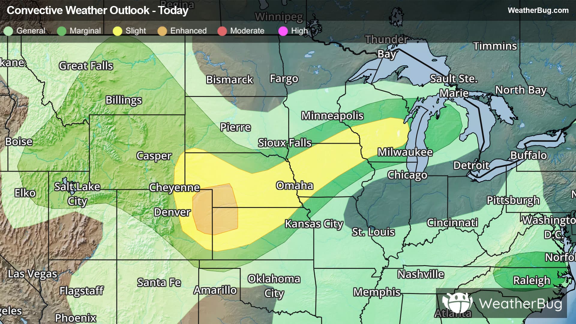
 50% Chance of StormsHourly details
Today
78°FSunny in the morning then partly sunny with a chance of showers and thunderstorms in the afternoon. Highs in the lower 80s. Temperature falling into the mid 70s in the afternoon. West winds 5 to 10 mph. Chance of rain 50 percent.
Tonight
54°F
Mostly cloudy with a chance of showers and thunderstorms in the evening then partly cloudy after midnight. Some thunderstorms may produce small hail in the evening. Lows in the lower 50s. South winds 5 to 10 mph. Chance of rain 50 percent.
- 74|52°F70% Chance of StormsHourly details
Day
74°FMostly sunny. Showers likely with a chance of thunderstorms in the afternoon. Some thunderstorms may produce gusty winds small hail and heavy rainfall in the afternoon. Highs in the upper 70s. West winds 5 to 10 mph becoming northwest 10 to 15 mph in the afternoon. Chance of rain 70 percent.
Night
52°F
Partly cloudy in the evening then clearing. Lows in the upper 40s. West winds 10 to 15 mph with gusts up to 25 mph becoming south around 5 mph after midnight.
- 78|55°F
 SunnyHourly details
Day
78°FSunny. Highs in the lower 80s.
Night
55°FPartly cloudy in the evening then clearing. Lows in the lower 50s.
Weekend Weather
- 87|58°FSunnyHourly details
Day
87°FMostly clear and breezy hot. Highs around 90. Lows in the upper 50s.
Night
58°F
Mostly clear and breezy hot. Highs around 90. Lows in the upper 50s.
- 87|58°FSunnyHourly details
Day
87°FMostly clear and breezy hot. Highs around 90. Lows in the upper 50s.
Night
58°FMostly clear and breezy hot. Highs around 90. Lows in the upper 50s.
- 89|60°FSunnyHourly details
Day
89°FMostly clear and breezy hot. Highs around 90. Lows in the upper 50s.
Night
60°FMostly clear and breezy hot. Highs around 90. Lows in the upper 50s.
- 85|58°F
 Partly Cloudy
Day
85°FMostly clear and breezy hot. Highs around 90. Lows in the upper 50s.
Night
58°F
Mostly clear. Low temperature around 58F. Dew point will be around 47F with an average humidity of 52%. Winds will be 7 mph from the SE.
- 86|58°F
 30% Chance of Rain
Day
86°FMostly sunny with a 30% chance for rain and thunderstorms. High temperature around 86F. Dew point will be around 47F with an average humidity of 36%. Winds will be 6 mph from the SE.
Night
58°F
Partly cloudy with a slight chance of rain. Chance of precipitation 30%. Low temperature around 58F. Dew point will be around 51F with an average humidity of 57%. Winds will be 6 mph from the SE.
- 82|57°F40% Chance of Rain
Day
82°FPartly cloudy with a 35% chance for rain and thunderstorms. High temperature around 82F. Dew point will be around 51F with an average humidity of 44%. Winds will be 4 mph from the SE.
Night
57°FPartly cloudy with a 40% chance for rain and thunderstorms. Low temperature around 57F. Dew point will be around 53F with an average humidity of 67%. Winds will be 5 mph from the SE.
- 83|58°F40% Chance of Rain
Day
83°FPartly cloudy with a 35% chance for rain and thunderstorms. High temperature around 83F. Dew point will be around 50F with an average humidity of 44%. Winds will be 2 mph from the NW.
Night
58°FPartly cloudy with a 35% chance for rain and thunderstorms. Low temperature around 58F. Dew point will be around 52F with an average humidity of 60%. Winds will be 3 mph from the S.