10-Day Weather Forecast - Louisville, TN
- 79|70°F
 ThunderstormsHourly details
Today
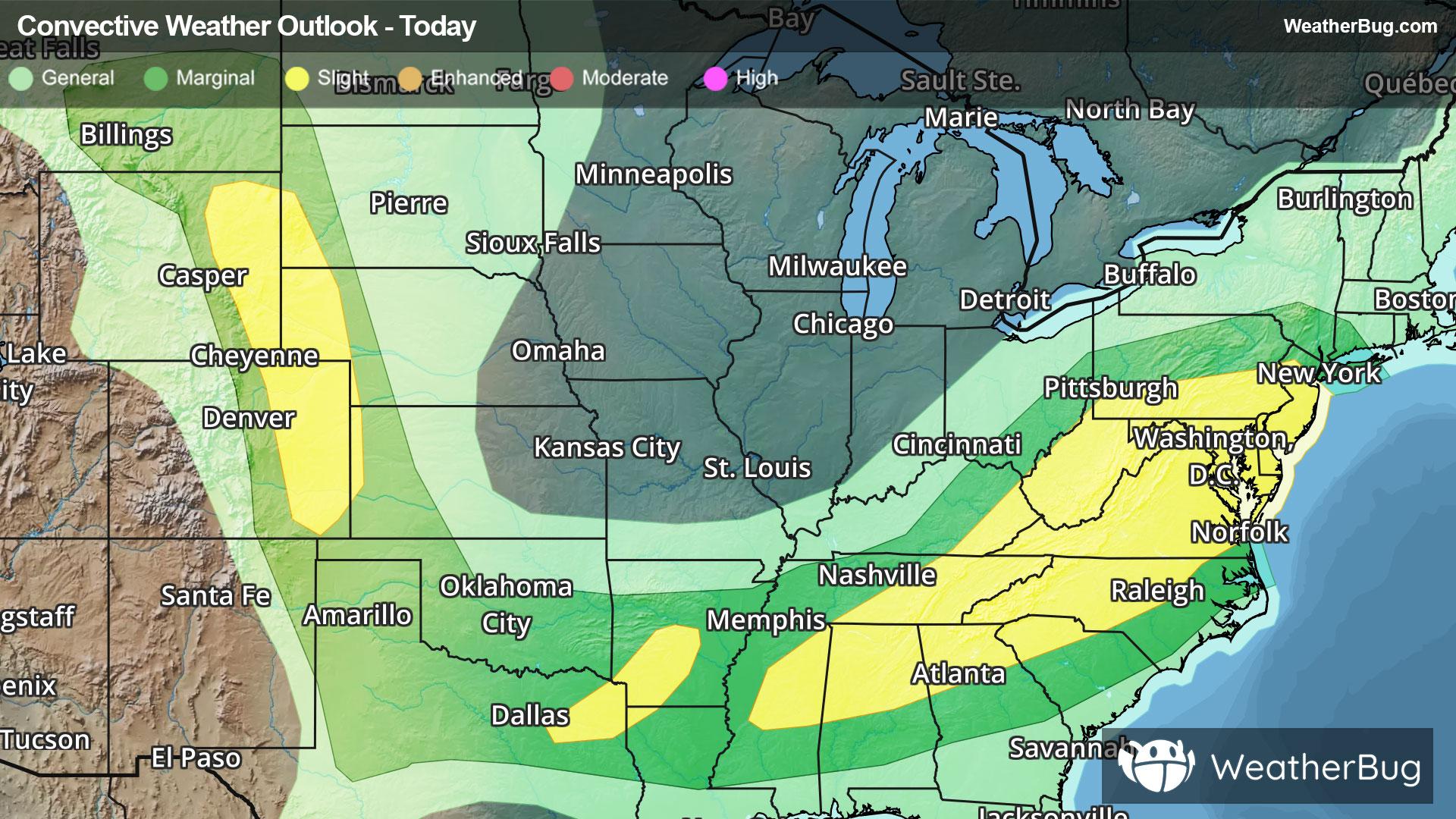
79°FA chance of showers and thunderstorms this morning then showers with thunderstorms likely this afternoon. Highs in the lower to mid 80s. Southwest winds 5 to 15 mph with gusts up to 30 mph. Chance of rain near 100 percent.
Tonight
70°F
Showers with a chance of thunderstorms in the evening then a slight chance of thunderstorms after midnight. A chance of showers after midnight. Lows in the upper 60s. West winds 10 mph or less. Chance of rain 90 percent.
- 78|63°F
 Partly SunnyHourly details
Day
78°FPartly sunny with a slight chance of showers in the morning and early afternoon then mostly sunny late. Highs in the upper 70s to lower 80s. Light winds. Chance of rain 20 percent.
Night
63°F
Mostly clear. Lows in the lower 60s. Light winds.
- 83|65°F
 SunnyHourly details
Day
83°FSunny. Highs in the mid to upper 80s. Light winds.
Night
65°F
Partly cloudy. Lows in the mid 60s.
- 86|71°F50% Chance of StormsHourly details
Day
86°FMostly sunny. A slight chance of showers and thunderstorms in the morning then a chance of showers and thunderstorms in the afternoon. Highs in the mid to upper 80s. Chance of rain 50 percent.
Night
71°FMostly cloudy with a chance of showers and thunderstorms in the evening then partly cloudy with a slight chance of showers after midnight. Lows in the upper 60s. Chance of rain 50 percent.
- 84|74°F50% Chance of StormsHourly details
Day
84°FMostly sunny. A chance of showers with a slight chance of thunderstorms in the morning then a chance of showers and thunderstorms in the afternoon. Highs in the mid to upper 80s. Chance of rain 50 percent.
Night
74°FPartly cloudy with a chance of showers and thunderstorms in the evening then mostly cloudy with a chance of showers after midnight. Lows around 70. Chance of rain 50 percent.
Weekend Weather
- 86|73°F60% Chance of StormsHourly details
Day
86°FShowers likely with a slight chance of thunderstorms in the morning then showers likely with a chance of thunderstorms in the afternoon. Highs in the mid to upper 80s. Chance of rain 60 percent.
Night
73°FMostly cloudy with a chance of showers with a slight chance of thunderstorms in the evening then partly cloudy with a chance of showers after midnight. Lows around 70. Chance of rain 40 percent.
- 90|74°F30% Chance of Storms
Day
90°FMostly sunny. A chance of showers with a slight chance of thunderstorms in the morning then a chance of showers and thunderstorms in the afternoon. Highs in the upper 80s to lower 90s. Chance of rain 30 percent.
Night
74°F
Mostly clear with a 30% chance for rain and thunderstorms. Low temperature around 74F. Dew point will be around 70F with an average humidity of 71%. Winds will be 6 mph from the S.
- 91|75°F
 30% Chance of Rain
Day
91°FSunny with a 25% chance for rain and thunderstorms. High temperature around 91F. Dew point will be around 70F with an average humidity of 63%. Winds will be 4 mph from the W.
Night
75°FMostly clear with widely scattered thunderstorms. Chance of storms 25%. Low temperature around 75F. Dew point will be around 71F with an average humidity of 71%. Winds will be 4 mph from the S.
- 90|74°F30% Chance of Rain
Day
90°FSunny with a 30% chance for rain and thunderstorms. High temperature around 90F. Dew point will be around 70F with an average humidity of 64%. Winds will be 2 mph from the W.
Night
74°FMostly clear with a 40% chance for rain and thunderstorms. Low temperature around 74F. Dew point will be around 70F with an average humidity of 71%. Winds will be 3 mph from the S.
- 90|74°F30% Chance of Rain
Day
90°FMostly sunny with a slight chance of rain. Chance of precipitation 25%. High temperature around 90F. Dew point will be around 69F with an average humidity of 63%. Winds will be 2 mph from the W.
Night
74°FMostly clear with a 45% chance for rain and thunderstorms. Low temperature around 74F. Dew point will be around 70F with an average humidity of 72%. Winds will be 3 mph from the S.