10-Day Weather Forecast - Newport, IN
Weekend Weather
- |67°F
 Partly CloudyHourly details
Tonight
67°FPartly cloudy through the late overnight then becoming mostly cloudy. Areas of fog toward daybreak. Lows in the upper 60s. Light and variable winds.
- 87|73°F
 Partly CloudyHourly details
Day
87°FMostly cloudy through early afternoon then becoming partly cloudy. Patchy fog through early afternoon. Much warmer. Humid with highs in the upper 80s. South winds around 5 mph becoming west around 5 mph late in the afternoon.
Night
73°F
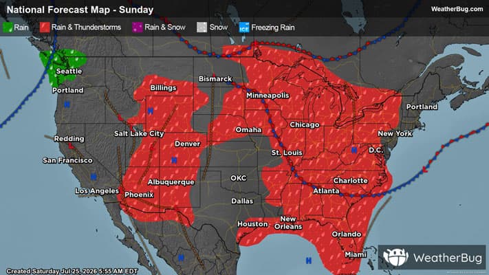
Partly cloudy with a chance of showers and thunderstorms. Humid with lows in the lower 70s. South winds around 5 mph. Chance of rain 40 percent.
- 92|75°F
 40% Chance of StormsHourly details
Day
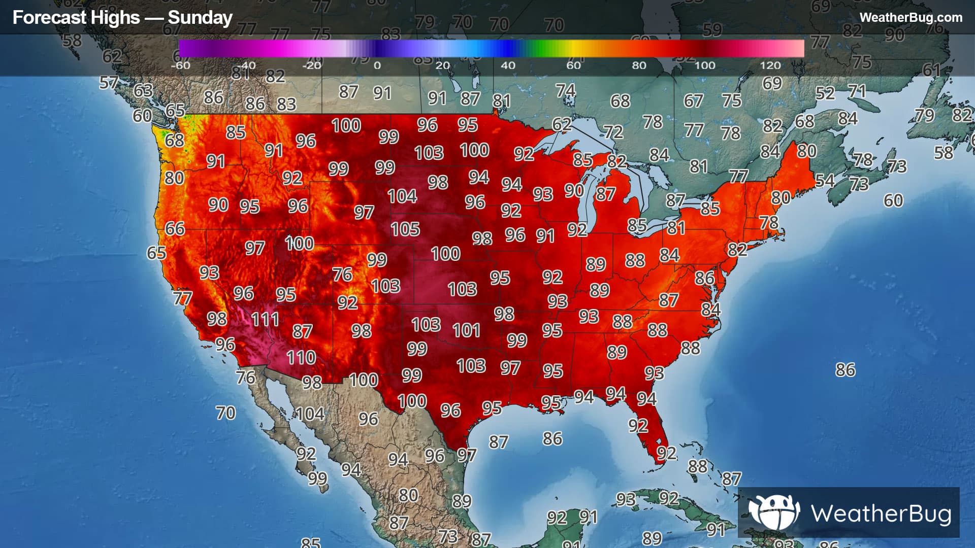
92°FPartly cloudy with a chance of showers and thunderstorms through early afternoon then mostly sunny late in the afternoon. Hot with highs in the mid 90s. Southwest winds 10 to 15 mph. Chance of rain 40 percent. Heat index values up to 110.
Night
75°FMostly clear. A chance of showers and thunderstorms through the late overnight. Humid with lows in the lower 70s. Southwest winds around 10 mph with gusts up to 20 mph becoming west toward daybreak. Chance of rain 40 percent.
- 85|64°F
 Mostly SunnyHourly details
Day
85°FMostly clear. Highs in the upper 80s. Lows in the lower 60s.
Night
64°F
Mostly clear. Highs in the upper 80s. Lows in the lower 60s.
- 81|61°F
 SunnyHourly details
Day
81°FClear. Highs in the mid 80s. Lows in the lower 60s.
Night
61°F
Clear. Highs in the mid 80s. Lows in the lower 60s.
- 82|63°FMostly SunnyHourly details
Day
82°FMostly sunny. Highs in the mid 80s.
Night
63°FPartly cloudy. Lows in the mid 60s.
- 82|66°FPartly CloudyHourly details
Day
82°FPartly cloudy with a slight chance of showers and thunderstorms. Highs in the mid 80s. Lows in the mid 60s. Chance of rain 20 percent.
Night
66°FPartly cloudy with a slight chance of showers and thunderstorms. Highs in the mid 80s. Lows in the mid 60s. Chance of rain 20 percent.
Weekend Weather
- 84|64°FPartly Cloudy
Day
84°FPartly cloudy with a slight chance of showers and thunderstorms. Highs in the mid 80s. Lows in the mid 60s. Chance of rain 20 percent.
Night
64°F
Clear with a 30% chance for rain and thunderstorms. Low temperature around 64F. Dew point will be around 63F with an average humidity of 74%. Winds will be 4 mph from the N.
- 83|64°FSunny
Day
83°FSunny with widely scattered thunderstorms. Chance of storms 30%. High temperature around 83F. Dew point will be around 65F with an average humidity of 72%. Winds will be 3 mph from the N.
Night
64°FClear with widely scattered thunderstorms. Chance of storms 30%. Low temperature around 64F. Dew point will be around 62F with an average humidity of 75%. Winds will be 3 mph from the NE.
- 84|66°FSunny
Day
84°FSunny. High temperature around 84F. Dew point will be around 65F with an average humidity of 71%. Winds will be 1 mph from the NE.
Night
66°FClear with widely scattered thunderstorms. Chance of storms 25%. Low temperature around 66F. Dew point will be around 63F with an average humidity of 73%. Winds will be 2 mph from the SE.