10-Day Weather Forecast - Paisley, OR
- 87|58°F
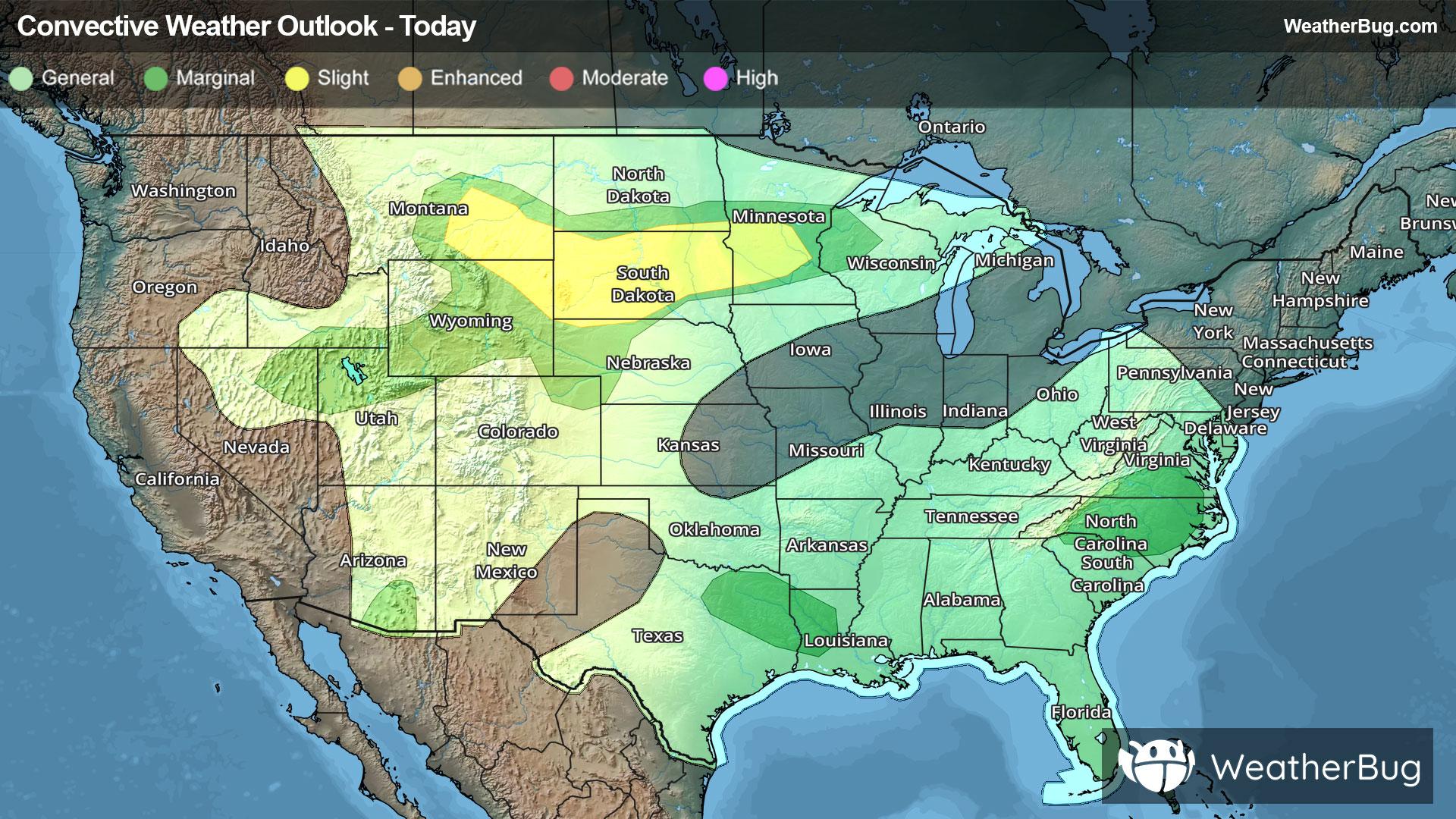
 Chance of StormsHourly details
Today
87°FSunny. Slight chance of thunderstorms late this afternoon. Highs in the mid 80s to lower 90s. Southwest winds 10 to 15 mph.
Tonight
58°F
Mostly clear. Slight chance of thunderstorms in the evening. Lows in the lower to mid 50s. West winds 10 to 15 mph.
- 83|55°F
 SunnyHourly details
Day
83°FSunny. Highs in the lower 80s to lower 90s. Northwest winds 5 to 10 mph.
Night
55°F
Mostly clear. Lows in the mid 40s to mid 50s. Northwest winds 10 to 15 mph.
- 86|56°FSunnyHourly details
Day
86°FSunny. Highs in the lower 80s to lower 90s. Northwest winds 5 to 10 mph.
Night
56°F
Clear. Lows in the mid 40s to mid 50s. Highs in the lower 80s to lower 90s.
- 89|56°FSunnyHourly details
Day
89°FClear. Lows in the mid 40s to mid 50s. Highs in the lower 80s to lower 90s.
Night
56°FMostly clear. Lows in the mid 40s to mid 50s. Highs in the mid 80s to lower 90s.
Weekend Weather
- 89|57°F
 Mostly SunnyHourly details
Day
89°FMostly clear. Lows in the mid 40s to mid 50s. Highs in the mid 80s to lower 90s.
Night
57°F
Partly cloudy. Lows in the mid 40s to mid 50s. Highs in the mid 80s to lower 90s.
- 87|62°F
 Partly CloudyHourly details
Day
87°FPartly cloudy. Lows in the mid 40s to mid 50s. Highs in the mid 80s to lower 90s.
Night
62°F
Mostly cloudy. Lows in the lower to mid 50s.
- 86|61°FPartly Cloudy
Day
86°FPartly cloudy. Highs in the lower 80s to lower 90s.
Night
61°FMostly clear. Low temperature around 61F. Dew point will be around 44F with an average humidity of 41%. Winds will be 6 mph from the W.
- 91|61°FMostly Sunny
Day
91°FMostly sunny with scattered thunderstorms. Chance of storms 40%. High temperature around 90F. Dew point will be around 47F with an average humidity of 32%. Winds will be 4 mph from the S.
Night
61°FPartly cloudy with scattered thunderstorms. Chance of storms 35%. Low temperature around 61F. Dew point will be around 47F with an average humidity of 44%. Winds will be 4 mph from the NW.
- 91|62°FSunny
Day
91°FSunny. High temperature around 91F. Dew point will be around 48F with an average humidity of 33%. Winds will be 4 mph from the S.
Night
62°FClear. Low temperature around 62F. Dew point will be around 49F with an average humidity of 45%. Winds will be 4 mph from the NW.
- 92|63°FSunny
Day
92°FSunny. High temperature around 92F. Dew point will be around 50F with an average humidity of 34%. Winds will be 3 mph from the SE.
Night
63°FClear. Low temperature around 63F. Dew point will be around 48F with an average humidity of 44%. Winds will be 4 mph from the NW.