10-Day Weather Forecast - Saint Louis, MI
- 82|58°F
 SunnyHourly details
Today
82°FSunny. Patchy fog in the morning. Highs in the lower 80s. Light winds.
Tonight
58°F
Clear. Lows in the mid 50s. Light winds.
- 86|64°FSunnyHourly details
Day
86°FSunny. Highs in the upper 80s. Southwest winds around 10 mph. Gusts up to 20 mph in the afternoon.
Night
64°F
Mostly clear. Lows in the lower 60s. Southwest winds 5 to 10 mph. Gusts up to 20 mph in the evening.
- 80|64°F
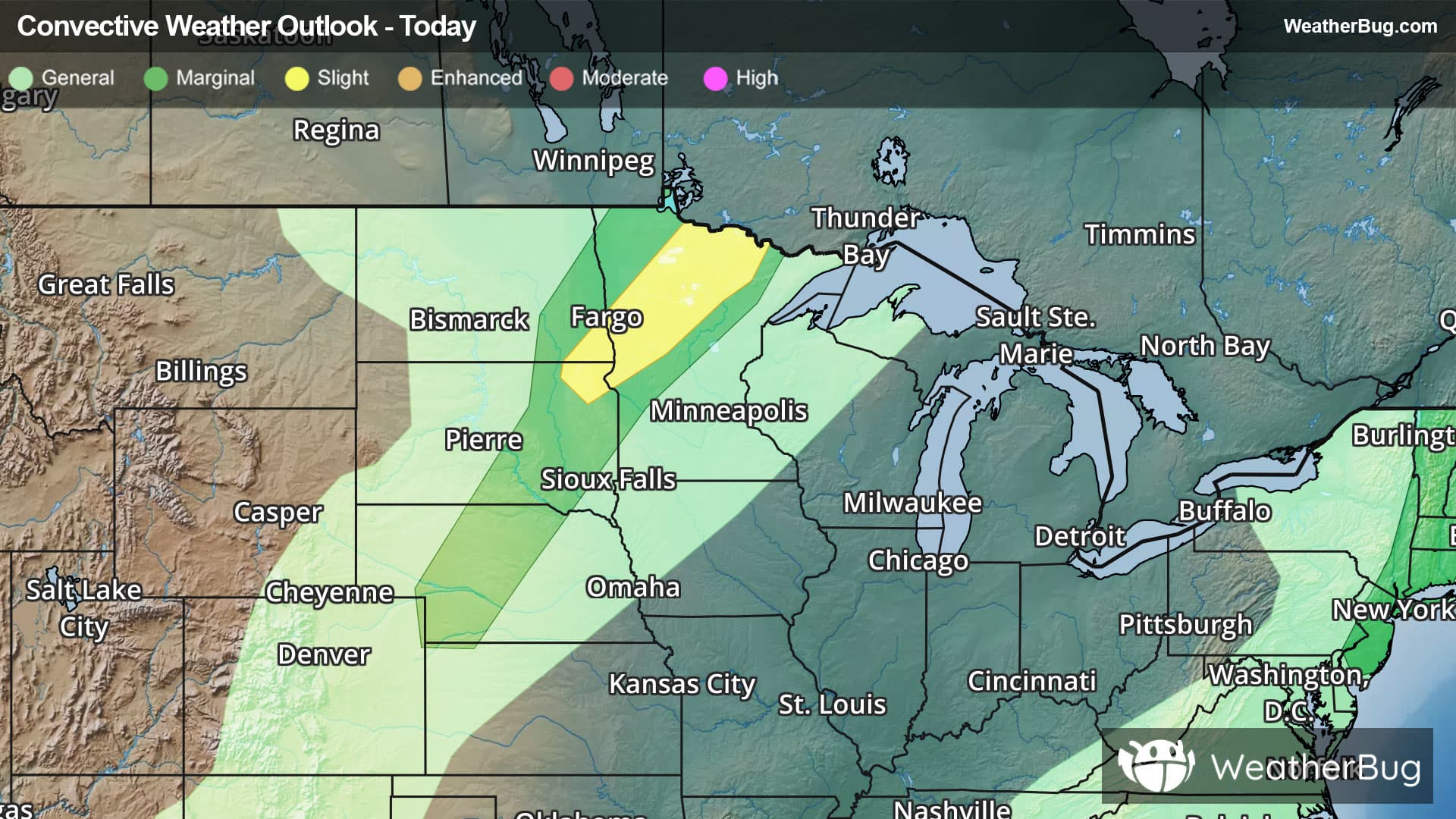
 50% Chance of StormsHourly details
Day
80°FMostly sunny with a slight chance of showers in the morning, then partly sunny with a chance of showers and a slight chance of thunderstorms in the afternoon. Highs in the mid 80s. Southwest winds 5 to 10 mph. Gusts up to 20 mph in the afternoon. Chance of rain 50 percent.
Night
64°F
Showers likely and a chance of thunderstorms. Lows in the lower 60s. Chance of rain 70 percent.
- 78|60°F50% Chance of StormsHourly details
Day
78°FMostly cloudy with a 50 percent chance of showers and thunderstorms. Highs around 80.
Night
60°F
Partly cloudy with a 20 percent chance of rain showers. Lows in the upper 50s.
- 83|62°F
 Mostly SunnyHourly details
Day
83°FMostly sunny. Highs in the mid 80s.
Night
62°FMostly clear. Lows in the lower 60s.
Weekend Weather
- 86|65°FMostly SunnyHourly details
Day
86°FMostly sunny. Highs in the upper 80s.
Night
65°FMostly clear with a 20 percent chance of showers. Lows in the mid 60s.
- 86|65°FMostly Sunny
Day
86°FMostly sunny with a 20 percent chance of showers and thunderstorms. Highs in the upper 80s.
Night
65°F
Partly cloudy with a 35% chance for rain and thunderstorms. Low temperature around 65F. Dew point will be around 67F with an average humidity of 84%. Winds will be 6 mph from the W.
- 80|62°F
 30% Chance of Rain
Day
80°FMostly sunny with a 35% chance for rain and thunderstorms. High temperature around 80F. Dew point will be around 66F with an average humidity of 78%. Winds will be 2 mph from the NW.
Night
62°FClear with a 30% chance for rain and thunderstorms. Low temperature around 62F. Dew point will be around 63F with an average humidity of 81%. Winds will be 2 mph from the E.
- 77|62°F30% Chance of Rain
Day
77°FMostly sunny with a 30% chance for rain and thunderstorms. High temperature around 77F. Dew point will be around 63F with an average humidity of 76%. Winds will be 1 mph from the E.
Night
62°FMostly clear with a 35% chance for rain and thunderstorms. Low temperature around 62F. Dew point will be around 62F with an average humidity of 83%. Winds will be 1 mph from the E.
- 78|63°F40% Chance of Rain
Day
78°FMostly sunny with a 40% chance for rain and thunderstorms. High temperature around 78F. Dew point will be around 64F with an average humidity of 77%. Winds will be 1 mph from the SW.
Night
63°FMostly clear with a 40% chance for rain and thunderstorms. Low temperature around 63F. Dew point will be around 64F with an average humidity of 83%. Winds will be 1 mph from the SE.