10-Day Weather Forecast - Salyer, CA
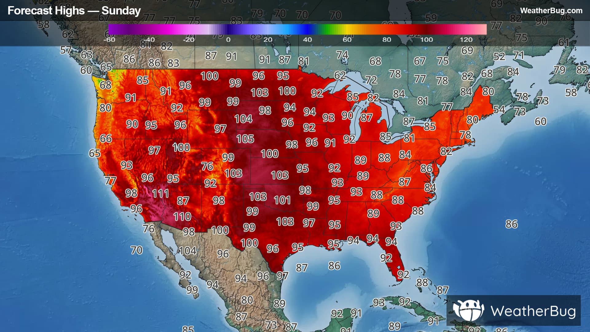
Weekend Weather
- |55°F
 ClearHourly details
Tonight
55°FClear. Lows 49 to 59. West wind up to 10 mph.
- 85|54°F
 SunnyHourly details
Day
85°FSunny. Highs 84 to 99. West wind 5 to 15 mph.
Night
54°FClear. Lows 48 to 58. West wind 5 to 15 mph.
- 85|54°FSunnyHourly details
Day
85°FSunny. Highs 87 to 102. West wind around 10 mph.
Night
54°FClear. Lows 48 to 58. Highs 87 to 102. Northwest wind 5 to 15 mph.
- 83|54°FSunnyHourly details
Day
83°FClear. Lows 48 to 58. Highs 87 to 102. Northwest wind 5 to 15 mph.
Night
54°FClear. Lows 52 to 62. Highs 93 to 108.
- 83|53°FSunnyHourly details
Day
83°FClear. Lows 52 to 62. Highs 93 to 108.
Night
53°FClear. Lows 52 to 62. Highs 93 to 108.
- 87|57°FSunnyHourly details
Day
87°FClear. Lows 52 to 62. Highs 93 to 108.
Night
57°FClear. Lows 52 to 62. Highs 93 to 108.
- 91|56°FSunnyHourly details
Day
91°FClear. Lows 52 to 62. Highs 93 to 108.
Night
56°FClear. Lows 52 to 62. Highs 93 to 108.
Weekend Weather
- 87|57°FSunny
Day
87°FClear. Lows 52 to 62. Highs 93 to 108.
Night
57°FClear. Low temperature around 57F. Dew point will be around 51F with an average humidity of 59%. Winds will be 2 mph from the NW.
- 90|60°FSunny
Day
90°FSunny. High temperature around 90F. Dew point will be around 50F with an average humidity of 39%. Winds will be 5 mph from the NW.
Night
60°FClear. Low temperature around 60F. Dew point will be around 48F with an average humidity of 48%. Winds will be 2 mph from the W.
- 94|63°FSunny
Day
94°FSunny. High temperature around 94F. Dew point will be around 47F with an average humidity of 30%. Winds will be 4 mph from the W.
Night
63°FClear. Low temperature around 63F. Dew point will be around 47F with an average humidity of 42%. Winds will be 2 mph from the W.