10-Day Weather Forecast - Shippensburg, PA
- 81|62°F
 ThunderstormsHourly details
Today
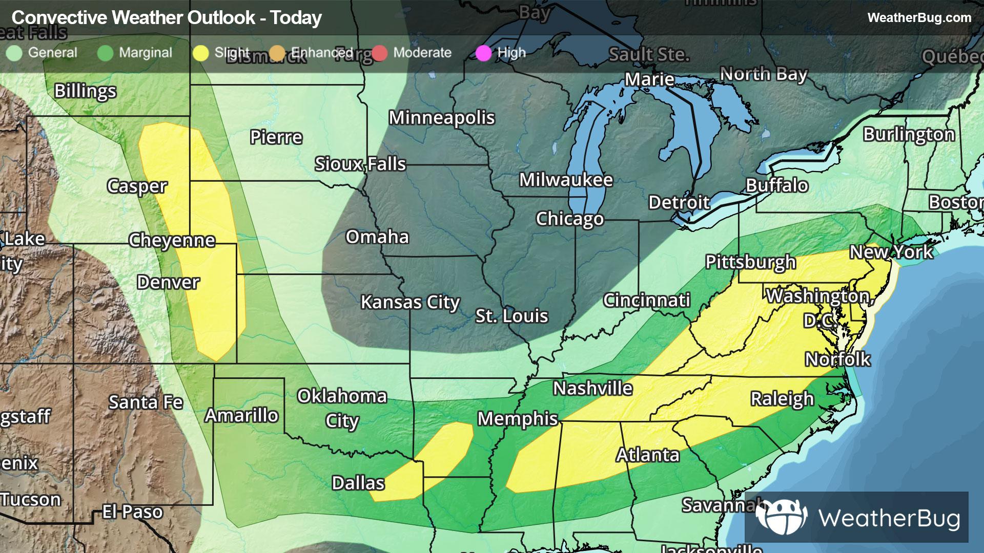
81°FCloudy. A chance of showers with a slight chance of thunderstorms this morning then showers with a chance of thunderstorms this afternoon. Some thunderstorms may be severe with damaging winds this afternoon. Locally heavy rainfall possible this afternoon. Highs in the upper 70s. East winds around 5 mph becoming south around 5 mph this afternoon. Chance of rain 90 percent.
Tonight
62°F
Cloudy. Showers with a chance of thunderstorms in the evening then a chance of showers and thunderstorms after midnight. Patchy fog after midnight. Some thunderstorms may be severe with damaging winds in the evening. Humid with lows in the lower 60s. South winds around 5 mph becoming west with gusts up to 20 mph after midnight. Chance of rain 90 percent.
- 79|58°F
 Partly SunnyHourly details
Day
79°FMostly cloudy in the morning then becoming partly sunny. Highs in the upper 70s. North winds 5 to 10 mph with gusts up to 20 mph.
Night
58°F
Mostly clear. Lows in the mid 50s. Northwest winds 5 to 10 mph.
- 83|58°F
 SunnyHourly details
Day
83°FSunny. Highs in the lower 80s. Northwest winds around 5 mph.
Night
58°F
Mostly clear in the evening then becoming partly cloudy. Lows in the lower 60s.
- 87|64°F40% Chance of StormsHourly details
Day
87°FMostly sunny. A chance of showers and thunderstorms in the afternoon. Highs in the mid 80s. Chance of rain 40 percent.
Night
64°FMostly cloudy with a chance of showers and thunderstorms. Lows in the mid 60s. Chance of rain 50 percent.
- 89|66°F50% Chance of StormsHourly details
Day
89°FPartly sunny with a chance of showers. A chance of thunderstorms in the afternoon. Humid with highs in the mid 80s. Chance of rain 50 percent.
Night
66°FMostly cloudy with a chance of showers and thunderstorms in the evening then partly cloudy after midnight. Lows in the lower 60s. Chance of rain 50 percent.
Weekend Weather
- 82|65°F
 30% Chance Rain ShowersHourly details
Day
82°FPartly sunny with a chance of showers. Highs in the lower 80s. Chance of rain 30 percent.
Night
65°F
Mostly cloudy. Lows in the lower 60s.
- 87|65°F
 Mostly Sunny
Day
87°FMostly sunny. Highs in the lower 80s.
Night
65°FPartly cloudy. Low temperature around 65F. Dew point will be around 69F with an average humidity of 90%. Winds will be 1 mph from the SE.
- 91|70°FMostly Sunny
Day
91°FMostly sunny. High temperature around 91F. Dew point will be around 73F with an average humidity of 71%. Winds will be 2 mph from the SW.
Night
70°F
Mostly clear with a 25% chance for rain and thunderstorms. Low temperature around 70F. Dew point will be around 71F with an average humidity of 88%. Winds will be 2 mph from the S.
- 94|71°F
 30% Chance of Rain
Day
94°FSunny with a 25% chance for rain and thunderstorms. High temperature around 94F. Dew point will be around 75F with an average humidity of 71%. Winds will be 4 mph from the SW.
Night
71°FClear with a 35% chance for rain and thunderstorms. Low temperature around 71F. Dew point will be around 72F with an average humidity of 86%. Winds will be 2 mph from the SW.
- 94|71°F30% Chance of Rain
Day
94°FSunny with a 30% chance for rain and thunderstorms. High temperature around 94F. Dew point will be around 75F with an average humidity of 69%. Winds will be 3 mph from the SW.
Night
71°FMostly clear with a 45% chance for rain and thunderstorms. Low temperature around 71F. Dew point will be around 72F with an average humidity of 87%. Winds will be 2 mph from the SW.