10-Day Weather Forecast - Sioux City, IA
- 79|71°F
 50% Chance of StormsHourly details
Today
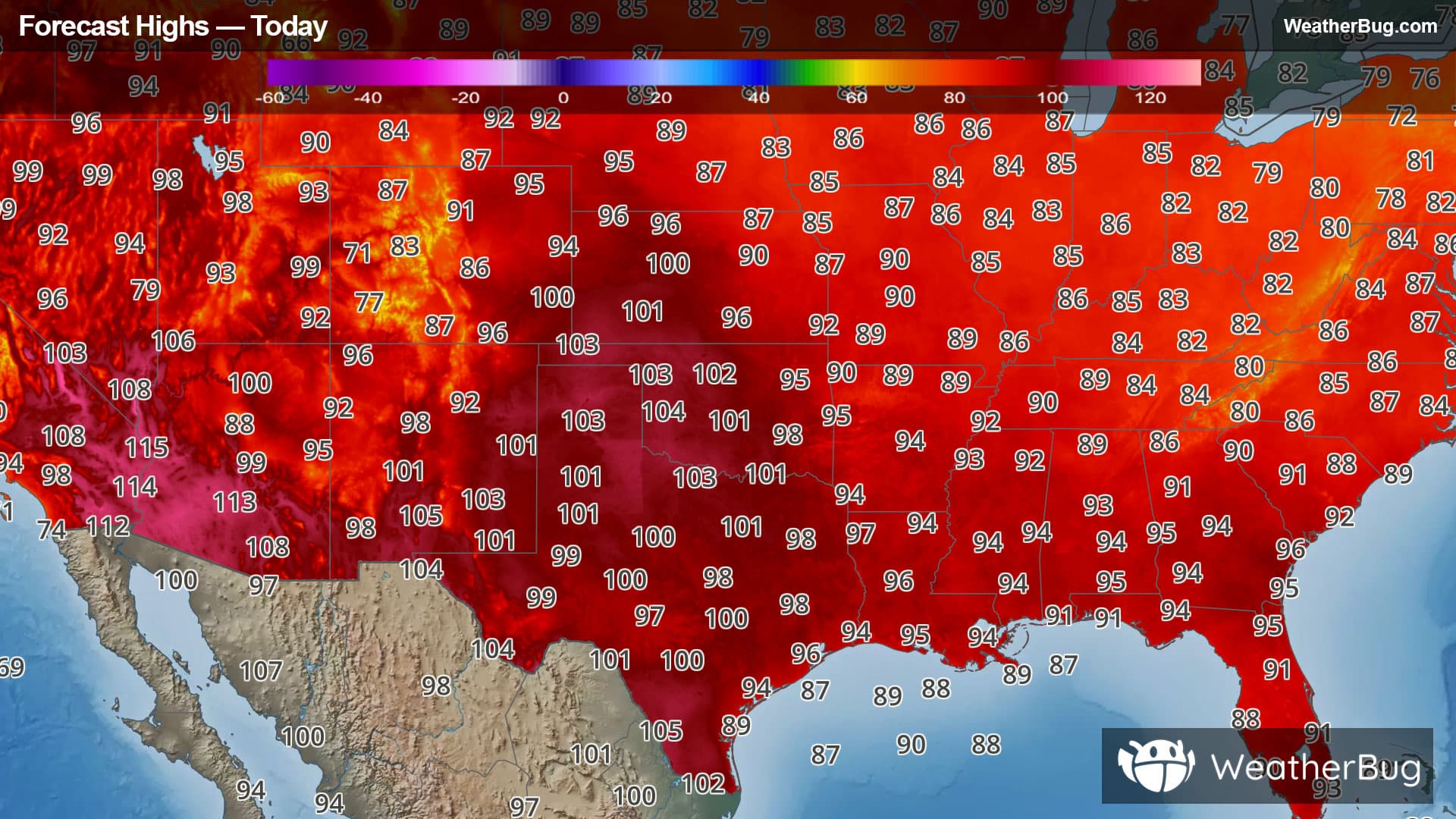
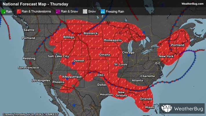
79°FPartly sunny with a chance of showers and thunderstorms. Near steady temperature in the lower 80s. Southeast winds 10 to 15 mph with gusts up to 25 mph. Chance of rain 50 percent.
Tonight
71°F
A chance of thunderstorms. Showers. Locally heavy rainfall possible in the evening. Humid with lows in the mid 60s. South winds 10 to 15 mph, becoming southwest 5 to 10 mph after midnight. Chance of rain near 100 percent.
- 73|64°F50% Chance of StormsHourly details
Day
73°FCloudy in the morning, then becoming partly sunny. A chance of showers with a slight chance of thunderstorms. Humid with highs in the upper 70s. Northwest winds 10 to 15 mph, becoming north 15 to 20 mph in the afternoon. Gusts up to 35 mph. Chance of rain 50 percent.
Night
64°F
Mostly clear. Humid with lows around 60. North winds 15 to 20 mph with gusts up to 30 mph, diminishing to around 5 mph after midnight.
Weekend Weather
- 80|63°F
 SunnyHourly details
Day
80°FSunny with highs in the lower 80s. North winds 5 to 10 mph.
Night
63°FMostly clear. Lows in the lower 60s.
- 83|65°FSunnyHourly details
Day
83°FSunny. Highs in the lower 80s.
Night
65°FMostly clear. Lows in the mid 60s.
- 84|66°FSunnyHourly details
Day
84°FSunny. Highs in the mid 80s.
Night
66°FMostly clear. Lows in the mid 60s.
- 76|65°F
 Mostly SunnyHourly details
Day
76°FMostly sunny. Highs in the lower 80s.
Night
65°FPartly cloudy. A chance of showers and thunderstorms after midnight. Lows in the lower 60s. Chance of rain 50 percent.
- 80|65°F
 50% Chance Rain Showers
Day
80°FMostly cloudy in the morning, then becoming partly sunny. A chance of showers in the morning. Highs in the lower 80s. Chance of rain 50 percent.
Night
65°F
Mostly clear with a 35% chance for rain and thunderstorms. Low temperature around 65F. Dew point will be around 61F with an average humidity of 75%. Winds will be 5 mph from the SE.
- 87|68°FSunny
Day
87°FSunny with widely scattered thunderstorms. Chance of storms 25%. High temperature around 87F. Dew point will be around 66F with an average humidity of 66%. Winds will be 5 mph from the S.
Night
68°F
Clear. Low temperature around 68F. Dew point will be around 66F with an average humidity of 70%. Winds will be 4 mph from the S.
- 85|70°FMostly Sunny
Day
85°FMostly sunny. High temperature around 85F. Dew point will be around 67F with an average humidity of 69%. Winds will be 3 mph from the S.
Night
70°FClear. Low temperature around 70F. Dew point will be around 67F with an average humidity of 70%. Winds will be 2 mph from the S.
Weekend Weather
- 86|68°FSunny
Day
86°FSunny. High temperature around 86F. Dew point will be around 68F with an average humidity of 66%. Winds will be 2 mph from the SE.
Night
68°FClear. Low temperature around 68F. Dew point will be around 68F with an average humidity of 75%. Winds will be 2 mph from the SE.