10-Day Weather Forecast - Table Grove, IL
Weekend Weather
- |74°F
 Partly CloudyHourly details
Tonight
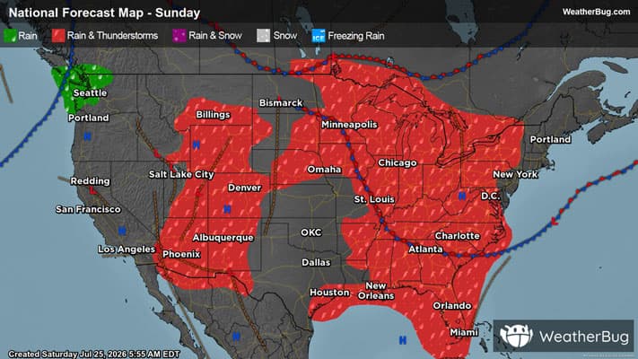
74°FPartly cloudy. A slight chance of showers and thunderstorms. Patchy fog. Lows in the lower 70s. Southeast winds around 5 mph. Chance of rain 20 percent.
- 93|77°F
 40% Chance of StormsHourly details
Day
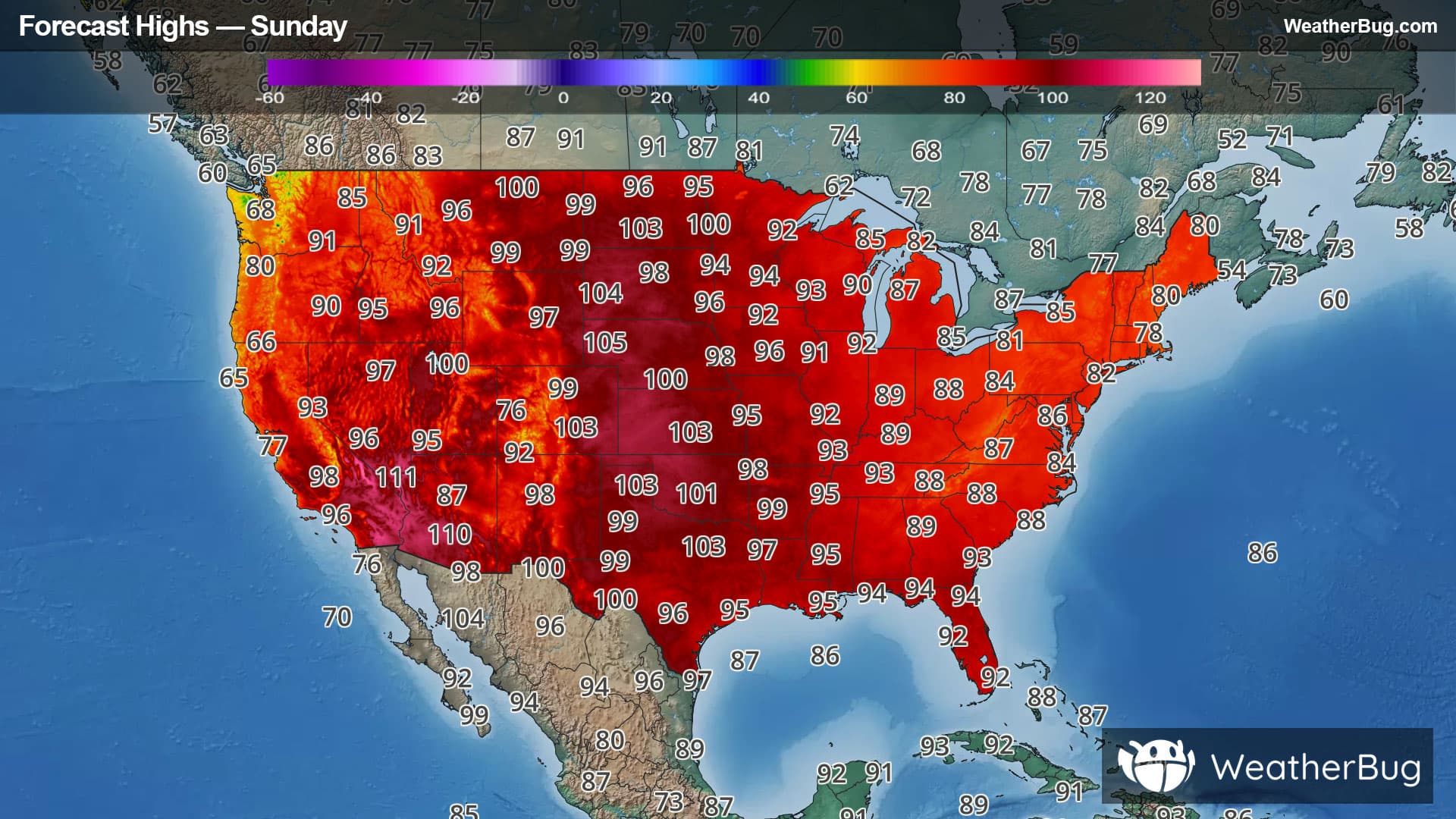
93°FPartly sunny. Patchy fog in the morning. A chance of showers and thunderstorms mainly in the morning. Humid with highs in the lower 90s. South winds around 5 mph. Chance of rain 40 percent. Heat index values up to 109.
Night
77°FPartly cloudy. A slight chance of showers and thunderstorms in the evening. Humid with lows in the mid 70s. Southwest winds around 5 mph. Chance of rain 20 percent.
- 96|75°F
 Hot and HumidHourly details
Day
96°FMostly sunny. Hot with highs in the mid 90s. Southwest winds 5 to 10 mph with gusts up to 20 mph. Heat index values up to 112.
Night
75°F
Mostly clear. Humid with lows in the mid 70s. West winds 5 to 10 mph becoming northwest after midnight.
- 87|67°F
 Mostly SunnyHourly details
Day
87°FMostly clear. Highs in the upper 80s. Lows in the mid 60s.
Night
67°FMostly clear. Highs in the upper 80s. Lows in the mid 60s.
- 86|65°FMostly SunnyHourly details
Day
86°FMostly clear. Highs in the upper 80s. Lows in the mid 60s.
Night
65°FMostly clear. Highs in the upper 80s. Lows in the mid 60s.
- 85|68°F
 Partly CloudyHourly details
Day
85°FPartly cloudy. Highs in the upper 80s. Lows in the mid 60s.
Night
68°FPartly cloudy. Highs in the upper 80s. Lows in the mid 60s.
- 84|69°FPartly CloudyHourly details
Day
84°FPartly cloudy. Highs in the upper 80s. Lows in the mid 60s.
Night
69°F
Partly cloudy in the evening then becoming mostly clear. A chance of showers after midnight. Lows in the upper 60s. Chance of rain 30 percent.
Weekend Weather
- 86|66°FMostly Sunny
Day
86°FMostly sunny. Highs in the upper 80s.
Night
66°F
Clear with scattered thunderstorms. Chance of storms 35%. Low temperature around 66F. Dew point will be around 66F with an average humidity of 80%. Winds will be 3 mph from the NE.
- 84|66°F
 Sunny
SunnyDay
84°FSunny with widely scattered thunderstorms. Chance of storms 25%. High temperature around 84F. Dew point will be around 66F with an average humidity of 69%. Winds will be 3 mph from the NE.
Night
66°FClear with widely scattered thunderstorms. Chance of storms 25%. Low temperature around 66F. Dew point will be around 66F with an average humidity of 78%. Winds will be 2 mph from the E.
- 86|69°FSunny
Day
86°FSunny with widely scattered thunderstorms. Chance of storms 25%. High temperature around 86F. Dew point will be around 65F with an average humidity of 65%. Winds will be 3 mph from the SE.
Night
69°FClear with widely scattered thunderstorms. Chance of storms 25%. Low temperature around 69F. Dew point will be around 66F with an average humidity of 72%. Winds will be 4 mph from the S.