10-Day Weather Forecast - Waubay, SD
- 82|67°F
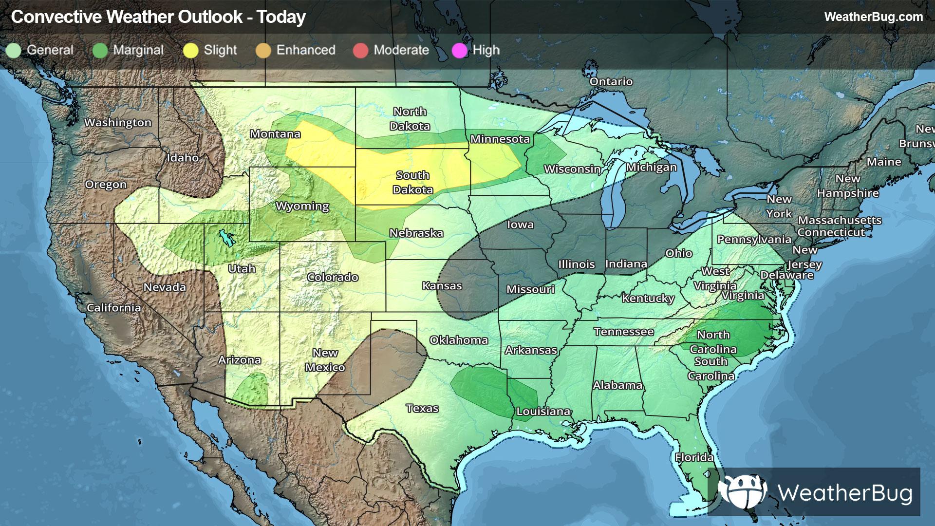
 40% Chance of StormsHourly details
Today
82°FPartly sunny with a 40 percent chance of thunderstorms. Near steady temperature in the lower 70s. East winds 15 to 20 mph.
Tonight
67°F
A chance of thunderstorms in the evening then thunderstorms after midnight. Humid with lows in the lower 60s. East winds 10 to 15 mph with gusts up to 25 mph. Chance of rain near 100 percent.
- 74|64°F40% Chance of StormsHourly details
Day
74°FMostly cloudy. A chance of thunderstorms in the morning. Highs in the mid 70s. Northeast winds around 10 mph with gusts up to 20 mph. Chance of rain 40 percent.
Night
64°F
Mostly cloudy. Lows around 60. Northeast winds 5 to 10 mph.
- 80|65°F
 Partly SunnyHourly details
Day
80°FPartly sunny. Highs in the lower 80s. Northeast winds around 5 mph.
Night
65°F
Mostly clear. Lows in the mid 60s. Highs in the upper 80s.
- 85|68°F
 Mostly SunnyHourly details
Day
85°FMostly clear. Lows in the mid 60s. Highs in the upper 80s.
Night
68°FMostly clear. Lows in the mid 60s. Highs in the upper 80s.
Weekend Weather
- 89|72°FMostly SunnyHourly details
Day
89°FMostly clear. Lows in the mid 60s. Highs in the upper 80s.
Night
72°F
Mostly clear. Hot. Lows in the lower 70s. Highs in the mid 90s.
- 95|75°F
 UnknownHourly details
Day
95°FMostly clear. Hot. Lows in the lower 70s. Highs in the mid 90s.
Night
75°FMostly clear. Hot. Lows in the lower 70s. Highs in the mid 90s.
- 96|72°FUnknown
Day
96°FMostly clear. Hot. Lows in the lower 70s. Highs in the mid 90s.
Night
72°F
Clear with scattered thunderstorms. Chance of storms 50%. Low temperature around 72F. Dew point will be around 62F with an average humidity of 51%. Winds will be 11 mph from the S.
- 91|67°F
 Sunny
SunnyDay
91°FSunny with widely scattered thunderstorms. Chance of storms 30%. High temperature around 91F. Dew point will be around 62F with an average humidity of 51%. Winds will be 2 mph from the SE.
Night
67°FClear with widely scattered thunderstorms. Chance of storms 25%. Low temperature around 67F. Dew point will be around 61F with an average humidity of 58%. Winds will be 3 mph from the E.
- 85|66°FMostly Sunny
Day
85°FMostly sunny with widely scattered thunderstorms. Chance of storms 25%. High temperature around 85F. Dew point will be around 60F with an average humidity of 57%. Winds will be 1 mph from the E.
Night
66°FClear with scattered thunderstorms. Chance of storms 35%. Low temperature around 66F. Dew point will be around 60F with an average humidity of 59%. Winds will be 3 mph from the SE.
- 86|66°FMostly Sunny
Day
86°FMostly sunny with numerous thunderstorms. Chance of storms 65%. High temperature around 86F. Dew point will be around 59F with an average humidity of 56%. Winds will be 1 mph from the SW.
Night
66°FMostly clear with numerous thunderstorms. Chance of storms 65%. Low temperature around 66F. Dew point will be around 58F with an average humidity of 57%. Winds will be 2 mph from the SE.